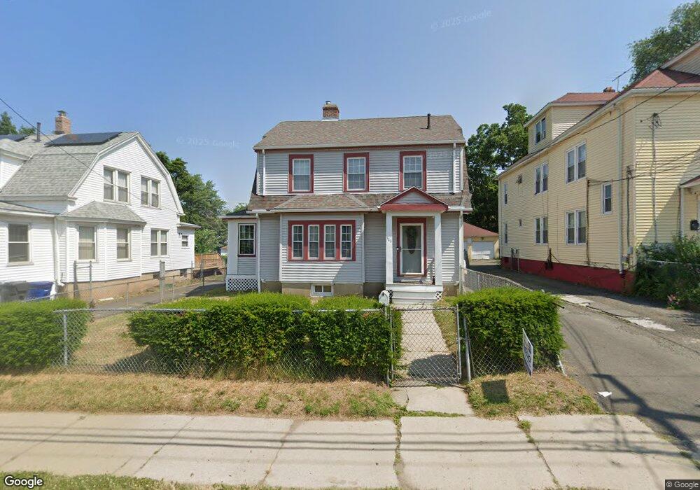
726 Tower Ave Hartford, CT 06112
Blue Hills NeighborhoodEstimated Value: $268,000 - $292,000
3
Beds
2
Baths
1,540
Sq Ft
$185/Sq Ft
Est. Value
About This Home
This home is located at 726 Tower Ave, Hartford, CT 06112 and is currently estimated at $284,544, approximately $184 per square foot. 726 Tower Ave is a home located in Hartford County with nearby schools including Rawson School, Breakthrough Magnet School - North Campus, and West Middle School.
Ownership History
Date
Name
Owned For
Owner Type
Purchase Details
Closed on
May 20, 1999
Sold by
Ghent Rt Glandine and Frazier Glendine
Bought by
Diggs Barbara
Current Estimated Value
Home Financials for this Owner
Home Financials are based on the most recent Mortgage that was taken out on this home.
Original Mortgage
$82,157
Interest Rate
6.88%
Create a Home Valuation Report for This Property
The Home Valuation Report is an in-depth analysis detailing your home's value as well as a comparison with similar homes in the area
Home Values in the Area
Average Home Value in this Area
Purchase History
| Date | Buyer | Sale Price | Title Company |
|---|---|---|---|
| Diggs Barbara | $83,000 | -- |
Source: Public Records
Mortgage History
| Date | Status | Borrower | Loan Amount |
|---|---|---|---|
| Closed | Diggs Barbara | $32,350 | |
| Open | Diggs Barbara | $131,250 | |
| Closed | Diggs Barbara | $16,055 | |
| Closed | Diggs Barbara | $82,157 |
Source: Public Records
Tax History Compared to Growth
Tax History
| Year | Tax Paid | Tax Assessment Tax Assessment Total Assessment is a certain percentage of the fair market value that is determined by local assessors to be the total taxable value of land and additions on the property. | Land | Improvement |
|---|---|---|---|---|
| 2024 | $5,739 | $83,239 | $6,762 | $76,477 |
| 2023 | $5,739 | $83,239 | $6,762 | $76,477 |
| 2022 | $5,739 | $83,239 | $6,762 | $76,477 |
| 2021 | $3,539 | $47,635 | $7,980 | $39,655 |
| 2020 | $3,539 | $47,635 | $7,980 | $39,655 |
| 2019 | $3,539 | $47,635 | $7,980 | $39,655 |
| 2018 | $3,419 | $46,029 | $7,711 | $38,318 |
| 2016 | $3,094 | $41,648 | $7,344 | $34,304 |
| 2015 | $3,094 | $39,669 | $6,995 | $32,674 |
| 2014 | $2,875 | $38,699 | $6,824 | $31,875 |
Source: Public Records
Map
Nearby Homes
- 11 Pershing St Unit 13
- 355 Cornwall St Unit 357
- 90 Manchester St
- 86 Hartland St
- 36 Baltic St Unit 38
- 70 Burnham St Unit 72
- 97 E Burnham St
- 179 Manchester St
- 152 Burnham St
- 117 E Pershing St
- 34 Gilbert Ave
- 180 Andover St
- 175 E Pershing St
- 157 Pembroke St Unit 159
- 144 Thomaston St
- 180 Brookline Ave
- 171 N Canaan St
- 52 Greenwood Ave
- 287 Westland St
- 84 Love Ln Unit 86
- 730 Tower Ave
- 722 Tower Ave Unit 724
- 734 Tower Ave
- 738 Tower Ave
- 527 Blue Hills Ave Unit 529
- 17 Litchfield St
- 539 Blue Hills Ave Unit 541
- 21 Litchfield St
- 531 Blue Hills Ave Unit 533
- 742 Tower Ave Unit 744
- 535 Blue Hills Ave Unit 537
- 29 Litchfield St
- 547 Blue Hills Ave Unit 549
- 11 Litchfield St Unit 13
- 746 Tower Ave
- 543 Blue Hills Ave Unit 545
- 25 Litchfield St
- 33 Litchfield St Unit 35
- 553 Blue Hills Ave
- 37 Litchfield St Unit 39