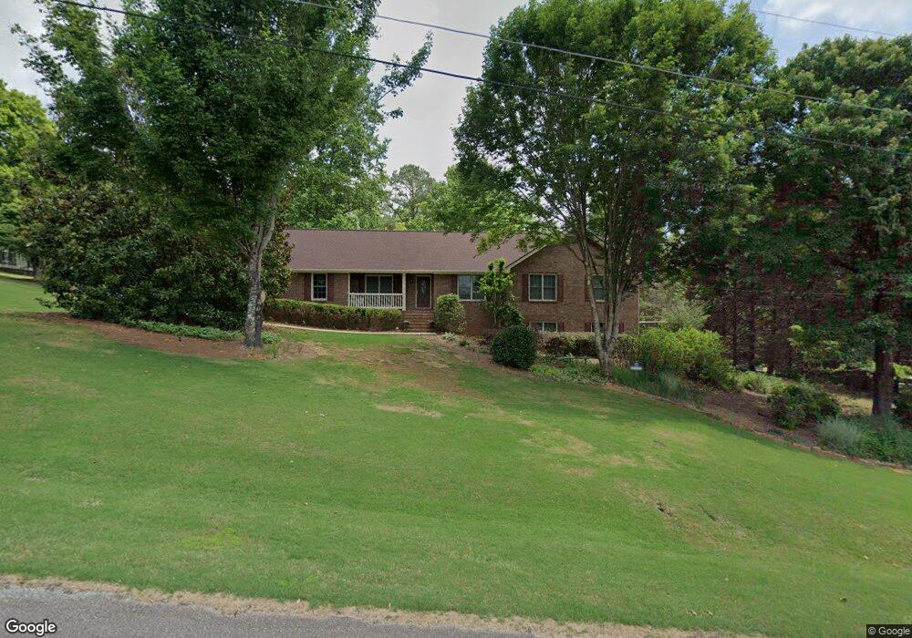
726 Wesley Cir Toccoa, GA 30577
Estimated Value: $328,798 - $558,000
5
Beds
3
Baths
2,130
Sq Ft
$187/Sq Ft
Est. Value
About This Home
This home is located at 726 Wesley Cir, Toccoa, GA 30577 and is currently estimated at $397,700, approximately $186 per square foot. 726 Wesley Cir is a home located in Stephens County with nearby schools including Stephens County High School.
Ownership History
Date
Name
Owned For
Owner Type
Purchase Details
Closed on
Oct 16, 2023
Sold by
League Nancy K
Bought by
League James C
Current Estimated Value
Purchase Details
Closed on
May 25, 2006
Sold by
Sims Walter W
Bought by
League James C and League Nancy K
Home Financials for this Owner
Home Financials are based on the most recent Mortgage that was taken out on this home.
Original Mortgage
$100,000
Interest Rate
6.5%
Mortgage Type
New Conventional
Purchase Details
Closed on
Sep 1, 1997
Bought by
<Buyer Info Not Present>
Purchase Details
Closed on
Dec 1, 1986
Bought by
<Buyer Info Not Present>
Create a Home Valuation Report for This Property
The Home Valuation Report is an in-depth analysis detailing your home's value as well as a comparison with similar homes in the area
Home Values in the Area
Average Home Value in this Area
Purchase History
| Date | Buyer | Sale Price | Title Company |
|---|---|---|---|
| League James C | -- | -- | |
| League James C | $167,000 | -- | |
| <Buyer Info Not Present> | $120,000 | -- | |
| <Buyer Info Not Present> | $115,000 | -- |
Source: Public Records
Mortgage History
| Date | Status | Borrower | Loan Amount |
|---|---|---|---|
| Previous Owner | League James C | $100,000 |
Source: Public Records
Tax History Compared to Growth
Tax History
| Year | Tax Paid | Tax Assessment Tax Assessment Total Assessment is a certain percentage of the fair market value that is determined by local assessors to be the total taxable value of land and additions on the property. | Land | Improvement |
|---|---|---|---|---|
| 2024 | $3,006 | $84,330 | $6,450 | $77,880 |
| 2023 | $2,740 | $79,162 | $6,450 | $72,712 |
| 2022 | $2,187 | $75,476 | $6,450 | $69,026 |
| 2021 | $2,127 | $70,009 | $6,450 | $63,559 |
| 2020 | $2,154 | $70,223 | $6,255 | $63,968 |
| 2019 | $2,163 | $70,223 | $6,255 | $63,968 |
| 2018 | $2,165 | $70,274 | $6,255 | $64,019 |
| 2017 | $2,199 | $70,274 | $6,255 | $64,019 |
| 2016 | $2,165 | $70,274 | $6,255 | $64,018 |
| 2015 | $2,253 | $69,842 | $6,255 | $63,586 |
| 2014 | $2,290 | $69,842 | $6,255 | $63,587 |
| 2013 | -- | $70,438 | $7,318 | $63,120 |
Source: Public Records
Map
Nearby Homes
- 668 Brookdale Rd
- 0 E Currahee St Unit 10544607
- 297 Ayers Creek Dr
- 327 Ayers Creek Dr
- 405 Ayers Creek Dr
- 110 Valley Rd
- 139 Myrtle St
- 148 Moreland Dr
- 151 Rock Creek Rd
- 0 Moreland Dr Unit 10565201
- 919 Deer Chase Rd
- 0 Brookhaven Cir Unit 10616964
- 1222 E Tugalo St
- 249 Hillcrest Dr
- 593 Cross Creek Dr
- 3013 Hwy 17 A
- 3089 Georgia 17 Alternate
- 54 Stonewood Forest Rd
- 0 Hillendale Dr Unit 7660500
- 0 Hillendale Dr Unit 10618602
- 690 Wesley Cir
- 125 Wesley Cir
- 654 Wesley Cir Unit 68
- 654 Wesley Cir
- 0 Wesley Cir Unit 8700600
- 43 Wesley Cir
- 0 Wesley Cir Unit 8953637
- 0 Wesley Cir Unit 9049414
- 0 Wesley Cir Unit Lot 3 8818408
- 0 Wesley Cir Unit 3263196
- 0 Wesley Cir Unit 7026617
- 0 Wesley Cir Unit 7062267
- 0 Wesley Cir Unit 7255244
- 0 Wesley Cir Unit 7279686
- 0 Wesley Cir Unit 7493661
- 0 Wesley Cir Unit 8134463
- 0 Wesley Cir Unit 8280048
- 0 Wesley Cir Unit 8385035
- 0 Wesley Cir Unit 8481222
- 0 Wesley Cir Unit 8613915