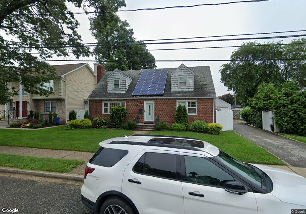
726 Wren Ct West Hempstead, NY 11552
Estimated Value: $856,843 - $890,000
1
Bed
1
Bath
2,075
Sq Ft
$421/Sq Ft
Est. Value
About This Home
This home is located at 726 Wren Ct, West Hempstead, NY 11552 and is currently estimated at $873,422, approximately $420 per square foot. 726 Wren Ct is a home located in Nassau County with nearby schools including Chestnut Street School, West Hempstead Secondary School, and Evergreen Charter School.
Ownership History
Date
Name
Owned For
Owner Type
Purchase Details
Closed on
Feb 16, 2024
Sold by
Pierre Pierrecharles
Bought by
Pierre Pierrecharles and Pierre Rachelle Dumay
Current Estimated Value
Purchase Details
Closed on
Jan 13, 2014
Sold by
Dilavore Robert J and Dilavore Janis
Bought by
Pierre Pierrecharles
Home Financials for this Owner
Home Financials are based on the most recent Mortgage that was taken out on this home.
Original Mortgage
$362,484
Outstanding Balance
$274,000
Interest Rate
4.5%
Mortgage Type
FHA
Estimated Equity
$599,422
Purchase Details
Closed on
Apr 3, 1998
Create a Home Valuation Report for This Property
The Home Valuation Report is an in-depth analysis detailing your home's value as well as a comparison with similar homes in the area
Home Values in the Area
Average Home Value in this Area
Purchase History
| Date | Buyer | Sale Price | Title Company |
|---|---|---|---|
| Pierre Pierrecharles | -- | Chicago Title Insurance Co | |
| Pierre Pierrecharles | -- | Chicago Title Insurance Co | |
| Pierre Pierrecharles | $375,000 | Chicago Title Insurance Co | |
| Pierre Pierrecharles | $375,000 | Chicago Title Insurance Co | |
| Pierre Pierrecharles | $375,000 | Chicago Title Insurance Co | |
| Pierre Pierrecharles | $375,000 | Chicago Title Insurance Co | |
| Pierre Pierrecharles | $375,000 | Chicago Title Insurance Co | |
| -- | -- | -- | |
| -- | -- | -- |
Source: Public Records
Mortgage History
| Date | Status | Borrower | Loan Amount |
|---|---|---|---|
| Open | Pierre Pierrecharles | $362,484 | |
| Closed | Pierre Pierrecharles | $362,484 |
Source: Public Records
Tax History Compared to Growth
Tax History
| Year | Tax Paid | Tax Assessment Tax Assessment Total Assessment is a certain percentage of the fair market value that is determined by local assessors to be the total taxable value of land and additions on the property. | Land | Improvement |
|---|---|---|---|---|
| 2025 | $12,604 | $490 | $221 | $269 |
| 2024 | $4,111 | $511 | $230 | $281 |
| 2023 | $11,867 | $524 | $236 | $288 |
| 2022 | $11,867 | $524 | $236 | $288 |
| 2021 | $15,477 | $524 | $236 | $288 |
| 2020 | $11,875 | $693 | $485 | $208 |
| 2019 | $11,198 | $729 | $481 | $248 |
| 2018 | $11,063 | $632 | $0 | $0 |
| 2017 | $5,870 | $678 | $405 | $273 |
| 2016 | $9,136 | $897 | $536 | $361 |
| 2015 | $3,615 | $897 | $536 | $361 |
| 2014 | $3,615 | $897 | $536 | $361 |
| 2013 | $3,386 | $897 | $536 | $361 |
Source: Public Records
Map
Nearby Homes
- 647 Jennings Ave
- 815 Sunshine Ave
- 629 Park Ave
- 596 Lincoln Ave
- 55 Melvin Ave
- 513 Washington Ave
- 841 Woodfield Rd
- 301 Coventry Rd N
- 312 Coventry Rd S
- 49 Carol St
- 321 Oakford St
- 5 Juliette Rd
- 450 Rhodes Ln
- 757 Harrison St
- 0 Rhodes Ln
- 853 Arthur St
- 899 Cleveland St
- 686 Tanwood Dr
- 486 Champlain Ave
- 1024 Mahopac Rd