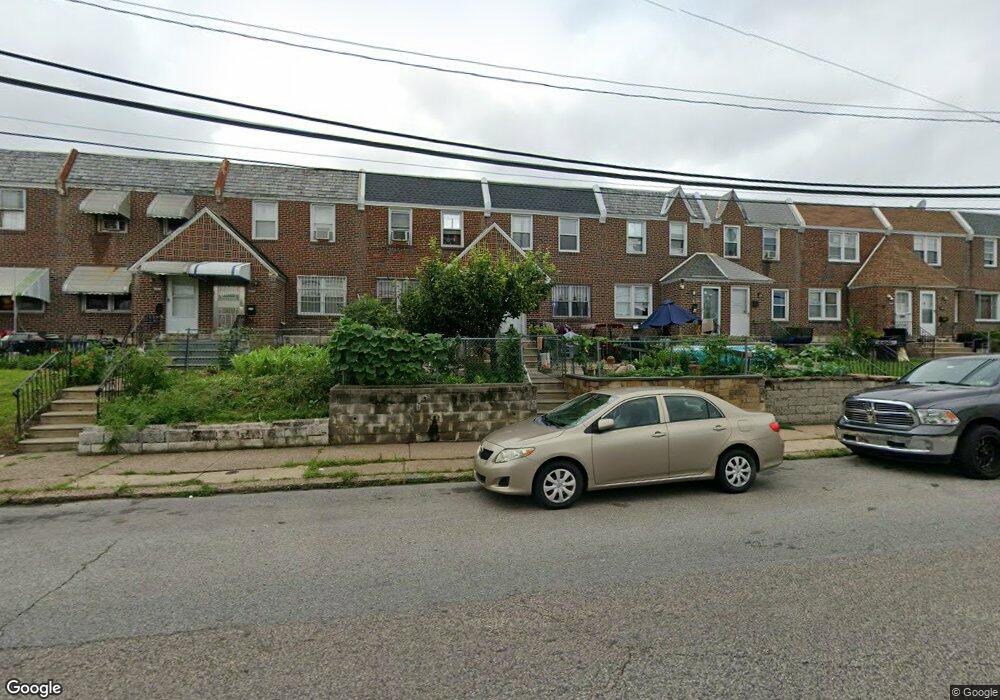
7260 Large St Philadelphia, PA 19149
Castor Gardens NeighborhoodEstimated Value: $224,000 - $253,000
3
Beds
1
Bath
1,152
Sq Ft
$204/Sq Ft
Est. Value
About This Home
This home is located at 7260 Large St, Philadelphia, PA 19149 and is currently estimated at $235,049, approximately $204 per square foot. 7260 Large St is a home located in Philadelphia County with nearby schools including Solomon Solis-Cohen School, Castor Gardens Middle School, and Northeast High School.
Ownership History
Date
Name
Owned For
Owner Type
Purchase Details
Closed on
Jun 22, 2004
Sold by
Rola Thomas E and Rola Laura C
Bought by
Lee Ping and Cheung Kelly
Current Estimated Value
Home Financials for this Owner
Home Financials are based on the most recent Mortgage that was taken out on this home.
Original Mortgage
$60,000
Interest Rate
6.25%
Mortgage Type
Purchase Money Mortgage
Purchase Details
Closed on
Jan 31, 1997
Sold by
Cohen Mildred and Cohen Leonard
Bought by
Rola Thomas E and Daniels Laura C
Create a Home Valuation Report for This Property
The Home Valuation Report is an in-depth analysis detailing your home's value as well as a comparison with similar homes in the area
Home Values in the Area
Average Home Value in this Area
Purchase History
| Date | Buyer | Sale Price | Title Company |
|---|---|---|---|
| Lee Ping | $115,000 | -- | |
| Rola Thomas E | $56,000 | Lawyers Title Insurance Co |
Source: Public Records
Mortgage History
| Date | Status | Borrower | Loan Amount |
|---|---|---|---|
| Closed | Lee Ping | $60,000 |
Source: Public Records
Tax History Compared to Growth
Tax History
| Year | Tax Paid | Tax Assessment Tax Assessment Total Assessment is a certain percentage of the fair market value that is determined by local assessors to be the total taxable value of land and additions on the property. | Land | Improvement |
|---|---|---|---|---|
| 2025 | $2,623 | $226,400 | $45,280 | $181,120 |
| 2024 | $2,623 | $226,400 | $45,280 | $181,120 |
| 2023 | $2,623 | $187,400 | $37,480 | $149,920 |
| 2022 | $1,221 | $142,400 | $37,480 | $104,920 |
| 2021 | $1,851 | $0 | $0 | $0 |
| 2020 | $1,851 | $0 | $0 | $0 |
| 2019 | $1,776 | $0 | $0 | $0 |
| 2018 | $1,653 | $0 | $0 | $0 |
| 2017 | $1,653 | $0 | $0 | $0 |
| 2016 | $1,233 | $0 | $0 | $0 |
| 2015 | $1,583 | $0 | $0 | $0 |
| 2014 | -- | $118,100 | $18,077 | $100,023 |
| 2012 | -- | $15,584 | $1,485 | $14,099 |
Source: Public Records
Map
Nearby Homes
- 7219 Rutland St
- 1403 Englewood St
- 7123 Castor Ave
- 7230 Horrocks St
- 1425 Friendship St
- 1405 Saint Vincent St
- 1352 Englewood St
- 7123 Souder St
- 7050 Lynford St
- 1329 Saint Vincent St
- 7035 Rutland St
- 7414 Castor Ave
- 7039 Kindred St
- 7330 Belden St
- 7019 Rutland St
- 7034 Souder St
- 7247 Eastwood St
- 7231 Eastwood St
- 7337 Shisler St
- 7028 Horrocks St