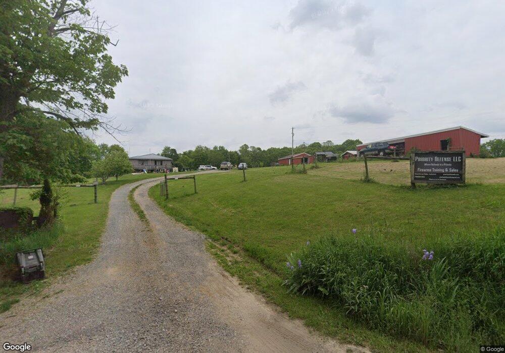
72620 Grapevine Rd Freeport, OH 43973
Estimated Value: $74,000 - $292,000
Studio
--
Bath
1,536
Sq Ft
$119/Sq Ft
Est. Value
About This Home
This home is located at 72620 Grapevine Rd, Freeport, OH 43973 and is currently estimated at $183,000, approximately $119 per square foot. 72620 Grapevine Rd is a home with nearby schools including Buckeye Trail Elementary School, Buckeye Trail Middle School, and Buckeye Trail High School.
Ownership History
Date
Name
Owned For
Owner Type
Purchase Details
Closed on
May 16, 2025
Sold by
Kimble Jennifer and Paden Jennifer
Bought by
Baker Douglas and Baker Lydia
Current Estimated Value
Home Financials for this Owner
Home Financials are based on the most recent Mortgage that was taken out on this home.
Original Mortgage
$60,000
Outstanding Balance
$59,786
Interest Rate
6.62%
Mortgage Type
New Conventional
Estimated Equity
$123,214
Create a Home Valuation Report for This Property
The Home Valuation Report is an in-depth analysis detailing your home's value as well as a comparison with similar homes in the area
Purchase History
| Date | Buyer | Sale Price | Title Company |
|---|---|---|---|
| Baker Douglas | $75,000 | None Listed On Document | |
| Baker Douglas | $75,000 | None Listed On Document |
Source: Public Records
Mortgage History
| Date | Status | Borrower | Loan Amount |
|---|---|---|---|
| Open | Baker Douglas | $60,000 | |
| Closed | Baker Douglas | $60,000 |
Source: Public Records
Tax History
| Year | Tax Paid | Tax Assessment Tax Assessment Total Assessment is a certain percentage of the fair market value that is determined by local assessors to be the total taxable value of land and additions on the property. | Land | Improvement |
|---|---|---|---|---|
| 2024 | $2,143 | $55,308 | $18,246 | $37,062 |
| 2023 | $2,070 | $48,513 | $16,005 | $32,508 |
| 2022 | $1,922 | $48,520 | $16,010 | $32,510 |
| 2021 | $1,851 | $48,520 | $16,010 | $32,510 |
| 2020 | $1,690 | $44,780 | $13,800 | $30,980 |
| 2019 | $1,673 | $44,780 | $13,800 | $30,980 |
| 2018 | $771 | $44,780 | $13,800 | $30,980 |
| 2017 | $1,537 | $38,850 | $12,000 | $26,850 |
| 2016 | $1,527 | $38,850 | $12,000 | $26,850 |
| 2015 | $1,527 | $38,850 | $12,000 | $26,850 |
| 2014 | $1,398 | $34,170 | $8,460 | $25,710 |
| 2013 | $1,379 | $34,170 | $8,460 | $25,710 |
Source: Public Records
Map
Nearby Homes
- 18371 Sugartree Rd
- 16965 Anderson Rd
- 73353 Birmingham Rd
- 18513 Hobbler Ln
- 72631 Broadhead Rd
- 18010 Winterset Ln
- 18028 Winterset Ln
- 6030 Atkinson Creek Rd SE
- 0 Deer Horn Rd
- 0 Skull Fork Rd
- 11973 Virtue Rd
- 75959 Vandalia Ln Unit 433 & 434
- 75959 Vandalia Ln Unit 32-33-34
- 75959 Vandalia Ln
- 73291 Seminary Rd
- 15639 Grove Rd SE
- 76165 Vandalia Ln
- 75940 Smyrna Rd
- 0 Broadhead Rd Unit 179 & 180 5154762
- 0 Broadhead Rd Unit 5184409
- 72515 Grapevine Rd
- 72848 Grapevine Rd
- 72868 Grapevine Rd
- 72862 Ferdon Rd
- 72866 Ferdon Rd
- 71472 Grapevine Rd
- 72646 Acorn Rd
- 72500 Acorn Rd
- 72578 Acorn Rd
- 72690 Acorn Rd
- 72760 Acorn Rd
- 72842 Acorn Rd
- 72525 Acorn Rd
- 72724 Acorn Rd
- 71865 Stockdale Rd
- 24 Tuttle Rd
- 23 Tuttle Rd
- 22 Tuttle Rd
- 21 Tuttle Rd
- 20 Tuttle Rd
Your Personal Tour Guide
Ask me questions while you tour the home.