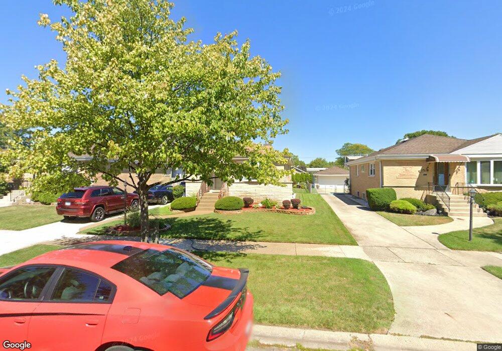
7264 W Lee St Niles, IL 60714
The Terrace NeighborhoodEstimated Value: $392,446 - $434,000
2
Beds
1
Bath
1,061
Sq Ft
$395/Sq Ft
Est. Value
About This Home
This home is located at 7264 W Lee St, Niles, IL 60714 and is currently estimated at $419,612, approximately $395 per square foot. 7264 W Lee St is a home located in Cook County with nearby schools including Melzer School, Gemini Middle School, and Maine East High School.
Ownership History
Date
Name
Owned For
Owner Type
Purchase Details
Closed on
Apr 26, 2018
Sold by
Kamys Carl T and Kamys Rosa A
Bought by
Kamys Carl T and Kamys Rosa A
Current Estimated Value
Create a Home Valuation Report for This Property
The Home Valuation Report is an in-depth analysis detailing your home's value as well as a comparison with similar homes in the area
Home Values in the Area
Average Home Value in this Area
Purchase History
| Date | Buyer | Sale Price | Title Company |
|---|---|---|---|
| Kamys Carl T | -- | Attorney |
Source: Public Records
Tax History
| Year | Tax Paid | Tax Assessment Tax Assessment Total Assessment is a certain percentage of the fair market value that is determined by local assessors to be the total taxable value of land and additions on the property. | Land | Improvement |
|---|---|---|---|---|
| 2025 | $6,185 | $37,000 | $8,450 | $28,550 |
| 2024 | $6,185 | $30,000 | $7,150 | $22,850 |
| 2023 | $5,764 | $30,000 | $7,150 | $22,850 |
| 2022 | $5,764 | $30,000 | $7,150 | $22,850 |
| 2021 | $3,803 | $19,116 | $5,037 | $14,079 |
| 2020 | $4,389 | $19,116 | $5,037 | $14,079 |
| 2019 | $4,287 | $21,241 | $5,037 | $16,204 |
| 2018 | $6,536 | $27,973 | $4,387 | $23,586 |
| 2017 | $6,488 | $27,973 | $4,387 | $23,586 |
| 2016 | $6,270 | $27,973 | $4,387 | $23,586 |
| 2015 | $5,775 | $24,118 | $3,737 | $20,381 |
| 2014 | $5,585 | $24,118 | $3,737 | $20,381 |
| 2013 | $5,469 | $24,118 | $3,737 | $20,381 |
Source: Public Records
Map
Nearby Homes
- 8650 N Shermer Rd Unit 306
- 8760 N Oketo Ave
- 8532 N Oleander Ave
- 7020 W Wright Terrace
- 8258 N Octavia Ave
- 8311 N Olcott Ave
- 8556 N Oriole Ave
- 8832 Osceola Ave
- 8453 N Ottawa Ave
- 7002 W Carol Ave
- 8640 Waukegan Rd Unit 123
- 8548 Grove St
- 7710 Dempster St Unit 404
- 7710 Dempster St Unit 408
- 8106 N Harlem Ave
- 7340 W Keeney St
- 6964 W Cleveland St
- 7730 W Dempster St Unit 209
- 8515 N Ozanam Ave
- 8927 Belleforte Ave
Your Personal Tour Guide
Ask me questions while you tour the home.