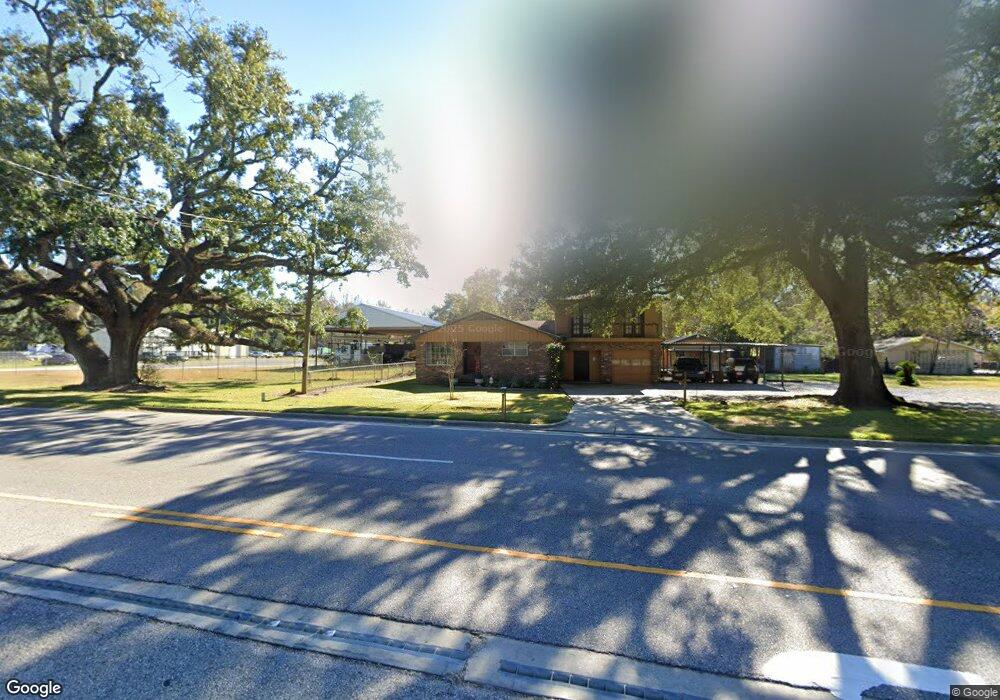
7265 Old Shell Rd Mobile, AL 36608
Estimated Value: $145,000 - $219,000
4
Beds
3
Baths
1,960
Sq Ft
$101/Sq Ft
Est. Value
About This Home
This home is located at 7265 Old Shell Rd, Mobile, AL 36608 and is currently estimated at $197,675, approximately $100 per square foot. 7265 Old Shell Rd is a home located in Mobile County with nearby schools including Taylor White Elementary School, Bernice J Causey Middle School, and Baker High School.
Ownership History
Date
Name
Owned For
Owner Type
Purchase Details
Closed on
Mar 12, 2025
Sold by
Mathiews Tawnya
Bought by
Mathiews Tawnya and Mathiews Hunter Merritt
Current Estimated Value
Purchase Details
Closed on
Jul 21, 2008
Sold by
Carlson Mary L
Bought by
Carlson Mary L and Mathiews Tawnya
Home Financials for this Owner
Home Financials are based on the most recent Mortgage that was taken out on this home.
Original Mortgage
$100,000
Interest Rate
6.27%
Mortgage Type
Unknown
Create a Home Valuation Report for This Property
The Home Valuation Report is an in-depth analysis detailing your home's value as well as a comparison with similar homes in the area
Purchase History
| Date | Buyer | Sale Price | Title Company |
|---|---|---|---|
| Mathiews Tawnya | $67,000 | None Listed On Document | |
| Carlson Mary L | $101,000 | None Available |
Source: Public Records
Mortgage History
| Date | Status | Borrower | Loan Amount |
|---|---|---|---|
| Previous Owner | Carlson Mary L | $100,000 |
Source: Public Records
Tax History
| Year | Tax Paid | Tax Assessment Tax Assessment Total Assessment is a certain percentage of the fair market value that is determined by local assessors to be the total taxable value of land and additions on the property. | Land | Improvement |
|---|---|---|---|---|
| 2025 | $576 | $13,360 | $1,600 | $11,760 |
| 2024 | $576 | $12,390 | $1,600 | $10,790 |
| 2023 | $534 | $12,320 | $1,400 | $10,920 |
| 2022 | $0 | $12,320 | $1,400 | $10,920 |
| 2021 | $0 | $12,320 | $1,400 | $10,920 |
| 2020 | $0 | $12,320 | $1,400 | $10,920 |
| 2019 | $0 | $12,140 | $0 | $0 |
| 2018 | $0 | $12,620 | $0 | $0 |
| 2017 | $0 | $12,620 | $0 | $0 |
| 2016 | -- | $13,080 | $0 | $0 |
| 2013 | -- | $15,120 | $0 | $0 |
Source: Public Records
Map
Nearby Homes
- 0 1st St Unit 7617566
- 0 1st St Unit 7651445
- 0 5th St Unit 9/47-48-49 385342
- 12 Stonebridge Ct
- 22 Stonebridge Ct
- 15 Stonebridge Ct
- 22 Breydon Ct
- 230 Portside Cir W
- 29 Cobblestone Way W
- 464 Claude Harris Dr
- 363 Park Ave S
- 0 Monk Ave Unit 633514
- 7650 Avenue C
- 390 Lakeview Dr W
- 0 Avenue E
- 404 Lakeview Dr W
- 500 Narbona Rd
- 422 Cody Rd S
- 7767 Old Shell Rd
- 6701 Dickens Ferry Rd Unit 44
Your Personal Tour Guide
Ask me questions while you tour the home.