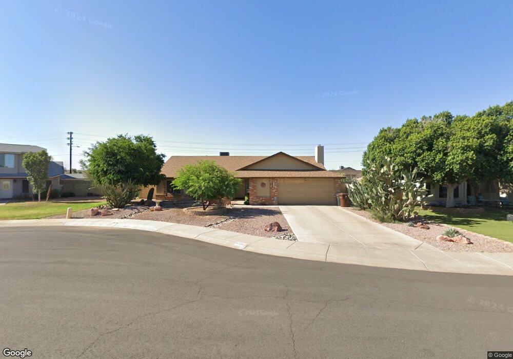
7267 W Wethersfield Rd Peoria, AZ 85381
Estimated Value: $348,328 - $467,000
--
Bed
2
Baths
1,933
Sq Ft
$224/Sq Ft
Est. Value
About This Home
This home is located at 7267 W Wethersfield Rd, Peoria, AZ 85381 and is currently estimated at $432,582, approximately $223 per square foot. 7267 W Wethersfield Rd is a home located in Maricopa County with nearby schools including Oakwood Elementary School, Cactus High School, and Legacy Traditional School - Glendale.
Ownership History
Date
Name
Owned For
Owner Type
Purchase Details
Closed on
Sep 30, 1996
Sold by
Eagleton Robert G and Eagleton Wanda A
Bought by
Parker Douglas L and Parker Debra A
Current Estimated Value
Home Financials for this Owner
Home Financials are based on the most recent Mortgage that was taken out on this home.
Original Mortgage
$126,550
Outstanding Balance
$11,836
Interest Rate
8.3%
Mortgage Type
VA
Estimated Equity
$420,746
Create a Home Valuation Report for This Property
The Home Valuation Report is an in-depth analysis detailing your home's value as well as a comparison with similar homes in the area
Home Values in the Area
Average Home Value in this Area
Purchase History
| Date | Buyer | Sale Price | Title Company |
|---|---|---|---|
| Parker Douglas L | $122,900 | Chicago Title Insurance Co |
Source: Public Records
Mortgage History
| Date | Status | Borrower | Loan Amount |
|---|---|---|---|
| Open | Parker Douglas L | $126,550 |
Source: Public Records
Tax History Compared to Growth
Tax History
| Year | Tax Paid | Tax Assessment Tax Assessment Total Assessment is a certain percentage of the fair market value that is determined by local assessors to be the total taxable value of land and additions on the property. | Land | Improvement |
|---|---|---|---|---|
| 2025 | $1,235 | $16,311 | -- | -- |
| 2024 | $1,251 | $15,535 | -- | -- |
| 2023 | $1,251 | $30,420 | $6,080 | $24,340 |
| 2022 | $1,225 | $23,460 | $4,690 | $18,770 |
| 2021 | $1,311 | $21,500 | $4,300 | $17,200 |
| 2020 | $1,324 | $21,110 | $4,220 | $16,890 |
| 2019 | $1,280 | $18,610 | $3,720 | $14,890 |
| 2018 | $1,238 | $17,350 | $3,470 | $13,880 |
| 2017 | $1,239 | $16,230 | $3,240 | $12,990 |
| 2016 | $1,226 | $15,030 | $3,000 | $12,030 |
| 2015 | $1,144 | $14,930 | $2,980 | $11,950 |
Source: Public Records
Map
Nearby Homes
- 7266 W Cherry Hills Dr
- 7214 W Columbine Dr
- 7220 W Larkspur Dr
- 7233 W Corrine Dr
- 7157 W Cherry Hills Dr
- 7418 W Corrine Dr
- 7126 W Columbine Dr
- 12709 N 72nd Ave
- 7113 W Sunnyside Dr
- 7126 W Jenan Dr
- 7225 W Canterbury Dr
- 7638 W Shaw Butte Dr
- 7243 W Sierra St
- 11640 N 74th Dr
- 7301 W Sweetwater Ave
- 7545 W Jenan Dr
- 6938 W Jenan Dr
- 6914 W Sunnyside Dr Unit 3
- 12677 N 77th Dr
- 7191 W Surrey Ave
- 7273 W Wethersfield Rd
- 7261 W Wethersfield Rd
- 7279 W Wethersfield Rd
- 7268 W Wethersfield Rd
- 7274 W Wethersfield Rd Unit 1
- 7262 W Wethersfield Rd
- 12210 N 72nd Dr
- 12220 N 72nd Dr
- 7290 W Shaw Butte Dr
- 7280 W Wethersfield Rd
- 7282 W Shaw Butte Dr
- 12310 N 72nd Dr
- 7298 W Shaw Butte Dr
- 7267 W Charter Oak Rd
- 7301 W Wethersfield Rd Unit 1
- 7258 W Shaw Butte Dr
- 7273 W Charter Oak Rd
- 7261 W Charter Oak Rd
- 12320 N 72nd Dr
- 7279 W Charter Oak Rd