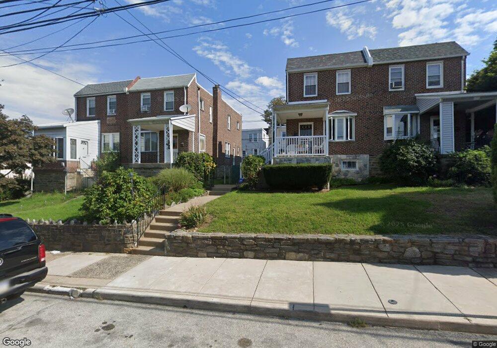
727 Bullock Ave Lansdowne, PA 19050
Estimated Value: $237,000 - $287,000
3
Beds
2
Baths
1,480
Sq Ft
$176/Sq Ft
Est. Value
About This Home
This home is located at 727 Bullock Ave, Lansdowne, PA 19050 and is currently estimated at $260,383, approximately $175 per square foot. 727 Bullock Ave is a home located in Delaware County with nearby schools including Evans Elementary School, Penn Wood Middle School, and Penn Wood High School - Cypress Street Campus.
Ownership History
Date
Name
Owned For
Owner Type
Purchase Details
Closed on
Feb 14, 1995
Sold by
Warrington Winston and Warrington Thora
Bought by
Warrington Thora
Current Estimated Value
Home Financials for this Owner
Home Financials are based on the most recent Mortgage that was taken out on this home.
Original Mortgage
$57,000
Interest Rate
8.89%
Create a Home Valuation Report for This Property
The Home Valuation Report is an in-depth analysis detailing your home's value as well as a comparison with similar homes in the area
Home Values in the Area
Average Home Value in this Area
Purchase History
| Date | Buyer | Sale Price | Title Company |
|---|---|---|---|
| Warrington Thora | -- | -- |
Source: Public Records
Mortgage History
| Date | Status | Borrower | Loan Amount |
|---|---|---|---|
| Closed | Warrington Thora | $57,000 |
Source: Public Records
Tax History Compared to Growth
Tax History
| Year | Tax Paid | Tax Assessment Tax Assessment Total Assessment is a certain percentage of the fair market value that is determined by local assessors to be the total taxable value of land and additions on the property. | Land | Improvement |
|---|---|---|---|---|
| 2025 | $5,110 | $119,660 | $33,310 | $86,350 |
| 2024 | $5,110 | $119,660 | $33,310 | $86,350 |
| 2023 | $4,641 | $119,660 | $33,310 | $86,350 |
| 2022 | $4,425 | $119,660 | $33,310 | $86,350 |
| 2021 | $6,691 | $119,660 | $33,310 | $86,350 |
| 2020 | $5,034 | $80,610 | $19,220 | $61,390 |
| 2019 | $4,946 | $80,610 | $19,220 | $61,390 |
| 2018 | $4,877 | $80,610 | $0 | $0 |
| 2017 | $4,775 | $80,610 | $0 | $0 |
| 2016 | $442 | $80,610 | $0 | $0 |
| 2015 | $442 | $80,610 | $0 | $0 |
| 2014 | $442 | $80,610 | $0 | $0 |
Source: Public Records
Map
Nearby Homes
- 711 Yeadon Ave Unit 1
- 740 Church Ln
- 722 Yeadon Ave
- 702 Cedar Ave
- 800 Bullock Ave
- 813 Arbor Rd
- 825 Laurel Rd
- 808 Serrill Ave
- 1016 Whitby Ave
- 908 Yeadon Ave
- 921 Serrill Ave
- 530 Orchard Ave
- 536 Cypress St
- 939 Serrill Ave
- 503 Bonsall Ave
- 923 Bell Ave
- 435 Bonsall Ave
- 407 Church Ln
- 603 Penn St
- 1049 Yeadon Ave
- 729 Bullock Ave
- 725 Bullock Ave
- 723 Bullock Ave
- 731 Bullock Ave
- 733 Bullock Ave
- 728 Church Ln
- 730 Church Ln
- 724 Church Ln
- 726 Church Ln
- 732 Church Ln
- 734 Church Ln
- 735 Bullock Ave
- 736 Church Ln
- 721 Bullock Ave
- 738 Church Ln
- 724 Church Ln
- 737 Bullock Ave
- 728 Bullock Ave
- 730 Bullock Ave
- 719 Bullock Ave