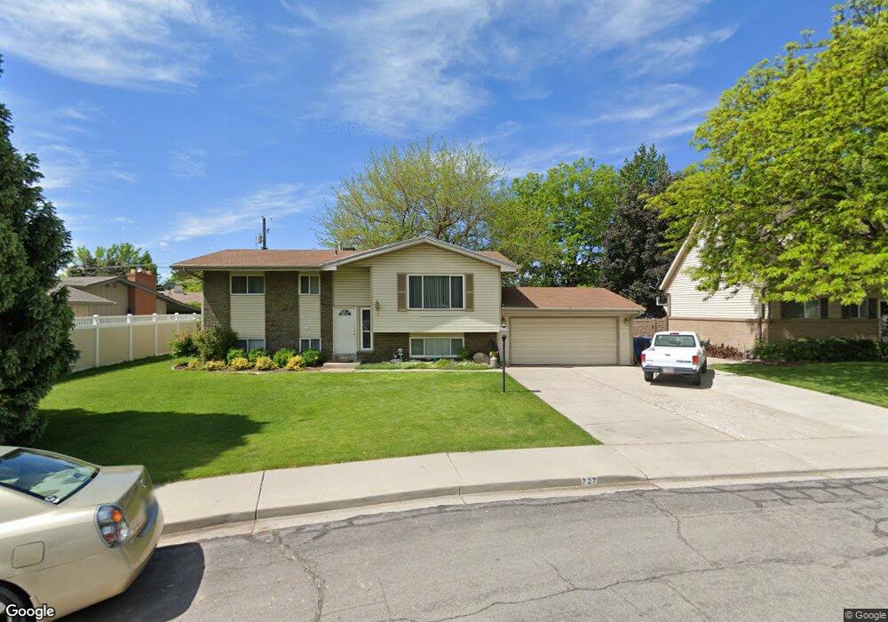
727 Crest Dr Orem, UT 84057
Bonneville NeighborhoodEstimated Value: $492,702 - $510,000
3
Beds
2
Baths
1,180
Sq Ft
$425/Sq Ft
Est. Value
About This Home
This home is located at 727 Crest Dr, Orem, UT 84057 and is currently estimated at $501,901, approximately $425 per square foot. 727 Crest Dr is a home located in Utah County with nearby schools including Bonneville Elementary School, Orem Junior High School, and Timpanogos High School.
Ownership History
Date
Name
Owned For
Owner Type
Purchase Details
Closed on
Jan 25, 2002
Sold by
Hunter Kathie M
Bought by
Hunter Tom A and Hunter Katherine M
Current Estimated Value
Home Financials for this Owner
Home Financials are based on the most recent Mortgage that was taken out on this home.
Original Mortgage
$127,800
Interest Rate
7.17%
Create a Home Valuation Report for This Property
The Home Valuation Report is an in-depth analysis detailing your home's value as well as a comparison with similar homes in the area
Home Values in the Area
Average Home Value in this Area
Purchase History
| Date | Buyer | Sale Price | Title Company |
|---|---|---|---|
| Hunter Tom A | -- | Backman Stewart Title Servic | |
| Hunter Kathie M | -- | Backman Stewart Title Servic |
Source: Public Records
Mortgage History
| Date | Status | Borrower | Loan Amount |
|---|---|---|---|
| Closed | Hunter Kathie M | $127,800 |
Source: Public Records
Tax History
| Year | Tax Paid | Tax Assessment Tax Assessment Total Assessment is a certain percentage of the fair market value that is determined by local assessors to be the total taxable value of land and additions on the property. | Land | Improvement |
|---|---|---|---|---|
| 2025 | $1,889 | $243,925 | -- | -- |
| 2024 | $1,889 | $231,000 | $0 | $0 |
| 2023 | $1,762 | $231,550 | $0 | $0 |
| 2022 | $1,851 | $235,620 | $0 | $0 |
| 2021 | $1,723 | $332,300 | $153,400 | $178,900 |
| 2020 | $1,573 | $298,100 | $122,700 | $175,400 |
| 2019 | $1,446 | $284,900 | $122,700 | $162,200 |
| 2018 | $1,344 | $253,100 | $112,100 | $141,000 |
| 2017 | $1,260 | $127,105 | $0 | $0 |
| 2016 | $1,318 | $122,595 | $0 | $0 |
| 2015 | $1,215 | $106,865 | $0 | $0 |
| 2014 | $1,150 | $100,705 | $0 | $0 |
Source: Public Records
Map
Nearby Homes
- 1123 N 800 W
- 582 W 1300 N
- 1405 N 770 W
- 545 W 1240 N
- 538 W 1120 N
- 531 W 1350 N
- 999 W 1100 N
- 1062 N 1035 W
- 1545 N State St Unit 1
- 1535 N 950 W
- 930 N 980 W
- 1461 N Amiron Way Unit D
- 1461 N Amiron Way Unit B
- 332 W Amiron Way Unit D
- 967 W 1630 N
- 1069 N 1160 W
- 1140 W 950 N Unit D302
- 1140 W 950 N Unit D304
- 1140 W 950 N Unit A401
- 1167 W 1550 N
Your Personal Tour Guide
Ask me questions while you tour the home.