Estimated Value: $461,000 - $500,000
3
Beds
1
Bath
1,056
Sq Ft
$461/Sq Ft
Est. Value
About This Home
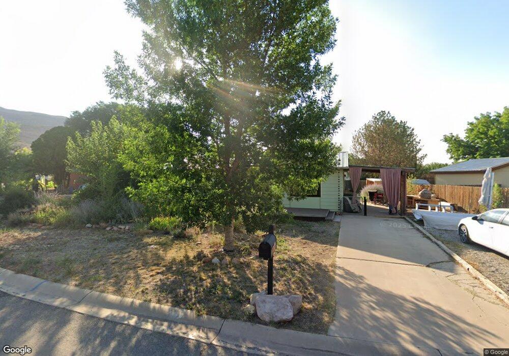
This home is located at 727 Palisade Dr, Moab, UT 84532 and is currently estimated at $487,151, approximately $461 per square foot. 727 Palisade Dr is a home located in Grand County with nearby schools including Helen M. Knight School, Grand County Middle School, and Grand County High School.
Ownership History
Date
Name
Owned For
Owner Type
Purchase Details
Closed on
Sep 17, 2009
Sold by
Just For Fun Llc
Bought by
Johnson Dana M
Current Estimated Value
Home Financials for this Owner
Home Financials are based on the most recent Mortgage that was taken out on this home.
Original Mortgage
$196,377
Outstanding Balance
$126,662
Interest Rate
5.08%
Estimated Equity
$360,489
Create a Home Valuation Report for This Property
The Home Valuation Report is an in-depth analysis detailing your home's value as well as a comparison with similar homes in the area
Home Values in the Area
Average Home Value in this Area
Purchase History
| Date | Buyer | Sale Price | Title Company |
|---|---|---|---|
| Johnson Dana M | -- | -- |
Source: Public Records
Mortgage History
| Date | Status | Borrower | Loan Amount |
|---|---|---|---|
| Open | Johnson Dana M | $196,377 |
Source: Public Records
Tax History
| Year | Tax Paid | Tax Assessment Tax Assessment Total Assessment is a certain percentage of the fair market value that is determined by local assessors to be the total taxable value of land and additions on the property. | Land | Improvement |
|---|---|---|---|---|
| 2025 | $2,599 | $448,353 | $75,000 | $373,353 |
| 2024 | $2,599 | $448,353 | $75,000 | $373,353 |
| 2023 | $2,682 | $399,655 | $75,000 | $324,655 |
| 2022 | $2,256 | $390,199 | $75,000 | $315,199 |
| 2021 | $1,029 | $172,355 | $75,000 | $97,355 |
| 2020 | $1,067 | $172,355 | $75,000 | $97,355 |
| 2019 | $1,007 | $172,355 | $75,000 | $97,355 |
| 2018 | $998 | $172,355 | $75,000 | $97,355 |
| 2017 | $1,034 | $0 | $0 | $0 |
| 2016 | $1,024 | $0 | $0 | $0 |
| 2015 | $861 | $0 | $0 | $0 |
| 2014 | $830 | $0 | $0 | $0 |
| 2013 | -- | $80,269 | $0 | $0 |
Source: Public Records
Map
Nearby Homes
- 827 Palisade Dr
- 527 Palisade Dr
- 491 Marcus Ct
- 671 Palisade Dr
- 1004 N Highway 191 Unit A
- 648 W Hale Ave
- 592 W Hale Ave
- 400 N 500 W Unit 265
- 400 N 500 W Unit 280
- 278 Hobbs St
- 673 W 470 N
- 615 W 470 N
- 911 N Main St
- 429 N 600 W
- 656 W 400 N
- 420 N 600 W
- 360 W Chinle Ave
- 276 N Opal Ave
- 247 W 400 N Unit 1
- 1371 N Highway 191
- 739 Palisade Dr
- 715 Palisade Dr
- 753 Palisade Dr
- 779 Palisade Dr Unit 30-A
- 705 Palisade Dr
- 730 Palisade Dr
- 766 Palisade Dr
- 772 W Palisade Dr
- 718 Palisade Dr
- 826 Palisade Dr
- 826 Palisade Dr Unit 40-A
- 691 Palisade Dr
- 822 Palisade Dr Unit 40-B
- 822 Palisade Dr
- 822 Palisade Dr Unit 40AB
- 706 Palisade Dr
- 844 Colorado St Unit 17-B
- 844 Colorado St
- 809 Palisade Dr Unit 28-B
- 868 Rainbow Dr
Your Personal Tour Guide
Ask me questions while you tour the home.