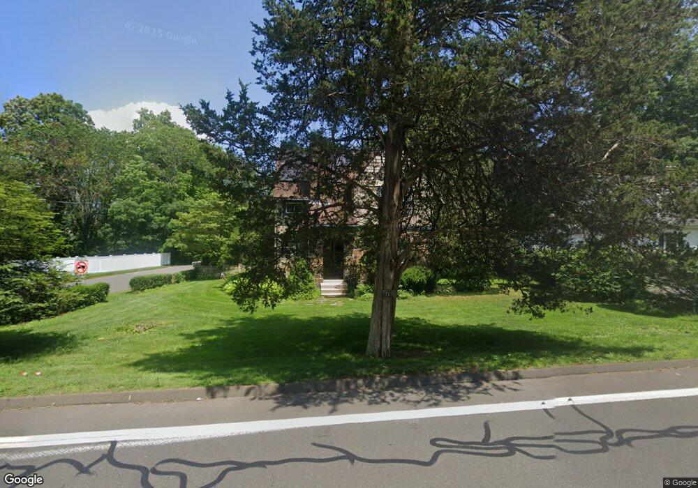
727 Racebrook Rd Orange, CT 06477
Estimated Value: $449,643 - $585,000
3
Beds
2
Baths
1,872
Sq Ft
$279/Sq Ft
Est. Value
About This Home
This home is located at 727 Racebrook Rd, Orange, CT 06477 and is currently estimated at $522,161, approximately $278 per square foot. 727 Racebrook Rd is a home located in New Haven County with nearby schools including Mary L. Tracy School, Race Brook School, and Amity Middle School: Orange.
Ownership History
Date
Name
Owned For
Owner Type
Purchase Details
Closed on
May 23, 1997
Sold by
Shaw David A and Shaw Susan K
Bought by
Mosher Carrie
Current Estimated Value
Purchase Details
Closed on
Apr 22, 1987
Sold by
Pulkowski Ilse
Bought by
Shaw David A
Create a Home Valuation Report for This Property
The Home Valuation Report is an in-depth analysis detailing your home's value as well as a comparison with similar homes in the area
Home Values in the Area
Average Home Value in this Area
Purchase History
| Date | Buyer | Sale Price | Title Company |
|---|---|---|---|
| Mosher Carrie | $183,000 | -- | |
| Mosher Carrie | $183,000 | -- | |
| Shaw David A | $202,000 | -- |
Source: Public Records
Mortgage History
| Date | Status | Borrower | Loan Amount |
|---|---|---|---|
| Open | Shaw David A | $132,300 | |
| Closed | Shaw David A | $80,000 | |
| Closed | Shaw David A | $76,000 |
Source: Public Records
Tax History Compared to Growth
Tax History
| Year | Tax Paid | Tax Assessment Tax Assessment Total Assessment is a certain percentage of the fair market value that is determined by local assessors to be the total taxable value of land and additions on the property. | Land | Improvement |
|---|---|---|---|---|
| 2025 | $6,774 | $232,800 | $115,900 | $116,900 |
| 2024 | $7,217 | $232,800 | $115,900 | $116,900 |
| 2023 | $5,774 | $178,700 | $84,600 | $94,100 |
| 2022 | $5,845 | $178,700 | $84,600 | $94,100 |
| 2021 | $5,942 | $178,700 | $84,600 | $94,100 |
| 2020 | $5,851 | $178,700 | $84,600 | $94,100 |
| 2019 | $5,824 | $178,700 | $84,600 | $94,100 |
| 2018 | $5,718 | $178,700 | $84,600 | $94,100 |
| 2017 | $5,754 | $172,900 | $89,800 | $83,100 |
| 2016 | $5,567 | $172,900 | $89,800 | $83,100 |
| 2015 | $5,429 | $172,900 | $89,800 | $83,100 |
| 2014 | $5,273 | $172,900 | $89,800 | $83,100 |
Source: Public Records
Map
Nearby Homes
- 700 Royal Ln
- 189 Derby Ave
- 691 Buttonball Rd
- 920 Green Cir
- 24 Brierwood Dr
- 1025 Field Dr
- 846 Beechwood Rd
- 47 Sunset Dr
- 235 Sylvan Valley Rd
- 830 Bayberry Ln
- 267 Hyland Terrace
- 424 Racebrook Rd
- 323 Goose Ln Unit 323
- 206 Deerfield Ln Unit 206
- 54 Country Club Dr
- 16 Founders Way
- 7 Ipswich St
- 265 Tuthill St
- 100 Yates St
- 1 East Ct
- 725 Racebrook Rd
- 11 Muirfield Dr
- 735 Racebrook Rd
- 739 Racebrook Rd
- 15 Muirfield Dr
- 26 Muirfield Dr
- 19 Muirfield Dr
- 741 Racebrook Rd
- 17 Woodside Dr
- 23 Muirfield Dr
- 716 Racebrook Rd
- 715 Racebrook Rd
- 29 Muirfield Dr
- 747 Racebrook Rd
- 16 Woodside Dr
- 20 Woodside Dr
- 33 Woodside Dr
- 12 Woodside Dr
- 24 Woodside Dr
- 712 Racebrook Rd