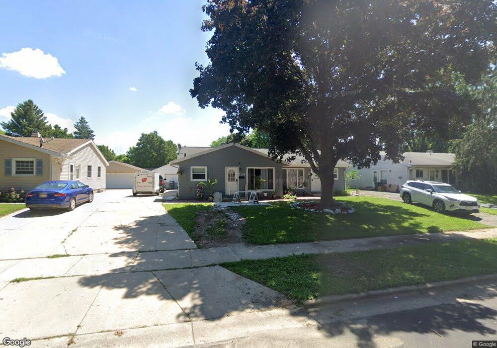
727 Vernon Ave Madison, WI 53714
Rolling Meadows NeighborhoodEstimated Value: $423,000 - $478,000
6
Beds
2
Baths
1,856
Sq Ft
$236/Sq Ft
Est. Value
About This Home
This home is located at 727 Vernon Ave, Madison, WI 53714 and is currently estimated at $437,576, approximately $235 per square foot. 727 Vernon Ave is a home located in Dane County with nearby schools including Kennedy Elementary School, Whitehorse Middle School, and La Follette High School.
Ownership History
Date
Name
Owned For
Owner Type
Purchase Details
Closed on
Nov 23, 2021
Sold by
Stankovsky Jonah and Stankovsky Marie
Bought by
Derodriguez Silvana Julian and De Julian Myriam
Current Estimated Value
Home Financials for this Owner
Home Financials are based on the most recent Mortgage that was taken out on this home.
Original Mortgage
$257,600
Outstanding Balance
$236,534
Interest Rate
3.14%
Mortgage Type
New Conventional
Estimated Equity
$201,042
Purchase Details
Closed on
Nov 6, 2006
Sold by
Schalbe Robert A
Bought by
Munz Doris Annette and Munz Annette
Home Financials for this Owner
Home Financials are based on the most recent Mortgage that was taken out on this home.
Original Mortgage
$155,200
Interest Rate
6.24%
Mortgage Type
New Conventional
Create a Home Valuation Report for This Property
The Home Valuation Report is an in-depth analysis detailing your home's value as well as a comparison with similar homes in the area
Home Values in the Area
Average Home Value in this Area
Purchase History
| Date | Buyer | Sale Price | Title Company |
|---|---|---|---|
| Derodriguez Silvana Julian | $322,000 | None Available | |
| Munz Doris Annette | $194,000 | None Available |
Source: Public Records
Mortgage History
| Date | Status | Borrower | Loan Amount |
|---|---|---|---|
| Open | Derodriguez Silvana Julian | $257,600 | |
| Previous Owner | Munz Doris Annette | $155,200 |
Source: Public Records
Tax History Compared to Growth
Tax History
| Year | Tax Paid | Tax Assessment Tax Assessment Total Assessment is a certain percentage of the fair market value that is determined by local assessors to be the total taxable value of land and additions on the property. | Land | Improvement |
|---|---|---|---|---|
| 2024 | $12,771 | $380,600 | $75,300 | $305,300 |
| 2023 | $5,908 | $346,000 | $68,100 | $277,900 |
| 2021 | $4,616 | $232,800 | $60,900 | $171,900 |
| 2020 | $4,275 | $202,400 | $56,900 | $145,500 |
| 2019 | $4,135 | $196,500 | $55,200 | $141,300 |
| 2018 | $4,159 | $196,500 | $55,200 | $141,300 |
| 2017 | $4,066 | $183,600 | $50,200 | $133,400 |
| 2016 | $4,282 | $183,600 | $50,200 | $133,400 |
| 2015 | $4,240 | $183,600 | $50,200 | $133,400 |
| 2014 | $4,239 | $183,600 | $50,200 | $133,400 |
| 2013 | $4,729 | $183,600 | $50,200 | $133,400 |
Source: Public Records
Map
Nearby Homes
- 4515 Martha Ln
- 4525 Martha Ln
- 4705 Agate Ln
- 711 Merryturn Rd
- 4210 Dempsey Rd
- 506 Bowman Ave
- 4302 Maher Ave
- 3910 Tulane Ave
- 835 Silas St
- 839 Silas St
- 4233 Portland Pkwy
- 4302 Drexel Ave
- 125 Silver Rd
- 1618 Angel Crest Way
- 6 Eldon Ct
- 1214 Bay Ridge Rd
- 3822 Johns St
- 3818 Johns St
- 4310 Hegg Ave
- 1802 Tarragon Dr