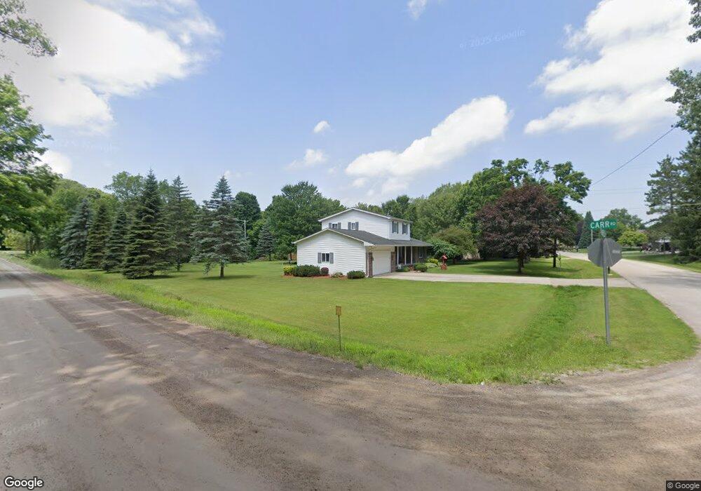
7275 Newport Dr Davison, MI 48423
Estimated Value: $256,000 - $300,000
3
Beds
2
Baths
1,750
Sq Ft
$160/Sq Ft
Est. Value
About This Home
This home is located at 7275 Newport Dr, Davison, MI 48423 and is currently estimated at $279,388, approximately $159 per square foot. 7275 Newport Dr is a home located in Genesee County with nearby schools including Columbiaville Elementary School, Otisville Elementary School, and Lakeville Middle School.
Ownership History
Date
Name
Owned For
Owner Type
Purchase Details
Closed on
Nov 11, 2015
Sold by
Salgat Michael J and Salgat Debra
Bought by
Brown Todd and Brown Christina
Current Estimated Value
Create a Home Valuation Report for This Property
The Home Valuation Report is an in-depth analysis detailing your home's value as well as a comparison with similar homes in the area
Home Values in the Area
Average Home Value in this Area
Purchase History
| Date | Buyer | Sale Price | Title Company |
|---|---|---|---|
| Brown Todd | $139,900 | Lighthouse Title Inc |
Source: Public Records
Tax History Compared to Growth
Tax History
| Year | Tax Paid | Tax Assessment Tax Assessment Total Assessment is a certain percentage of the fair market value that is determined by local assessors to be the total taxable value of land and additions on the property. | Land | Improvement |
|---|---|---|---|---|
| 2025 | $2,890 | $135,100 | $0 | $0 |
| 2024 | $945 | $125,600 | $0 | $0 |
| 2023 | $901 | $110,800 | $0 | $0 |
| 2022 | $2,545 | $95,900 | $0 | $0 |
| 2021 | $2,520 | $85,400 | $0 | $0 |
| 2020 | $824 | $82,600 | $0 | $0 |
| 2019 | $811 | $89,000 | $0 | $0 |
| 2018 | $1,523 | $80,200 | $0 | $0 |
| 2017 | $2,305 | $80,200 | $0 | $0 |
| 2016 | $2,336 | $79,800 | $0 | $0 |
| 2015 | $1,941 | $77,600 | $0 | $0 |
| 2014 | $748 | $74,800 | $0 | $0 |
| 2012 | -- | $59,200 | $59,200 | $0 |
Source: Public Records
Map
Nearby Homes
- 11093 Carr Rd
- 11033 Carr Rd
- 2444 E Stanley Rd
- 12429 Mt Morris Rd
- 5438 N Henderson Rd
- 10287 Frances Rd
- 5346 N Oak Rd
- 9377 Hubbard Rd
- 5416 Sandy Ln
- 2630 Julie Dr
- 11219 Dodge Rd
- 6152 N Gale Rd
- 4438 N Oak Rd
- 9503 Washburn Rd
- 9475 Sandy Hollow Ln Unit 109
- 6096 N Gale Rd
- 9306 Dodge Rd
- 5155 Coldwater Rd
- 3226 German Rd
- 5238 N Gale Rd
- 7305 Newport Dr
- 7286 Newport Dr
- 7300 Newport Dr
- 7325 Newport Dr
- 11339 Carr Rd
- 7318 Newport Dr
- 11273 Carr Rd
- 11340 Breckenridge Dr
- 11355 Carr Rd
- 11352 Breckenridge Dr
- 11364 Breckenridge Dr
- 11374 Breckenridge Dr
- 11367 Carr Rd
- 11384 Breckenridge Dr
- 11315 Breckenridge Dr
- 11307 Breckenridge Dr
- 11389 Carr Rd
- 11325 Breckenridge Dr
- 11335 Breckenridge Dr
- 11345 Breckenridge Dr