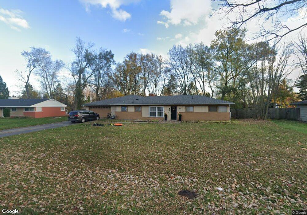
7276 Cottonwood Knoll West Bloomfield, MI 48322
Estimated Value: $363,000 - $423,000
4
Beds
2
Baths
2,265
Sq Ft
$176/Sq Ft
Est. Value
About This Home
This home is located at 7276 Cottonwood Knoll, West Bloomfield, MI 48322 and is currently estimated at $398,806, approximately $176 per square foot. 7276 Cottonwood Knoll is a home located in Oakland County with nearby schools including Wood Creek Elementary School, Warner Upper Elementary School, and Bloomfield Maples Montessori.
Ownership History
Date
Name
Owned For
Owner Type
Purchase Details
Closed on
Jan 20, 2010
Sold by
Abbo Husam and Abbo Suzan
Bought by
Baker Jeffrey
Current Estimated Value
Purchase Details
Closed on
Jul 31, 2003
Sold by
Thayer Christopher W and Thayer Michele S
Bought by
Abbo Husam and Abbo Suzan
Create a Home Valuation Report for This Property
The Home Valuation Report is an in-depth analysis detailing your home's value as well as a comparison with similar homes in the area
Home Values in the Area
Average Home Value in this Area
Purchase History
| Date | Buyer | Sale Price | Title Company |
|---|---|---|---|
| Baker Jeffrey | $137,640 | None Available | |
| Abbo Husam | $193,000 | Metropolitan Title Company |
Source: Public Records
Tax History Compared to Growth
Tax History
| Year | Tax Paid | Tax Assessment Tax Assessment Total Assessment is a certain percentage of the fair market value that is determined by local assessors to be the total taxable value of land and additions on the property. | Land | Improvement |
|---|---|---|---|---|
| 2024 | $2,150 | $176,930 | $0 | $0 |
| 2022 | $2,066 | $156,220 | $50,000 | $106,220 |
| 2021 | $3,533 | $137,960 | $0 | $0 |
| 2020 | $1,937 | $136,710 | $42,550 | $94,160 |
| 2018 | $3,680 | $124,490 | $28,050 | $96,440 |
| 2015 | -- | $92,170 | $0 | $0 |
| 2014 | -- | $86,220 | $0 | $0 |
| 2011 | -- | $75,150 | $0 | $0 |
Source: Public Records
Map
Nearby Homes
- 7251 N Briarcliff Knoll Dr
- 7335 Coach Ln
- 7496 Cornwall Ct
- 30515 W 14 Mile Rd Unit 30
- 30515 W 14 Mile Rd Unit 37
- 30475 W 14 Mile Rd Unit 80
- 30475 W 14 Mile Rd Unit 95
- 7421 Heather Heath
- 7477 Heather Heath
- 7507 Gramercy Cir
- 7477 Gramercy Cir Unit 17
- 7479 Gramercy Cir Unit 16
- 5312 Cambourne Place
- 32615 Briarcrest Knoll
- 30070 Lochmoor St
- 7023 Wild Ridge Ln
- 7209 Stonebrook Rd
- 32411 Tareyton St
- 7027 Beverly Crest Dr
- 29020 Ramblewood Dr
- 7284 Cottonwood Knoll
- 7268 Cottonwood Knoll
- 7388 Cornwall Ct
- 7378 Cornwall Ct
- 7396 Cornwall Ct
- 7271 Cottonwood Knoll
- 7370 Cornwall Ct
- 7300 N Briarcliff Knoll Dr
- 7281 Cottonwood Knoll
- 7251 Cottonwood Knoll
- 7260 Cottonwood Knoll
- 7270 N Briarcliff Knoll Dr
- 7402 Cornwall Ct
- 7346 N Briarcliff Knoll Dr
- 7389 Cornwall Ct
- 7250 Cottonwood Knoll Unit Bldg-Unit
- 7250 Cottonwood Knoll
- 7231 Cottonwood Knoll
- 7375 Cornwall Ct
- 7405 Cornwall Ct