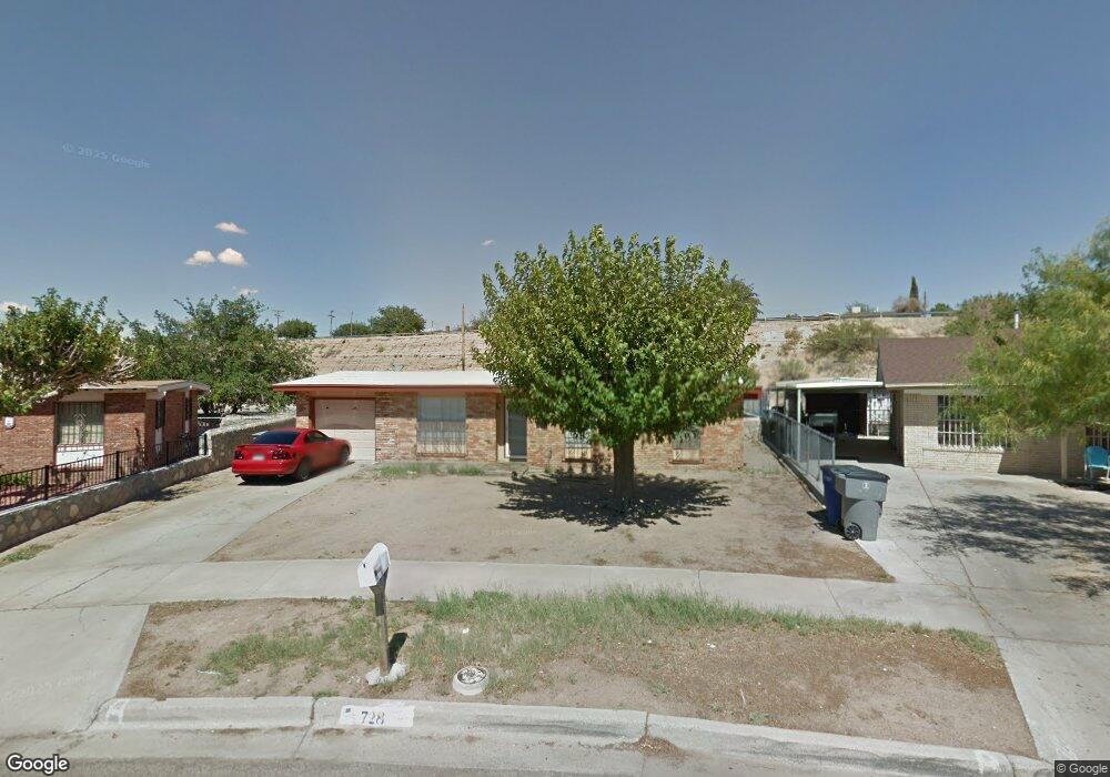
728 Agave Cir El Paso, TX 79907
Williams Park NeighborhoodEstimated Value: $183,000 - $203,000
--
Bed
2
Baths
1,524
Sq Ft
$127/Sq Ft
Est. Value
About This Home
This home is located at 728 Agave Cir, El Paso, TX 79907 and is currently estimated at $193,005, approximately $126 per square foot. 728 Agave Cir is a home located in El Paso County with nearby schools including Loma Terrace Elementary School, Bel Air Middle, and Bel Air High School.
Ownership History
Date
Name
Owned For
Owner Type
Purchase Details
Closed on
Nov 10, 2006
Sold by
Santos Carlos F and Santos Guadalupe
Bought by
Santos Carlos F
Current Estimated Value
Purchase Details
Closed on
Sep 11, 2002
Sold by
Ramirez Laura P
Bought by
Santos Carlos F and Santos Guadalupe
Home Financials for this Owner
Home Financials are based on the most recent Mortgage that was taken out on this home.
Original Mortgage
$41,800
Outstanding Balance
$17,474
Interest Rate
6.25%
Estimated Equity
$175,531
Purchase Details
Closed on
Jul 8, 1998
Sold by
Santos Arturo and Ramirez Laura P
Bought by
Viramontes Rodrigo Santos
Create a Home Valuation Report for This Property
The Home Valuation Report is an in-depth analysis detailing your home's value as well as a comparison with similar homes in the area
Home Values in the Area
Average Home Value in this Area
Purchase History
| Date | Buyer | Sale Price | Title Company |
|---|---|---|---|
| Santos Carlos F | -- | None Available | |
| Santos Carlos F | -- | -- | |
| Viramontes Rodrigo Santos | -- | -- |
Source: Public Records
Mortgage History
| Date | Status | Borrower | Loan Amount |
|---|---|---|---|
| Open | Santos Carlos F | $41,800 |
Source: Public Records
Tax History Compared to Growth
Tax History
| Year | Tax Paid | Tax Assessment Tax Assessment Total Assessment is a certain percentage of the fair market value that is determined by local assessors to be the total taxable value of land and additions on the property. | Land | Improvement |
|---|---|---|---|---|
| 2025 | $2,035 | $151,369 | -- | -- |
| 2024 | $2,035 | $137,608 | -- | -- |
| 2023 | $1,974 | $125,098 | $0 | $0 |
| 2022 | $3,532 | $113,725 | $0 | $0 |
| 2021 | $3,361 | $130,162 | $16,064 | $114,098 |
| 2020 | $2,969 | $93,987 | $16,064 | $77,923 |
| 2018 | $2,886 | $92,808 | $16,064 | $76,744 |
| 2017 | $2,794 | $91,390 | $16,064 | $75,326 |
| 2016 | $2,794 | $91,390 | $16,064 | $75,326 |
| 2015 | $2,061 | $91,390 | $16,064 | $75,326 |
| 2014 | $2,061 | $93,229 | $16,064 | $77,165 |
Source: Public Records
Map
Nearby Homes
- 8181 Staghorn Dr
- 956 Duskin Dr
- 1004 Atwood Dr
- TBD Yermoland Dr
- 8241 Williamette Ave
- 8341 Loma Terrace Rd
- 8280 N Loop Dr
- 491 Borrett St
- 1121 Stanley St
- 8350 Lynn Haven Ave
- TBD Burnham Dr
- 810 Silvestre Rd
- 8508 Euphrates Dr
- 859 Destello Rd
- 837 Destello Rd
- 902 Destello Rd
- 833 Destello Rd
- 8204 Valle Sonata Way
- 824 Destello Rd B Rd
- 8138 Saint Andrew Ln Unit ABCD