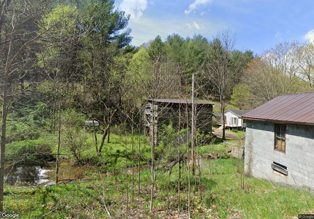
728 Banks Creek Rd Burnsville, NC 28714
Estimated Value: $66,000 - $453,000
3
Beds
1
Bath
1,360
Sq Ft
$207/Sq Ft
Est. Value
About This Home
This home is located at 728 Banks Creek Rd, Burnsville, NC 28714 and is currently estimated at $280,897, approximately $206 per square foot. 728 Banks Creek Rd is a home with nearby schools including Mountain Heritage High School.
Ownership History
Date
Name
Owned For
Owner Type
Purchase Details
Closed on
Sep 26, 2025
Sold by
Chaney Linda Joe
Bought by
Watson Dylan and Romine Kasey
Current Estimated Value
Purchase Details
Closed on
Oct 16, 2023
Sold by
Donald W Dalrymple Jr Revocable Trust
Bought by
Brom Stephen Joseph
Purchase Details
Closed on
Feb 27, 2019
Sold by
Anglin Elizabethm H
Bought by
Chaney Linda and Chaney Rodney
Purchase Details
Closed on
Jul 2, 1998
Bought by
Anglin William A and Anglin Elizabeth
Create a Home Valuation Report for This Property
The Home Valuation Report is an in-depth analysis detailing your home's value as well as a comparison with similar homes in the area
Home Values in the Area
Average Home Value in this Area
Purchase History
| Date | Buyer | Sale Price | Title Company |
|---|---|---|---|
| Watson Dylan | $85,000 | None Listed On Document | |
| Brom Stephen Joseph | $40,000 | None Listed On Document | |
| Chaney Linda | $30,000 | -- | |
| Anglin William A | -- | -- |
Source: Public Records
Tax History Compared to Growth
Tax History
| Year | Tax Paid | Tax Assessment Tax Assessment Total Assessment is a certain percentage of the fair market value that is determined by local assessors to be the total taxable value of land and additions on the property. | Land | Improvement |
|---|---|---|---|---|
| 2025 | $584 | $104,300 | $78,300 | $26,000 |
| 2024 | $584 | $104,300 | $78,300 | $26,000 |
| 2023 | $415 | $64,850 | $30,000 | $34,850 |
| 2022 | $407 | $64,850 | $30,000 | $34,850 |
| 2021 | $415 | $64,850 | $30,000 | $34,850 |
| 2020 | $415 | $64,850 | $30,000 | $34,850 |
| 2019 | $825 | $128,950 | $94,100 | $34,850 |
| 2018 | $825 | $128,950 | $94,100 | $34,850 |
| 2017 | $825 | $128,950 | $94,100 | $34,850 |
| 2016 | $825 | $128,950 | $94,100 | $34,850 |
| 2015 | $1,031 | $190,850 | $156,000 | $34,850 |
| 2014 | $1,031 | $190,850 | $156,000 | $34,850 |
Source: Public Records
Map
Nearby Homes
- 71 Banks Creek Rd
- TBD Banks Creek Rd
- 00 Prices Creek Rd
- 456 Maney Branch Rd
- 000 Maney Branch Rd
- 456 & 000 Maney Branch Rd
- 300 Dogwood Ln
- 124 W Dogwood Cir
- 000 Mountain Air Dr
- 124 Shootout Ln
- 00 Riverside Hills Rd Unit 9
- LOT 13 Austin Mountain Dr Unit 13/3
- 456 Spring House Dr
- 9999 River Edge Dr Unit 2
- 222 Creekside Way Unit D-101
- 222 Creekside Way Unit D-102
- 47 Creekside Way Unit H/102
- 47 Creekside Way Unit H/301
- 81 River Look Dr
- 117 River Look Dr
- 771 Banks Creek Rd
- 11 Truckers Ln
- 925 Banks Creek Rd
- 531 Banks Creek Rd
- 73 Will Anglin Rd
- 27 Cottonwood Rd
- 88 Cottonwood Rd
- 28 Silver Maple Ln
- 234 Truckers Ln
- 115 Tranquility Dr
- 174 Will Anglin Rd
- 188 Truckers Ln
- 952 Banks Creek Rd
- 96 Silver Maple Ln
- 404 Banks Creek Rd
- 311 Banks Creek Rd Unit 3
- 340 Tranquility Dr
- 00 Will Anglin Rd
- 133 Husky Ln
- 379 Banks Creek Rd