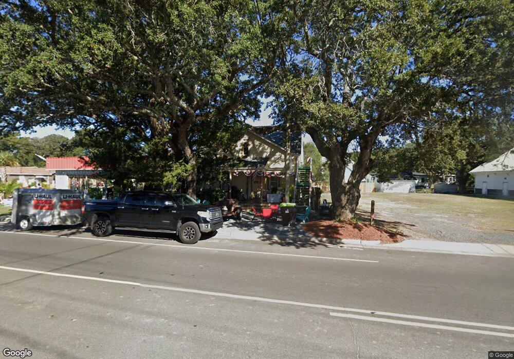
728 N Howe St Unit 1 Southport, NC 28461
Estimated Value: $340,553 - $591,000
4
Beds
2
Baths
1,676
Sq Ft
$258/Sq Ft
Est. Value
About This Home
This home is located at 728 N Howe St Unit 1, Southport, NC 28461 and is currently estimated at $431,888, approximately $257 per square foot. 728 N Howe St Unit 1 is a home located in Brunswick County with nearby schools including Southport Elementary School, South Brunswick Middle School, and South Brunswick High School.
Ownership History
Date
Name
Owned For
Owner Type
Purchase Details
Closed on
Nov 6, 2020
Sold by
Dang Hanh M and Tomcho Ronald
Bought by
Tilyard Richard Sterling and Templeton Amy Bryant
Current Estimated Value
Home Financials for this Owner
Home Financials are based on the most recent Mortgage that was taken out on this home.
Original Mortgage
$175,200
Interest Rate
2.71%
Mortgage Type
Commercial
Purchase Details
Closed on
Jul 1, 1997
Bought by
Dang Hanh M
Create a Home Valuation Report for This Property
The Home Valuation Report is an in-depth analysis detailing your home's value as well as a comparison with similar homes in the area
Home Values in the Area
Average Home Value in this Area
Purchase History
| Date | Buyer | Sale Price | Title Company |
|---|---|---|---|
| Tilyard Richard Sterling | $219,000 | None Available | |
| Dang Hanh M | $40,000 | -- |
Source: Public Records
Mortgage History
| Date | Status | Borrower | Loan Amount |
|---|---|---|---|
| Previous Owner | Tilyard Richard Sterling | $175,200 |
Source: Public Records
Tax History Compared to Growth
Tax History
| Year | Tax Paid | Tax Assessment Tax Assessment Total Assessment is a certain percentage of the fair market value that is determined by local assessors to be the total taxable value of land and additions on the property. | Land | Improvement |
|---|---|---|---|---|
| 2025 | $1,757 | $224,990 | $84,910 | $140,080 |
| 2024 | $1,757 | $224,990 | $84,910 | $140,080 |
| 2023 | $1,562 | $224,990 | $84,910 | $140,080 |
| 2022 | $1,562 | $147,960 | $90,390 | $57,570 |
| 2021 | $1,352 | $147,960 | $90,390 | $57,570 |
| 2020 | $1,352 | $147,960 | $90,390 | $57,570 |
| 2019 | $1,352 | $90,390 | $90,390 | $0 |
| 2018 | $908 | $93,850 | $55,840 | $38,010 |
| 2017 | $895 | $55,840 | $55,840 | $0 |
| 2016 | $823 | $55,840 | $55,840 | $0 |
| 2015 | $823 | $93,850 | $55,840 | $38,010 |
| 2014 | $844 | $102,160 | $62,040 | $40,120 |
Source: Public Records
Map
Nearby Homes
- 716 N Atlantic Ave
- Lot 5a N Caswell Ave
- 826 N Caswell Ave
- 27 Lots N Caswell Ave
- 205 W Leonard St
- 520 Clarendon Ave
- 403 N Howe St
- 610 N Fodale Ave
- 213 E 11th St
- 607 Burrington Ave
- Tr-1 Hankinsville
- Lot 5b Hankinsville Rd
- 311 College St
- Tr-2 W 9th St
- 1676 N Howe St
- 742 Skipjack Cir
- 210 W West St
- 2020 Oakton Dr Unit 14
- 304 W 11th St
- 2028 Oakton Dr
- 728 N Howe St Unit 1 & 2
- 724 N Howe St Unit 2
- 724 N Howe St Unit L-A
- 724 N Howe St Unit LOT A
- 724 N Howe St Unit LOT
- 724 N Howe St
- 721 N Atlantic Ave
- 719 N Atlantic Ave
- 717 N Atlantic Ave
- 716 N Howe St
- 702 N Howe St
- 715 N Atlantic Ave
- 804 N Howe St
- 801 N Atlantic Ave
- 711 N Atlantic Ave
- 806 N Howe St
- 806 N Howe St Unit 1
- 708 N Howe St
- 719 N Howe St
- 718 N Atlantic Ave