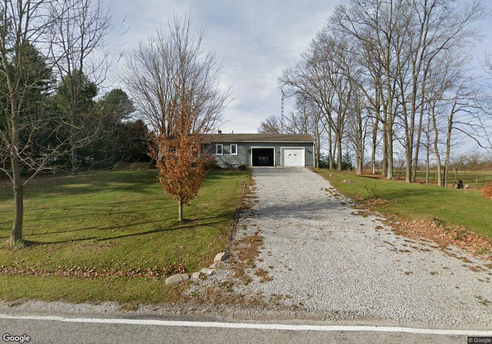
728 S Horning Rd Mansfield, OH 44903
Estimated Value: $163,000 - $209,000
3
Beds
1
Bath
1,284
Sq Ft
$142/Sq Ft
Est. Value
About This Home
This home is located at 728 S Horning Rd, Mansfield, OH 44903 and is currently estimated at $182,524, approximately $142 per square foot. 728 S Horning Rd is a home located in Richland County with nearby schools including Stingel Elementary School, Ontario Middle School, and Ontario High School.
Ownership History
Date
Name
Owned For
Owner Type
Purchase Details
Closed on
Jan 27, 1995
Sold by
Jones Robert D
Bought by
Palmateer John L and Palmateer Shirley
Current Estimated Value
Home Financials for this Owner
Home Financials are based on the most recent Mortgage that was taken out on this home.
Original Mortgage
$51,300
Interest Rate
9.28%
Mortgage Type
New Conventional
Purchase Details
Closed on
May 1, 1985
Create a Home Valuation Report for This Property
The Home Valuation Report is an in-depth analysis detailing your home's value as well as a comparison with similar homes in the area
Purchase History
| Date | Buyer | Sale Price | Title Company |
|---|---|---|---|
| Palmateer John L | $57,000 | -- | |
| -- | $27,500 | -- |
Source: Public Records
Mortgage History
| Date | Status | Borrower | Loan Amount |
|---|---|---|---|
| Closed | Palmateer John L | $51,300 |
Source: Public Records
Tax History Compared to Growth
Tax History
| Year | Tax Paid | Tax Assessment Tax Assessment Total Assessment is a certain percentage of the fair market value that is determined by local assessors to be the total taxable value of land and additions on the property. | Land | Improvement |
|---|---|---|---|---|
| 2024 | $928 | $34,050 | $7,960 | $26,090 |
| 2023 | $928 | $34,050 | $7,960 | $26,090 |
| 2022 | $950 | $28,700 | $7,490 | $21,210 |
| 2021 | $969 | $28,700 | $7,490 | $21,210 |
| 2020 | $1,017 | $28,700 | $7,490 | $21,210 |
| 2019 | $1,285 | $24,340 | $6,350 | $17,990 |
| 2018 | $1,273 | $24,340 | $6,350 | $17,990 |
| 2017 | $1,285 | $24,340 | $6,350 | $17,990 |
| 2016 | $1,262 | $24,290 | $5,820 | $18,470 |
| 2015 | $1,262 | $24,290 | $5,820 | $18,470 |
| 2014 | $1,271 | $24,290 | $5,820 | $18,470 |
| 2012 | $621 | $25,040 | $6,000 | $19,040 |
Source: Public Records
Map
Nearby Homes
- 847 S Horning Rd
- 855 Bowers Rd
- 7865 Anker Dr
- 3880 Horizon Dr
- 4051 State Route Ave W
- 1122 State Route 61
- 7775 Millsboro Rd
- 1342 State Route 61
- 715 Cedar Mill Dr
- 0 Rudy Rd
- 3516 Muirfield
- 3516 Muirfield Dr
- 56 Lexington Ontario Rd
- 7610 State Route 309
- 8 Lexington Ontario Rd
- 15 Lexington Ontario Rd
- 9526 State Route 314
- 5263 Lincoln Hwy
- 0.2 Bibich Ct
- 0.3 Bibich Ct
- 717 S Horning Rd
- 754 S Horning Rd
- 756 S Horning Rd
- 735 S Horning Rd
- 774 S Horning Rd
- 759 S Horning Rd
- 773 S Horning Rd
- 672 S Horning Rd
- 672 S Horning Rd
- 779 S Horning Rd
- 796 S Horning Rd
- 815 S Horning Rd
- 865 S Horning Rd
- 898 S Horning Rd
- 881 S Horning Rd
- 881 S Horning Rd
- 540 S Horning Rd
- 915 S Horning Rd
- 920 S Horning Rd
- 943 S Horning Rd