728 S Mobile St Fairhope, AL 36532
Point Clear NeighborhoodEstimated Value: $798,000 - $1,750,000
4
Beds
2
Baths
1,944
Sq Ft
$681/Sq Ft
Est. Value
About This Home
This home is located at 728 S Mobile St, Fairhope, AL 36532 and is currently estimated at $1,323,633, approximately $680 per square foot. 728 S Mobile St is a home located in Baldwin County with nearby schools including Fairhope West Elementary School, Fairhope Middle School, and Fairhope High School.
Ownership History
Date
Name
Owned For
Owner Type
Purchase Details
Closed on
Sep 1, 2016
Sold by
Sawyer Asheton B and Middleton Gordon S
Bought by
Sawyer Asheton B and Sawyer Deborah L
Current Estimated Value
Home Financials for this Owner
Home Financials are based on the most recent Mortgage that was taken out on this home.
Original Mortgage
$650,000
Interest Rate
3.45%
Mortgage Type
Credit Line Revolving
Create a Home Valuation Report for This Property
The Home Valuation Report is an in-depth analysis detailing your home's value as well as a comparison with similar homes in the area
Home Values in the Area
Average Home Value in this Area
Purchase History
| Date | Buyer | Sale Price | Title Company |
|---|---|---|---|
| Sawyer Asheton B | $1,355,000 | None Available |
Source: Public Records
Mortgage History
| Date | Status | Borrower | Loan Amount |
|---|---|---|---|
| Closed | Sawyer Asheton B | $650,000 |
Source: Public Records
Tax History Compared to Growth
Tax History
| Year | Tax Paid | Tax Assessment Tax Assessment Total Assessment is a certain percentage of the fair market value that is determined by local assessors to be the total taxable value of land and additions on the property. | Land | Improvement |
|---|---|---|---|---|
| 2024 | $3,947 | $159,340 | $127,320 | $32,020 |
| 2023 | $3,937 | $159,340 | $127,320 | $32,020 |
| 2022 | $3,937 | $187,460 | $0 | $0 |
| 2021 | $3,937 | $176,260 | $0 | $0 |
| 2020 | $3,937 | $170,620 | $0 | $0 |
| 2019 | $3,459 | $175,820 | $0 | $0 |
| 2018 | $3,459 | $159,340 | $0 | $0 |
| 2017 | $3,405 | $157,060 | $0 | $0 |
| 2016 | $188 | $146,080 | $0 | $0 |
| 2015 | -- | $144,360 | $0 | $0 |
| 2014 | -- | $144,360 | $0 | $0 |
| 2013 | -- | $144,360 | $0 | $0 |
Source: Public Records
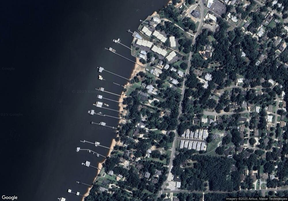
Map
Nearby Homes
- 6009 Rutherford Ln Unit 4
- 40 Bay Pointe Ct
- 4 Molokai Ln
- 3 Molokai Ln
- 710 S Mobile St Unit 2
- 710 S Mobile St Unit 16
- 710 S Mobile St Unit 21
- 710 S Mobile St Unit 59
- 710 S Mobile St Unit 52
- 710 S Mobile St Unit 50
- 710 S Mobile St Unit 11
- 710 S Mobile St Unit 5
- 29 Paddock Dr
- 555 S Mobile St Unit 3
- 0 Fig Ave Unit 1/24 379134
- 462 Satsuma St
- 119 Orange Ave
- 0 S Mobile St Unit 2 381294
- 152 Pinecrest Ln
- 403 S Mobile St
- 730 S Mobile St
- 722 S Mobile St
- 736 S Mobile St
- 720 S Mobile St
- 738 S Mobile St
- 718 S Mobile St
- 732 S Mobile St
- 742 S Mobile St
- 716 S Mobile St
- 716 S Mobile St
- 6001 Rutherford Ln
- 6017 Rutherford Ln
- 5986 Rutherford Ln
- 6017 Rutherford Ln Unit 2
- 5990 Rutherford Ln
- 6009 Rutherford Ln
- 0 Rutherford Ln Unit 242023
- 0 Rutherford Ln Unit 535308
- 0 Rutherford Ln Unit 241107
- 746 S Mobile St