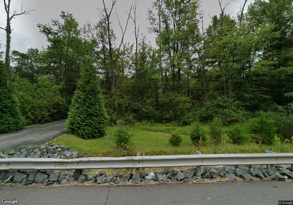
728 State Route 12 Flemington, NJ 08822
Franklin NeighborhoodEstimated Value: $331,000 - $484,000
--
Bed
--
Bath
1,107
Sq Ft
$379/Sq Ft
Est. Value
About This Home
This home is located at 728 State Route 12, Flemington, NJ 08822 and is currently estimated at $420,091, approximately $379 per square foot. 728 State Route 12 is a home located in Hunterdon County with nearby schools including Franklin Township School and North Hunterdon High School.
Ownership History
Date
Name
Owned For
Owner Type
Purchase Details
Closed on
Apr 27, 2016
Sold by
Mironchik Mary
Bought by
Quiroz Jose Carmen and Quiroz Lidia
Current Estimated Value
Home Financials for this Owner
Home Financials are based on the most recent Mortgage that was taken out on this home.
Original Mortgage
$128,000
Outstanding Balance
$102,063
Interest Rate
3.71%
Mortgage Type
New Conventional
Estimated Equity
$318,028
Create a Home Valuation Report for This Property
The Home Valuation Report is an in-depth analysis detailing your home's value as well as a comparison with similar homes in the area
Home Values in the Area
Average Home Value in this Area
Purchase History
| Date | Buyer | Sale Price | Title Company |
|---|---|---|---|
| Quiroz Jose Carmen | $160,000 | Weichert Title Agency |
Source: Public Records
Mortgage History
| Date | Status | Borrower | Loan Amount |
|---|---|---|---|
| Open | Quiroz Jose Carmen | $128,000 |
Source: Public Records
Tax History Compared to Growth
Tax History
| Year | Tax Paid | Tax Assessment Tax Assessment Total Assessment is a certain percentage of the fair market value that is determined by local assessors to be the total taxable value of land and additions on the property. | Land | Improvement |
|---|---|---|---|---|
| 2025 | $7,338 | $244,100 | $135,800 | $108,300 |
| 2024 | $6,937 | $244,100 | $135,800 | $108,300 |
| 2023 | $6,937 | $244,100 | $135,800 | $108,300 |
| 2022 | $6,893 | $244,100 | $135,800 | $108,300 |
| 2021 | $6,498 | $244,100 | $135,800 | $108,300 |
| 2020 | $6,679 | $244,100 | $135,800 | $108,300 |
| 2019 | $6,744 | $244,100 | $135,800 | $108,300 |
| 2018 | $6,369 | $244,100 | $135,800 | $108,300 |
| 2017 | $6,247 | $244,100 | $135,800 | $108,300 |
| 2016 | $6,068 | $244,100 | $135,800 | $108,300 |
| 2015 | $5,551 | $244,100 | $135,800 | $108,300 |
| 2014 | $5,926 | $244,100 | $135,800 | $108,300 |
Source: Public Records
Map
Nearby Homes
- 678 State Route 12
- 719 Pittstown Rd
- 550 Barbertown Point Breeze Rd
- 115 Lower Oak Grove Rd
- 144 Lower Oak Grove Rd
- 175 Lower Oak Grove Rd
- 584 Oak Grove Rd
- 56 Old Route12
- 37 Barbertown Point Breeze Rd
- 150 Oak Grove Rd
- 168 Locktown Sergeantsville Rd
- 364 Oak Grove Rd
- 181 Old Croton Rd
- 153 Hammar Rd
- 171 Old Croton Rd
- 2 Shrope Ln
- 617 County Road 579
- 147 Hammar Rd
- 554-560 Oak Grove Rd
- 92 Oak Grove Rd
- 678 New Jersey 12 Unit 3
- 676 State Route 12
- 676 State Route 12
- 674 State Route 12
- 729 State Route 12
- 721 State Route 12
- 721 Highway 12
- 730 State Route 12
- 670 State Route 12
- 731 State Route 12
- 685 Highway 12 Unit 2
- 662 New Jersey 12
- 662 State Route 12
- 732 State Route 12
- 656 New Jersey 12 Unit 4
- 656 New Jersey 12 Unit 5
- 683 State Route 12
- 683 Highway 12
- 725 State Route 12
- 0 Route 12 Unit 3268952
