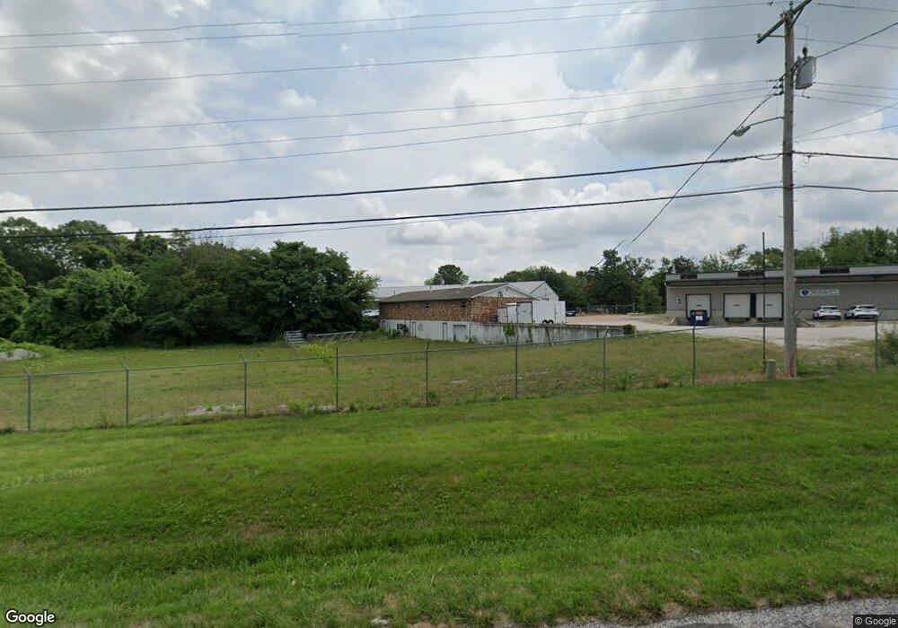
7280 Old State Route 21 Barnhart, MO 63012
--
Bed
1
Bath
122,839
Sq Ft
2.8
Acres
About This Home
This home is located at 7280 Old State Route 21, Barnhart, MO 63012. 7280 Old State Route 21 is a home located in Jefferson County with nearby schools including Antonia Elementary School, Antonia Middle School, and Seckman Senior High School.
Ownership History
Date
Name
Owned For
Owner Type
Purchase Details
Closed on
Apr 13, 2021
Sold by
Tw Lumber Llc
Bought by
Nolan Lester Wayne and Nolan Melba G
Purchase Details
Closed on
Apr 1, 2013
Sold by
Stires Farm And Timber Llc
Bought by
Second Sight Systems Llc
Home Financials for this Owner
Home Financials are based on the most recent Mortgage that was taken out on this home.
Original Mortgage
$596,000
Interest Rate
3.59%
Mortgage Type
Future Advance Clause Open End Mortgage
Purchase Details
Closed on
Apr 15, 2011
Sold by
Fire Chief Inc
Bought by
Stires Farm & Timber Llc
Purchase Details
Closed on
Apr 28, 2010
Sold by
Larran Inc
Bought by
Fire Chief Inc
Purchase Details
Closed on
Jan 30, 2009
Sold by
Jacks Lumber Incorporated
Bought by
Larran Inc and Victorian Sales
Home Financials for this Owner
Home Financials are based on the most recent Mortgage that was taken out on this home.
Original Mortgage
$200,000
Interest Rate
5.17%
Mortgage Type
Commercial
Create a Home Valuation Report for This Property
The Home Valuation Report is an in-depth analysis detailing your home's value as well as a comparison with similar homes in the area
Home Values in the Area
Average Home Value in this Area
Purchase History
| Date | Buyer | Sale Price | Title Company |
|---|---|---|---|
| Nolan Lester Wayne | -- | Investors Title Company | |
| Second Sight Systems Llc | -- | None Available | |
| Stires Farm & Timber Llc | -- | Sec | |
| Fire Chief Inc | -- | Security Title | |
| Larran Inc | -- | Investors Title Co |
Source: Public Records
Mortgage History
| Date | Status | Borrower | Loan Amount |
|---|---|---|---|
| Previous Owner | Second Sight Systems Llc | $596,000 | |
| Previous Owner | Larran Inc | $200,000 |
Source: Public Records
Tax History Compared to Growth
Tax History
| Year | Tax Paid | Tax Assessment Tax Assessment Total Assessment is a certain percentage of the fair market value that is determined by local assessors to be the total taxable value of land and additions on the property. | Land | Improvement |
|---|---|---|---|---|
| 2025 | $10,055 | $162,100 | $59,000 | $103,100 |
| 2024 | $10,055 | $142,600 | $59,000 | $83,600 |
| 2023 | $10,055 | $142,600 | $59,000 | $83,600 |
| 2022 | $10,046 | $142,600 | $59,000 | $83,600 |
| 2021 | $10,050 | $142,600 | $59,000 | $83,600 |
| 2020 | $10,730 | $142,600 | $59,000 | $83,600 |
| 2019 | $10,724 | $142,600 | $59,000 | $83,600 |
| 2018 | $9,163 | $122,900 | $39,300 | $83,600 |
| 2017 | $8,865 | $122,900 | $39,300 | $83,600 |
| 2016 | $8,875 | $122,900 | $39,300 | $83,600 |
| 2015 | $8,885 | $122,900 | $39,300 | $83,600 |
| 2013 | -- | $122,900 | $39,300 | $83,600 |
Source: Public Records
Map
Nearby Homes
- 7577 Sheppard Dr
- 4598 Schenk Rd
- 0 Wooded Acres
- 4844 Walmar Rd
- 6748 Old State Route 21
- 3544 Antonia Woods Dr
- 4323 Old Trail
- 112 Dale Dr
- 1 Tower Rd
- 6606 Old Lemay Ferry Rd
- 6420 Glennsway Dr
- 3897 Upper Moss Hollow Rd
- 3456 Wedde Rd
- 0 Wedde Rd
- Amanda Plan at Antonia Estates
- Kayla Plan at Antonia Estates
- Marylyn Plan at Antonia Estates
- Madison Plan at Antonia Estates
- Julieann Plan at Antonia Estates
- Blake Plan at Antonia Estates
- 7280 Old State Route 21
- 7388 Sunridge Dr
- 7390 Sunridge Dr
- 7396 Sunridge Dr
- 7380 Sunridge Dr
- 7277 Old State Route 21
- 7291 Old State Route 21
- 7271 Old State Route 21
- 7302 Old State Route 21
- 7251 Old State Route 21
- 7299 Old State Route 21
- 7360 Sunridge Dr
- 7327 Sunridge Dr
- 7316 Old State Route 21
- 7326 Sunridge Dr
- 7334 Old State Route 21
- 7340 Old State Route 21
- 7401 Habel Rd
- 7346 Old State Route 21
- 7407 Habel Rd