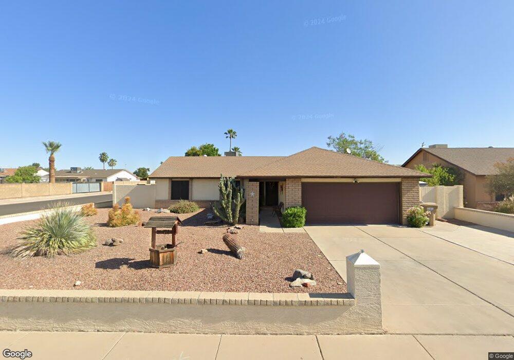
7280 W Charter Oak Rd Peoria, AZ 85381
Estimated Value: $319,247 - $419,000
3
Beds
2
Baths
1,506
Sq Ft
$252/Sq Ft
Est. Value
About This Home
This home is located at 7280 W Charter Oak Rd, Peoria, AZ 85381 and is currently estimated at $379,562, approximately $252 per square foot. 7280 W Charter Oak Rd is a home located in Maricopa County with nearby schools including Oakwood Elementary School, Cactus High School, and Legacy Traditional School - Glendale.
Ownership History
Date
Name
Owned For
Owner Type
Purchase Details
Closed on
Jul 10, 2025
Sold by
Jungwirth Margaret Susan
Bought by
Margaret S Jungwirth Revocable Living Trust and Jungwirth
Current Estimated Value
Purchase Details
Closed on
Mar 31, 2008
Sold by
Jungwirth John Peter
Bought by
Jungwirth Margaret Susan
Purchase Details
Closed on
Oct 16, 2003
Sold by
Oliver Baron L and Oliver Micka M
Bought by
Jungwirth John P and Jungwirth Margaret S
Create a Home Valuation Report for This Property
The Home Valuation Report is an in-depth analysis detailing your home's value as well as a comparison with similar homes in the area
Home Values in the Area
Average Home Value in this Area
Purchase History
| Date | Buyer | Sale Price | Title Company |
|---|---|---|---|
| Margaret S Jungwirth Revocable Living Trust | -- | None Listed On Document | |
| Jungwirth Margaret Susan | -- | None Available | |
| Jungwirth John P | $125,000 | First American Title Ins Co |
Source: Public Records
Tax History Compared to Growth
Tax History
| Year | Tax Paid | Tax Assessment Tax Assessment Total Assessment is a certain percentage of the fair market value that is determined by local assessors to be the total taxable value of land and additions on the property. | Land | Improvement |
|---|---|---|---|---|
| 2025 | $1,111 | $14,675 | -- | -- |
| 2024 | $1,125 | $13,976 | -- | -- |
| 2023 | $1,125 | $28,760 | $5,750 | $23,010 |
| 2022 | $1,102 | $22,230 | $4,440 | $17,790 |
| 2021 | $1,179 | $20,300 | $4,060 | $16,240 |
| 2020 | $1,191 | $19,750 | $3,950 | $15,800 |
| 2019 | $1,152 | $17,130 | $3,420 | $13,710 |
| 2018 | $1,114 | $15,830 | $3,160 | $12,670 |
| 2017 | $1,114 | $14,500 | $2,900 | $11,600 |
| 2016 | $1,103 | $13,470 | $2,690 | $10,780 |
| 2015 | $1,029 | $12,800 | $2,560 | $10,240 |
Source: Public Records
Map
Nearby Homes
- 7214 W Columbine Dr
- 7220 W Larkspur Dr
- 7266 W Cherry Hills Dr
- 7233 W Corrine Dr
- 7418 W Corrine Dr
- 7126 W Columbine Dr
- 7157 W Cherry Hills Dr
- 12709 N 72nd Ave
- 7638 W Shaw Butte Dr
- 7126 W Jenan Dr
- 7113 W Sunnyside Dr
- 7225 W Canterbury Dr
- 7301 W Sweetwater Ave
- 11640 N 74th Dr
- 7243 W Sierra St
- 7545 W Jenan Dr
- 12677 N 77th Dr
- 6938 W Jenan Dr
- 7191 W Surrey Ave
- 7537 W Dreyfus Dr
- 7274 W Charter Oak Rd
- 7279 W Bloomfield Rd Unit 1
- 7302 W Charter Oak Rd
- 7273 W Bloomfield Rd
- 7268 W Charter Oak Rd
- 7279 W Charter Oak Rd
- 7273 W Charter Oak Rd
- 7301 W Bloomfield Rd
- 7267 W Bloomfield Rd
- 7308 W Charter Oak Rd
- 7301 W Charter Oak Rd
- 7267 W Charter Oak Rd
- 7262 W Charter Oak Rd
- 7307 W Bloomfield Rd
- 7261 W Bloomfield Rd
- 7307 W Charter Oak Rd
- 7280 W Wethersfield Rd
- 7274 W Bloomfield Rd
- 7274 W Wethersfield Rd Unit 1