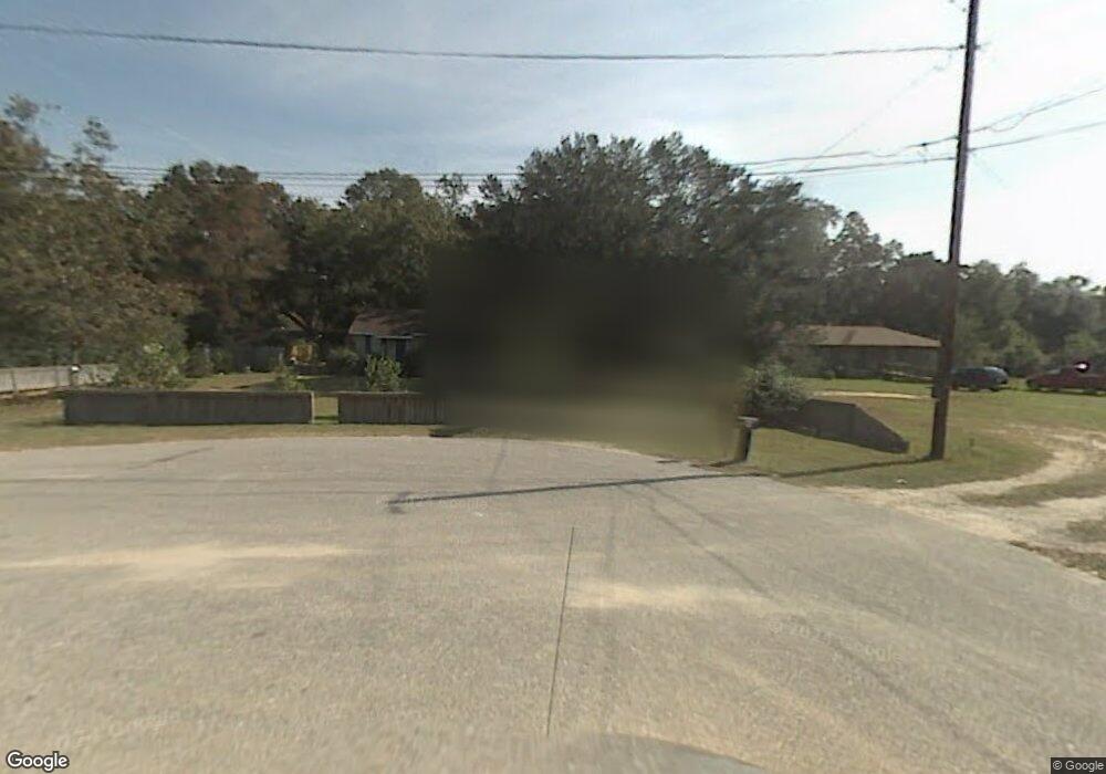
7283 Congo Rd Theodore, AL 36582
Belmont Lake Estates NeighborhoodEstimated Value: $90,401 - $149,000
3
Beds
1
Bath
900
Sq Ft
$139/Sq Ft
Est. Value
About This Home
This home is located at 7283 Congo Rd, Theodore, AL 36582 and is currently estimated at $125,100, approximately $139 per square foot. 7283 Congo Rd is a home located in Mobile County with nearby schools including Nan Gray Davis Elementary School, Katherine H Hankins Middle School, and Theodore High School.
Ownership History
Date
Name
Owned For
Owner Type
Purchase Details
Closed on
Sep 3, 2015
Sold by
Mcleod Gwendolyn Kaye
Bought by
Mcllwain Tiffany and Mcllwain Johnathan
Current Estimated Value
Home Financials for this Owner
Home Financials are based on the most recent Mortgage that was taken out on this home.
Original Mortgage
$32,000
Outstanding Balance
$12,236
Interest Rate
3.94%
Mortgage Type
Unknown
Estimated Equity
$112,864
Purchase Details
Closed on
Sep 23, 1998
Sold by
Jones Phillip M and Jones Beverly J
Bought by
Turner Ransom Edward
Create a Home Valuation Report for This Property
The Home Valuation Report is an in-depth analysis detailing your home's value as well as a comparison with similar homes in the area
Home Values in the Area
Average Home Value in this Area
Purchase History
| Date | Buyer | Sale Price | Title Company |
|---|---|---|---|
| Mcllwain Tiffany | $40,000 | None Available | |
| Turner Ransom Edward | -- | -- |
Source: Public Records
Mortgage History
| Date | Status | Borrower | Loan Amount |
|---|---|---|---|
| Open | Mcllwain Tiffany | $32,000 |
Source: Public Records
Tax History
| Year | Tax Paid | Tax Assessment Tax Assessment Total Assessment is a certain percentage of the fair market value that is determined by local assessors to be the total taxable value of land and additions on the property. | Land | Improvement |
|---|---|---|---|---|
| 2025 | $709 | $12,580 | $4,800 | $7,780 |
| 2024 | $709 | $11,360 | $4,400 | $6,960 |
| 2023 | $671 | $11,360 | $4,800 | $6,560 |
| 2022 | $497 | $10,240 | $4,000 | $6,240 |
| 2021 | $446 | $9,200 | $4,000 | $5,200 |
| 2020 | $410 | $8,460 | $3,000 | $5,460 |
| 2019 | $373 | $7,700 | $1,800 | $5,900 |
| 2018 | $373 | $7,700 | $0 | $0 |
| 2017 | $373 | $7,700 | $0 | $0 |
| 2016 | $382 | $7,880 | $0 | $0 |
| 2013 | $125 | $3,860 | $0 | $0 |
Source: Public Records
Map
Nearby Homes
- 7264 Broadview Dr W
- 6320 Highway 90
- 6631 Sandra Dr
- 6675 Oak Dr E
- 7610 Havenwood Dr
- 7520 Oak Dr W
- 6157 Magnolia Trace N
- 6150 Magnolia Trace N
- 6840 Highmont Dr
- 7078 Westfield Rd
- 6293 Woodside Dr S
- 6292 Woodside Dr S
- 7665 Oakmont Dr E
- 6776 Barneswood Dr
- 6799 Foxwood Dr
- 6753 Barneswood Ct
- 6611 Madison Arras Ct
- 6654 Destinee Nicole Dr
- 6745 Carol Plantation Rd
- 5520 Helen Dr
Your Personal Tour Guide
Ask me questions while you tour the home.