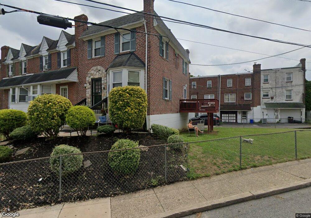
7286 Lamport Rd Upper Darby, PA 19082
Estimated Value: $122,000 - $195,000
3
Beds
1
Bath
1,080
Sq Ft
$149/Sq Ft
Est. Value
About This Home
This home is located at 7286 Lamport Rd, Upper Darby, PA 19082 and is currently estimated at $160,710, approximately $148 per square foot. 7286 Lamport Rd is a home located in Delaware County with nearby schools including Upper Darby Kdg Center, Upper Darby High School, and Vision Academy Charter School.
Ownership History
Date
Name
Owned For
Owner Type
Purchase Details
Closed on
Jun 28, 2017
Sold by
9 11 South 4Th Street Llc
Bought by
Pierce Annemarie
Current Estimated Value
Home Financials for this Owner
Home Financials are based on the most recent Mortgage that was taken out on this home.
Original Mortgage
$58,913
Outstanding Balance
$49,027
Interest Rate
3.95%
Mortgage Type
FHA
Estimated Equity
$111,683
Purchase Details
Closed on
Nov 22, 2011
Sold by
Kodadek Robert C
Bought by
9-11 South 4Th Street Llc
Create a Home Valuation Report for This Property
The Home Valuation Report is an in-depth analysis detailing your home's value as well as a comparison with similar homes in the area
Home Values in the Area
Average Home Value in this Area
Purchase History
| Date | Buyer | Sale Price | Title Company |
|---|---|---|---|
| Pierce Annemarie | $60,000 | None Available | |
| 9-11 South 4Th Street Llc | $30,000 | None Available |
Source: Public Records
Mortgage History
| Date | Status | Borrower | Loan Amount |
|---|---|---|---|
| Open | Pierce Annemarie | $58,913 |
Source: Public Records
Tax History Compared to Growth
Tax History
| Year | Tax Paid | Tax Assessment Tax Assessment Total Assessment is a certain percentage of the fair market value that is determined by local assessors to be the total taxable value of land and additions on the property. | Land | Improvement |
|---|---|---|---|---|
| 2025 | $3,074 | $72,690 | $19,750 | $52,940 |
| 2024 | $3,074 | $72,690 | $19,750 | $52,940 |
| 2023 | $3,045 | $72,690 | $19,750 | $52,940 |
| 2022 | $2,963 | $72,690 | $19,750 | $52,940 |
| 2021 | $3,996 | $72,690 | $19,750 | $52,940 |
| 2020 | $3,158 | $48,820 | $17,950 | $30,870 |
| 2019 | $3,103 | $48,820 | $17,950 | $30,870 |
| 2018 | $3,067 | $48,820 | $0 | $0 |
| 2017 | $2,987 | $48,820 | $0 | $0 |
| 2016 | $268 | $48,820 | $0 | $0 |
| 2015 | $273 | $48,820 | $0 | $0 |
| 2014 | $268 | $48,820 | $0 | $0 |
Source: Public Records
Map
Nearby Homes
- 7249 Guilford Rd
- 40 Lamport Rd
- 404 Croyden Rd
- 219 Le Carra Dr
- 7216 Clinton Rd
- 7139 Guilford Rd
- 346 Long Ln
- 669 Long Ln
- 291 N Wycombe Ave
- 432 Grace Rd
- 204 Chapman Ave
- 607 Littlecroft Rd
- 506 Hampden Rd
- 7265 Calvin Rd
- 209 N Wycombe Ave
- 213 1/2 Melrose Ave
- 239 N Maple Ave
- 219 N Wycombe Ave
- 414 Glendale Rd
- 351 Long Ln
- 7284 Lamport Rd
- 7282 Lamport Rd
- 7277 Glenthorne Rd
- 7280 Lamport Rd
- 7289 Guilford Rd
- 7287 Guilford Rd
- 7255 Guilford Rd
- 7285 Guilford Rd
- 7283 Guilford Rd
- 7281 Guilford Rd
- 7279 Guilford Rd
- 7277 Guilford Rd
- 7275 Guilford Rd
- 7273 Guilford Rd
- 7219 Guilford Rd
- 7276 Lamport Rd
- 7293 Guilford Rd
- 7293 Guilford Rd
- 7293 Guilford Rd
- 7293 Guilford Rd