7286 Litany Ct Flowery Branch, GA 30542
Estimated Value: $359,000 - $395,000
3
Beds
2
Baths
2,042
Sq Ft
$186/Sq Ft
Est. Value
About This Home
This home is located at 7286 Litany Ct, Flowery Branch, GA 30542 and is currently estimated at $380,018, approximately $186 per square foot. 7286 Litany Ct is a home located in Hall County with nearby schools including Spout Springs Elementary School, Cherokee Bluff Middle School, and Cherokee Bluff High School.
Ownership History
Date
Name
Owned For
Owner Type
Purchase Details
Closed on
Nov 3, 2016
Sold by
Beauly Llc
Bought by
Csh 2016 2 Borrower Llc
Current Estimated Value
Purchase Details
Closed on
Apr 1, 2014
Sold by
Mejia Johnnie E
Bought by
Beauly Llc
Purchase Details
Closed on
Mar 16, 2006
Sold by
Jay Bullock Communities Inc
Bought by
Mejia Johnnie R
Home Financials for this Owner
Home Financials are based on the most recent Mortgage that was taken out on this home.
Original Mortgage
$169,342
Interest Rate
6.25%
Mortgage Type
FHA
Purchase Details
Closed on
Mar 19, 2001
Sold by
Kelly Patricia C and Marie Mcclain
Bought by
Balata Development Corp The
Create a Home Valuation Report for This Property
The Home Valuation Report is an in-depth analysis detailing your home's value as well as a comparison with similar homes in the area
Home Values in the Area
Average Home Value in this Area
Purchase History
| Date | Buyer | Sale Price | Title Company |
|---|---|---|---|
| Csh 2016 2 Borrower Llc | -- | -- | |
| Beauly Llc | $118,000 | -- | |
| Mejia Johnnie R | $172,000 | -- | |
| Jay Bullock Communities Inc | -- | -- | |
| Balata Development Corp The | $1,262,100 | -- |
Source: Public Records
Mortgage History
| Date | Status | Borrower | Loan Amount |
|---|---|---|---|
| Previous Owner | Jay Bullock Communities Inc | $169,342 |
Source: Public Records
Tax History Compared to Growth
Tax History
| Year | Tax Paid | Tax Assessment Tax Assessment Total Assessment is a certain percentage of the fair market value that is determined by local assessors to be the total taxable value of land and additions on the property. | Land | Improvement |
|---|---|---|---|---|
| 2024 | $3,819 | $148,960 | $25,344 | $123,616 |
| 2023 | $3,823 | $148,960 | $27,080 | $121,880 |
| 2022 | $3,165 | $117,440 | $24,520 | $92,920 |
| 2021 | $2,304 | $96,920 | $19,400 | $77,520 |
| 2020 | $2,448 | $85,320 | $11,240 | $74,080 |
| 2019 | $2,155 | $86,880 | $11,240 | $75,640 |
| 2018 | $2,570 | $86,200 | $11,240 | $74,960 |
| 2017 | $2,351 | $79,320 | $11,240 | $68,080 |
| 2016 | $1,996 | $68,280 | $11,240 | $57,040 |
| 2015 | $1,428 | $49,140 | $6,720 | $42,420 |
| 2014 | $1,428 | $49,140 | $6,720 | $42,420 |
Source: Public Records
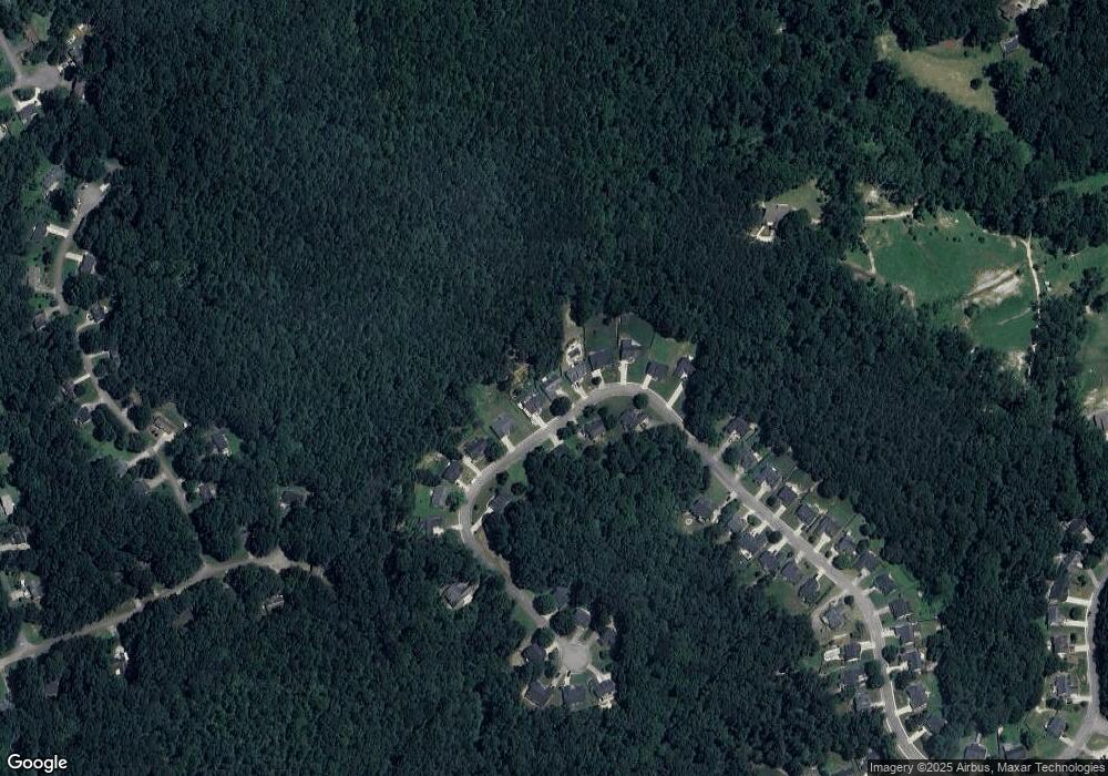
Map
Nearby Homes
- 7282 Litany Ct
- 7293 Litany Ct Unit 49
- 7293 Litany Ct
- 6707 Spring Head Dr
- 7012 Litany Ct
- 6739 Spring Head Dr
- 7005 Litany Ct
- 7464 Williams Rd
- 6985 Spout Springs Rd
- 6311 Bent Oaks Ct
- 7272 Coral Lake Dr
- 7235 Coral Lake Dr
- 6996 Deaton Henry Rd
- 7201 Maple Brook Ln
- 7164 Maple Brook Ln
- 7144 Maple Brook Ln
- 7343 Peacebrook Dr
- 7119 Branch Creek Cove
- 7290 Litany Ct
- 0 Litany Ct Unit 7515264
- 0 Litany Ct Unit 7416581
- 0 Litany Ct Unit 7411024
- 0 Litany Ct Unit 3174319
- 0 Litany Ct Unit 8898618
- 0 Litany Ct Unit 8890403
- 0 Litany Ct Unit 8859019
- 0 Litany Ct Unit 8809946
- 0 Litany Ct Unit 8790505
- 0 Litany Ct Unit 8587420
- 0 Litany Ct Unit 8305842
- 0 Litany Ct Unit 8255369
- 0 Litany Ct Unit 8113894
- 0 Litany Ct Unit 8006529
- 0 Litany Ct Unit 7629602
- 0 Litany Ct Unit 7082392
- 0 Litany Ct Unit 7362228
- 0 Litany Ct Unit 3190625
- 0 Litany Ct