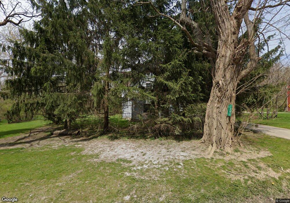
7287 Faussett Rd Fenton, MI 48430
Estimated Value: $446,000 - $667,000
--
Bed
--
Bath
2,240
Sq Ft
$229/Sq Ft
Est. Value
About This Home
This home is located at 7287 Faussett Rd, Fenton, MI 48430 and is currently estimated at $512,461, approximately $228 per square foot. 7287 Faussett Rd is a home located in Livingston County with nearby schools including Hartland High School and Hidden Springs Christian School.
Ownership History
Date
Name
Owned For
Owner Type
Purchase Details
Closed on
Jun 26, 2024
Sold by
Prokuda Brian P and Prokuda Kellie S
Bought by
Prokuda Brian P and Prokuda Kellie S
Current Estimated Value
Purchase Details
Closed on
Aug 4, 2000
Sold by
Ayres Timothy R and Orourke Kathleen C
Bought by
Prokuda Brian P and Prokuda Kellie S
Purchase Details
Closed on
Nov 9, 1995
Sold by
Luce Milton E
Bought by
Ayres Timothy R
Home Financials for this Owner
Home Financials are based on the most recent Mortgage that was taken out on this home.
Original Mortgage
$144,900
Interest Rate
7.75%
Mortgage Type
New Conventional
Create a Home Valuation Report for This Property
The Home Valuation Report is an in-depth analysis detailing your home's value as well as a comparison with similar homes in the area
Home Values in the Area
Average Home Value in this Area
Purchase History
| Date | Buyer | Sale Price | Title Company |
|---|---|---|---|
| Prokuda Brian P | -- | -- | |
| Prokuda Brian P | $279,900 | Metropolitan Title Company | |
| Ayres Timothy R | $161,000 | -- |
Source: Public Records
Mortgage History
| Date | Status | Borrower | Loan Amount |
|---|---|---|---|
| Previous Owner | Ayres Timothy R | $144,900 |
Source: Public Records
Tax History Compared to Growth
Tax History
| Year | Tax Paid | Tax Assessment Tax Assessment Total Assessment is a certain percentage of the fair market value that is determined by local assessors to be the total taxable value of land and additions on the property. | Land | Improvement |
|---|---|---|---|---|
| 2025 | $3,038 | $164,300 | $0 | $0 |
| 2024 | $1,331 | $174,700 | $0 | $0 |
| 2023 | $1,272 | $156,400 | $0 | $0 |
| 2022 | $2,684 | $135,100 | $0 | $0 |
| 2021 | $2,684 | $128,400 | $0 | $0 |
| 2020 | $2,662 | $126,800 | $0 | $0 |
| 2019 | $2,479 | $123,400 | $0 | $0 |
| 2018 | $2,425 | $116,465 | $0 | $0 |
| 2017 | $2,369 | $116,465 | $0 | $0 |
| 2016 | $2,342 | $112,290 | $0 | $0 |
| 2014 | $2,117 | $90,317 | $0 | $0 |
| 2012 | $2,117 | $80,942 | $0 | $0 |
Source: Public Records
Map
Nearby Homes
- 6140 Mcguire Rd
- 7386 Dean Rd
- 00-Lot 128 Ledgewood Dr
- 000-Unit 3 Ledgewood Ravine
- 001 Driftwood Dr S
- 7447 Driftwood Dr S
- 7477 Ore Knob Dr
- 7334 Parkwood Dr
- 0 Parkwood Dr
- 8373 Riverwalk Dr
- 8425 Parshallville Rd
- 5359 Faussett Rd
- 7680 Parshallville Rd
- 7670 Parshallville Rd
- 6612 Prince Blvd
- 7741 Clyde Rd
- 6300 Hazard Rd
- V/L Parshallville Rd
- 6418 Apple Way
- 9680 Townsquare Blvd
- 7286 Faussett Rd
- 7268 Faussett Rd
- 7017 Randall Dr
- 7300 Faussett Rd
- Parcel B Ravens Roost Dr
- 7312 Faussett Rd
- 7250 Faussett Rd
- 7070 Randall Dr
- 7070 Randall Dr
- 7225 Faussett Rd
- 7346 Faussett Rd
- 7055 Randall Dr
- 7115 Ravens Roost Dr Unit Bldg-Unit
- 7115 Ravens Roost Dr
- 0 Ravens Roost Dr
- 7215 Faussett Rd
- 7230 Faussett Rd
- 7367 Faussett Rd
- 7220 Faussett Rd
- 7324 Faussett Rd