729 Brookwood Ln E Rochester Hills, MI 48309
Estimated Value: $582,485 - $664,000
3
Beds
4
Baths
2,918
Sq Ft
$212/Sq Ft
Est. Value
About This Home
This home is located at 729 Brookwood Ln E, Rochester Hills, MI 48309 and is currently estimated at $618,121, approximately $211 per square foot. 729 Brookwood Ln E is a home located in Oakland County with nearby schools including Long Meadow Elementary School, West Middle School, and Rochester Adams High School.
Ownership History
Date
Name
Owned For
Owner Type
Purchase Details
Closed on
Jun 30, 2021
Sold by
Lockman Richard G and Lockman Karen M
Bought by
Tocco Brian and Tocco Wendy
Current Estimated Value
Home Financials for this Owner
Home Financials are based on the most recent Mortgage that was taken out on this home.
Original Mortgage
$360,000
Outstanding Balance
$275,138
Interest Rate
2.9%
Mortgage Type
New Conventional
Estimated Equity
$342,983
Purchase Details
Closed on
Jan 14, 1999
Sold by
Morris Thomas E
Bought by
Lockman Richard G
Create a Home Valuation Report for This Property
The Home Valuation Report is an in-depth analysis detailing your home's value as well as a comparison with similar homes in the area
Home Values in the Area
Average Home Value in this Area
Purchase History
| Date | Buyer | Sale Price | Title Company |
|---|---|---|---|
| Tocco Brian | $450,000 | None Available | |
| Tocco Brian | $450,000 | None Listed On Document | |
| Lockman Richard G | $345,000 | -- |
Source: Public Records
Mortgage History
| Date | Status | Borrower | Loan Amount |
|---|---|---|---|
| Open | Tocco Brian | $360,000 | |
| Closed | Tocco Brian | $360,000 |
Source: Public Records
Tax History Compared to Growth
Tax History
| Year | Tax Paid | Tax Assessment Tax Assessment Total Assessment is a certain percentage of the fair market value that is determined by local assessors to be the total taxable value of land and additions on the property. | Land | Improvement |
|---|---|---|---|---|
| 2022 | $3,779 | $213,160 | $0 | $0 |
| 2018 | $4,417 | $201,330 | $0 | $0 |
| 2017 | $4,331 | $203,150 | $0 | $0 |
| 2015 | -- | $177,540 | $0 | $0 |
| 2014 | -- | $158,280 | $0 | $0 |
| 2011 | -- | $122,810 | $0 | $0 |
Source: Public Records
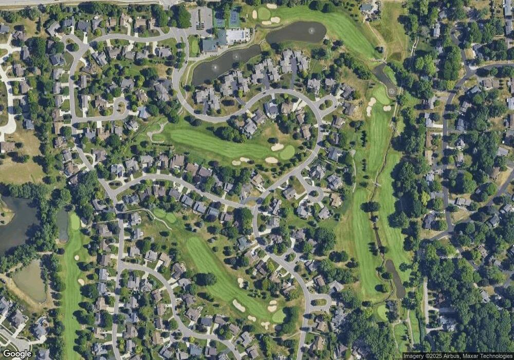
Map
Nearby Homes
- 2452 Lassiter Dr
- 842 Timberline Dr
- 73 Nevada Ave
- 1536 Royal Crescent St
- 2222 Walton Blvd
- 2247 Walton Blvd Unit 46
- 2245 Walton Blvd Unit 58
- 184 Shagbark Dr
- 1515 Chevy Circuit
- 2377 Walton Blvd Unit 15
- 2700 Mohawk Ln
- 100 Longford Dr
- 51 Manor Way Unit 30
- 1665 Huntington Park Unit E
- 123 Longford Dr
- 1390 Chestnut Ln
- 448 Streamview Ct
- 65 Stratford Ln
- 87 E Maryknoll Rd
- 110 Stratford Ln
- 2050 Saint Andrews Dr
- 2064 Saint Andrews Dr
- 724 Brookwood Ln E
- 732 Brookwood Ln E
- 2078 Saint Andrews Dr
- 2092 Saint Andrews Dr
- 716 Brookwood Ln E
- 717 Brookwood Ln E
- 2055 Saint Andrews Dr
- 955 Brookwood Ln E
- 2069 Saint Andrews Dr
- 748 Brookwood Ct
- 2106 Saint Andrews Dr
- 935 Brookwood Ln E
- 780 Brookwood Ct
- 2083 Saint Andrews Dr
- 706 Brookwood Ln E
- 709 Brookwood Ln E
- 763 Brookwood Ln E
- 696 Brookwood Ln E