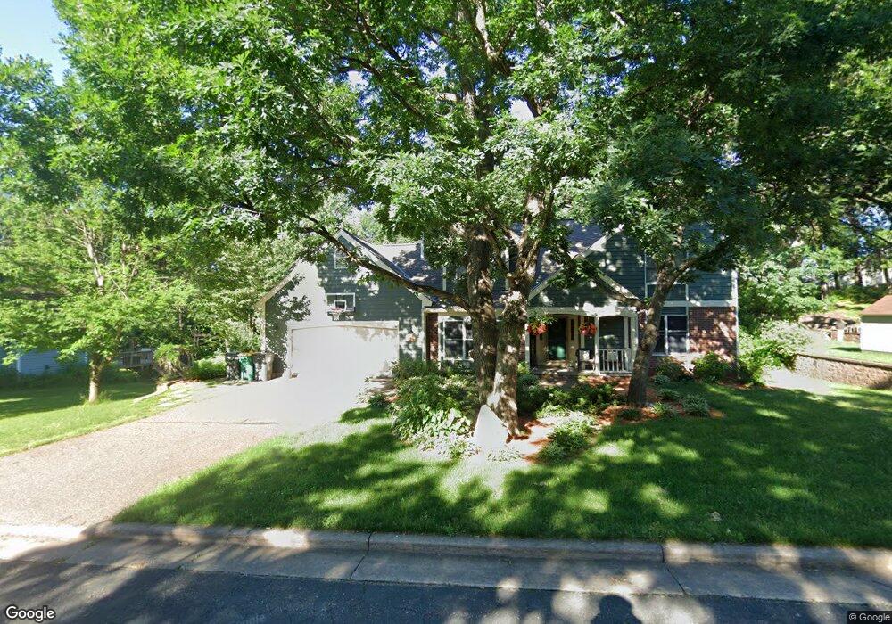
729 Deer Path Rd Hudson, WI 54016
Estimated Value: $422,668 - $481,000
4
Beds
3
Baths
2,352
Sq Ft
$194/Sq Ft
Est. Value
About This Home
This home is located at 729 Deer Path Rd, Hudson, WI 54016 and is currently estimated at $456,167, approximately $193 per square foot. 729 Deer Path Rd is a home located in St. Croix County with nearby schools including North Hudson Elementary School, Hudson Middle School, and Hudson High School.
Ownership History
Date
Name
Owned For
Owner Type
Purchase Details
Closed on
Apr 30, 2020
Sold by
Anderson Michael and Anderson Cari
Bought by
Wolf Matthew David and Wolf Jessica Kristen
Current Estimated Value
Home Financials for this Owner
Home Financials are based on the most recent Mortgage that was taken out on this home.
Original Mortgage
$170,000
Outstanding Balance
$148,983
Interest Rate
3.3%
Mortgage Type
New Conventional
Estimated Equity
$307,184
Purchase Details
Closed on
Aug 25, 2015
Sold by
Grubb Hollis and Grubb Sylvia
Bought by
Grubb Hollis C and Grubb Sylvia M
Purchase Details
Closed on
Nov 25, 2013
Sold by
Grubb Hollis and Grubb Sylvia
Bought by
Anderson Michael and Anderson Cari
Home Financials for this Owner
Home Financials are based on the most recent Mortgage that was taken out on this home.
Original Mortgage
$246,000
Interest Rate
6%
Mortgage Type
Seller Take Back
Purchase Details
Closed on
Feb 3, 2011
Sold by
Koski Nancy I
Bought by
Grubb Hollis and Grubb Sylvia
Create a Home Valuation Report for This Property
The Home Valuation Report is an in-depth analysis detailing your home's value as well as a comparison with similar homes in the area
Home Values in the Area
Average Home Value in this Area
Purchase History
| Date | Buyer | Sale Price | Title Company |
|---|---|---|---|
| Wolf Matthew David | $319,000 | Partners Title | |
| Anderson Michael | -- | Partners Title | |
| Wolf Matthew David | $319,000 | Partners Title | |
| Anderson Michael | -- | Partners Title | |
| Grubb Hollis C | -- | Attorney | |
| Grubb Hollis C | -- | Attorney | |
| Anderson Michael | $256,000 | None Available | |
| Anderson Michael | $256,000 | None Available | |
| Grubb Hollis | $255,800 | Rels Title | |
| Grubb Hollis | $255,800 | Rels Title |
Source: Public Records
Mortgage History
| Date | Status | Borrower | Loan Amount |
|---|---|---|---|
| Open | Wolf Matthew David | $170,000 | |
| Previous Owner | Anderson Michael | $246,000 |
Source: Public Records
Tax History
| Year | Tax Paid | Tax Assessment Tax Assessment Total Assessment is a certain percentage of the fair market value that is determined by local assessors to be the total taxable value of land and additions on the property. | Land | Improvement |
|---|---|---|---|---|
| 2025 | $5,211 | $367,700 | $69,300 | $298,400 |
| 2024 | $50 | $367,700 | $69,300 | $298,400 |
| 2023 | $4,974 | $367,700 | $69,300 | $298,400 |
| 2022 | $5,380 | $367,700 | $69,300 | $298,400 |
| 2021 | $5,208 | $254,900 | $47,300 | $207,600 |
| 2020 | $5,899 | $254,900 | $47,300 | $207,600 |
| 2019 | $3,032 | $254,900 | $47,300 | $207,600 |
| 2018 | $4,640 | $254,900 | $47,300 | $207,600 |
| 2017 | $4,472 | $254,900 | $47,300 | $207,600 |
| 2016 | $4,472 | $254,900 | $47,300 | $207,600 |
| 2015 | $4,731 | $254,900 | $47,300 | $207,600 |
| 2014 | $4,064 | $254,900 | $47,300 | $207,600 |
| 2013 | $4,729 | $298,900 | $68,300 | $230,600 |
Source: Public Records
Map
Nearby Homes
- 1029 Sommers St N
- 1031 Sommers St N
- 1102 Sommers St N
- 602 Prairie Dr N
- 1143 Sommers St N
- 641 8th St N
- 811 Fox Tree Ln N
- 241 Starrwood
- 214 Galahad Place N
- 888 Bluebird Ct N
- 312 Meadow Dr N
- 1205 Riverside Dr N
- 1054 Cottonwood Dr
- 1205 Riverside Drive N
- 322 5th St N
- 1075 Autumn Oak Ln
- 312 3rd St N
- 621 Mallalieu Dr
- 233 River Heights Trail
- 1233 7th St
- 729 Deer Path Rd
- 726 Deer Path Rd
- 723 Deer Path Rd
- 733 Deer Path Rd N
- 733 Deer Path Rd
- 738 Deer Path Rd
- 734 Deer Path Rd
- 1102 Partridge Ln
- 720 Woodcrest Dr N
- 712 Woodcrest Dr N
- 724 Woodcrest Dr N
- 737 Deer Path Rd
- 706 Woodcrest Dr N
- 1106 Partridge Ln
- 733 Hunters Cir
- 718 Deer Path Rd
- 730 Woodcrest Dr N
- 1110 Partridge Ln N
- 1110 Partridge Ln
- 737 Hunters Cir
Your Personal Tour Guide
Ask me questions while you tour the home.