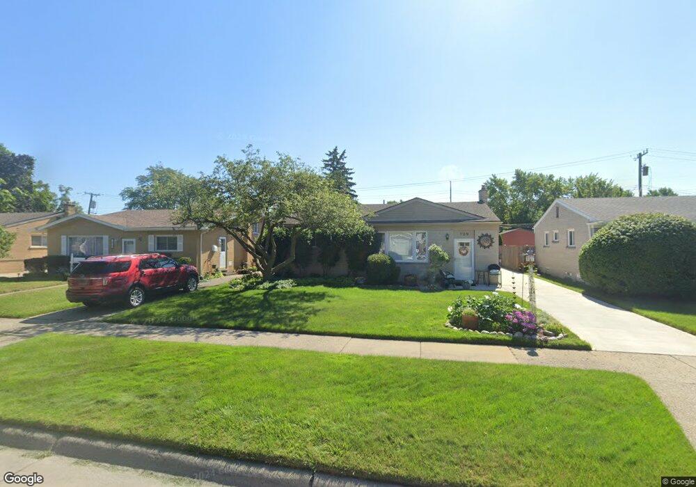
729 Easley Dr Westland, MI 48186
Estimated Value: $173,064 - $236,000
Studio
1
Bath
1,055
Sq Ft
$200/Sq Ft
Est. Value
About This Home
This home is located at 729 Easley Dr, Westland, MI 48186 and is currently estimated at $211,016, approximately $200 per square foot. 729 Easley Dr is a home located in Wayne County with nearby schools including Alexander Hamilton Elementary School, Adams Middle School, and John Glenn High School.
Ownership History
Date
Name
Owned For
Owner Type
Purchase Details
Closed on
Jun 13, 2007
Sold by
Mcnally Ronald B
Bought by
Mcnally Peggy Ann
Current Estimated Value
Purchase Details
Closed on
Aug 7, 2001
Sold by
Discher James T
Bought by
Mcnally Peggy A
Home Financials for this Owner
Home Financials are based on the most recent Mortgage that was taken out on this home.
Original Mortgage
$75,000
Interest Rate
6.8%
Create a Home Valuation Report for This Property
The Home Valuation Report is an in-depth analysis detailing your home's value as well as a comparison with similar homes in the area
Home Values in the Area
Average Home Value in this Area
Purchase History
| Date | Buyer | Sale Price | Title Company |
|---|---|---|---|
| Mcnally Peggy Ann | -- | None Available | |
| Mcnally Peggy A | $64,000 | -- |
Source: Public Records
Mortgage History
| Date | Status | Borrower | Loan Amount |
|---|---|---|---|
| Previous Owner | Mcnally Peggy A | $75,000 |
Source: Public Records
Tax History
| Year | Tax Paid | Tax Assessment Tax Assessment Total Assessment is a certain percentage of the fair market value that is determined by local assessors to be the total taxable value of land and additions on the property. | Land | Improvement |
|---|---|---|---|---|
| 2025 | $1,827 | $90,500 | $0 | $0 |
| 2024 | $1,791 | $85,700 | $0 | $0 |
| 2023 | $1,711 | $75,100 | $0 | $0 |
| 2022 | $2,011 | $66,200 | $0 | $0 |
| 2021 | $1,961 | $63,100 | $0 | $0 |
| 2020 | $1,939 | $57,100 | $0 | $0 |
| 2019 | $1,869 | $54,100 | $0 | $0 |
| 2018 | $1,407 | $47,600 | $0 | $0 |
| 2017 | $700 | $44,300 | $0 | $0 |
| 2016 | $1,814 | $44,100 | $0 | $0 |
| 2015 | $3,484 | $39,530 | $0 | $0 |
| 2013 | $3,375 | $34,520 | $0 | $0 |
| 2012 | $1,574 | $33,450 | $0 | $0 |
Source: Public Records
Map
Nearby Homes
- 32952 Avondale St
- 32730 Avondale St
- 1072 S Venoy Rd
- 32624 Avondale St
- 1015 Easley Dr
- 33443 Unicorn Ct
- 32732 Glen St
- 32564 Hazelwood St
- 816 S Schuman St
- 33060 Cherry Hill Rd
- 32429 Hazelwood Ave
- 00000 Cherry Hill Rd
- 32151 Grandview Ave
- 631 Forest St
- 33823 Hiveley St
- 33707 Glen St
- 32025 Birchwood St
- 140 Hubbard St
- 547 S Hawthorne St
- 32154 Melton St
Your Personal Tour Guide
Ask me questions while you tour the home.