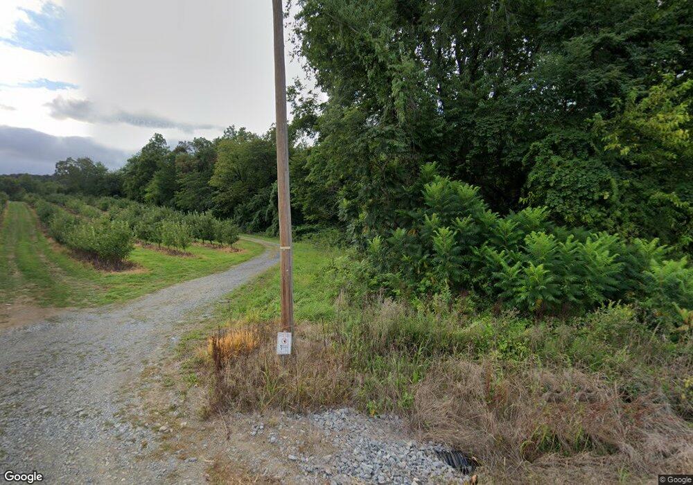
729 Potato Rd Aspers, PA 17304
Estimated Value: $312,000 - $643,018
3
Beds
1
Bath
1,404
Sq Ft
$326/Sq Ft
Est. Value
About This Home
This home is located at 729 Potato Rd, Aspers, PA 17304 and is currently estimated at $458,255, approximately $326 per square foot. 729 Potato Rd is a home located in Adams County with nearby schools including Biglerville High School.
Ownership History
Date
Name
Owned For
Owner Type
Purchase Details
Closed on
Jan 7, 2010
Sold by
Showers Clair R and Showers Louetta C
Bought by
Showers Matthew R and Showers Sonya L
Current Estimated Value
Home Financials for this Owner
Home Financials are based on the most recent Mortgage that was taken out on this home.
Original Mortgage
$220,000
Outstanding Balance
$143,191
Interest Rate
4.78%
Mortgage Type
Future Advance Clause Open End Mortgage
Estimated Equity
$315,064
Create a Home Valuation Report for This Property
The Home Valuation Report is an in-depth analysis detailing your home's value as well as a comparison with similar homes in the area
Home Values in the Area
Average Home Value in this Area
Purchase History
| Date | Buyer | Sale Price | Title Company |
|---|---|---|---|
| Showers Matthew R | $220,000 | -- |
Source: Public Records
Mortgage History
| Date | Status | Borrower | Loan Amount |
|---|---|---|---|
| Open | Showers Matthew R | $220,000 |
Source: Public Records
Tax History Compared to Growth
Tax History
| Year | Tax Paid | Tax Assessment Tax Assessment Total Assessment is a certain percentage of the fair market value that is determined by local assessors to be the total taxable value of land and additions on the property. | Land | Improvement |
|---|---|---|---|---|
| 2025 | $2,797 | $131,800 | $43,500 | $88,300 |
| 2024 | $2,705 | $131,800 | $43,500 | $88,300 |
| 2023 | $9,223 | $131,800 | $43,500 | $88,300 |
| 2022 | $9,223 | $131,800 | $43,500 | $88,300 |
| 2021 | $8,963 | $131,800 | $43,500 | $88,300 |
| 2020 | $8,963 | $131,800 | $43,500 | $88,300 |
| 2019 | $8,793 | $131,800 | $43,500 | $88,300 |
| 2018 | $8,576 | $131,800 | $43,500 | $88,300 |
| 2017 | $2,343 | $131,800 | $43,500 | $88,300 |
| 2016 | -- | $131,800 | $43,500 | $88,300 |
| 2015 | -- | $127,900 | $39,600 | $88,300 |
| 2014 | -- | $124,700 | $36,400 | $88,300 |
Source: Public Records
Map
Nearby Homes
- 109 Fawn Dr
- 144 N Main
- 135 N Main St
- 0 Parcel 1 Unit PAAD2018366
- 835 Bendersville Wenksvill Rd
- 131 Park St
- 200 Creek Rd
- 90 Mcintosh
- 999 Brysonia-Wenksville Rd
- 211 Opossum Hill Rd
- 255 Opossum Hill Rd
- 264 Slatersville Rd
- 1270 Arendtsville Rd
- 0 Heckenluber Rd
- 395 Hill Top Rd
- 149 W Hanover St
- 50 Mill Rd
- 0 Hillcrest Dr Unit PAAD2019784
- 1111 Arendtsville Rd
- 98 E York St
- 340 Potato Rd
- 13 Victor Dr
- Lot 1 Potato Rd
- 690 Maryland Ave Unit 37
- 110 Fawn Dr
- 80 Stone Edge Rd
- 600 Maryland Ave
- 95 Fawn Dr
- 105 Stone Edge Rd
- 0 Maryland Ave Unit AD8301978
- 0 Maryland Ave Unit PAAD113194
- 0 Maryland Ave Unit PAAD111300
- 0 Maryland Ave Unit 1002188296
- 0 Gotten Ln
- 560 Maryland Ave
- Lot 9 Ridge Rd
- 210 Ridge Rd
- 740 Maryland Ave
- 40 Stone Jug Rd
- 40 Stone Edge Rd
