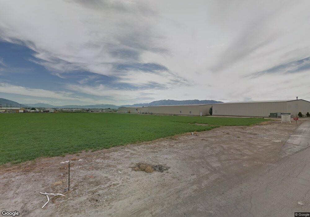
729 S 100 W Unit 4 Smithfield, UT 84335
Estimated Value: $449,000
--
Bed
--
Bath
--
Sq Ft
0.67
Acres
About This Home
This home is located at 729 S 100 W Unit 4, Smithfield, UT 84335 and is currently estimated at $449,000. 729 S 100 W Unit 4 is a home located in Cache County with nearby schools including Summit School, Cedar Ridge School, and Cedar Ridge Middle School.
Ownership History
Date
Name
Owned For
Owner Type
Purchase Details
Closed on
Jan 29, 2022
Sold by
Privacylink Llc
Bought by
Store Master Funding Xxv Llc
Current Estimated Value
Purchase Details
Closed on
Dec 23, 2020
Sold by
L Robert And Annette G Saxton Prop Llc
Bought by
Privacylink Llc
Home Financials for this Owner
Home Financials are based on the most recent Mortgage that was taken out on this home.
Original Mortgage
$103,848
Interest Rate
2.7%
Mortgage Type
Commercial
Purchase Details
Closed on
Aug 26, 2016
Sold by
Ironwood Development Lc
Bought by
L Robert And Annette G Saxton Properties
Create a Home Valuation Report for This Property
The Home Valuation Report is an in-depth analysis detailing your home's value as well as a comparison with similar homes in the area
Home Values in the Area
Average Home Value in this Area
Purchase History
| Date | Buyer | Sale Price | Title Company |
|---|---|---|---|
| Store Master Funding Xxv Llc | -- | Fidelity National Title | |
| Store Master Funding Xxv Llc | -- | Fidelity National Title | |
| Privacylink Llc | -- | Cache Title Logan | |
| L Robert And Annette G Saxton Properties | -- | None Available |
Source: Public Records
Mortgage History
| Date | Status | Borrower | Loan Amount |
|---|---|---|---|
| Previous Owner | Privacylink Llc | $103,848 | |
| Closed | Store Master Funding Xxv Llc | $0 |
Source: Public Records
Tax History Compared to Growth
Tax History
| Year | Tax Paid | Tax Assessment Tax Assessment Total Assessment is a certain percentage of the fair market value that is determined by local assessors to be the total taxable value of land and additions on the property. | Land | Improvement |
|---|---|---|---|---|
| 2025 | $2,180 | $291,852 | $291,852 | $0 |
| 2024 | $2,034 | $255,371 | $255,371 | $0 |
| 2023 | $1,290 | $153,222 | $153,222 | $0 |
| 2022 | $1,311 | $153,222 | $153,222 | $0 |
| 2021 | $1,561 | $153,222 | $153,222 | $0 |
| 2020 | $1,673 | $153,222 | $153,222 | $0 |
| 2019 | $1,170 | $102,148 | $102,148 | $0 |
| 2018 | $1,210 | $102,148 | $102,148 | $0 |
| 2017 | $1,218 | $102,150 | $0 | $0 |
| 2016 | $1,239 | $102,150 | $0 | $0 |
Source: Public Records
Map
Nearby Homes
- 657 S 85 E Unit 33
- 639 S 85 E Unit 28
- 635 S 85 E Unit 26
- 621 S 85 E Unit 24
- 104 E 650 S
- 115 E 690 S
- Mountain Valley Plan at Mountain Valley Townhome Community - Mountain Valley
- 118 E 620 S
- 423 S 80 W
- 219 E 830 S
- 98 W 400 S
- 613 S 280 E
- 339 S Main St
- 438 S 400 W
- 240 W 300 S
- 350 E 400 S
- 3193 N 2400 W
- 206 S 100 E
- 462 E 520 S
- 496 S 455 E
- 722 S 100 W Unit 5
- 763 S 100 W Unit 3
- 754 S 100 W Unit 6
- 778 S 100 W Unit 7
- 778 S 100 W
- 791 S 100 W Unit 1
- 77 W 700 S
- 711 S 100 W
- 130 W 700 S Unit B1
- 130 W 700 S Unit B2
- 130 W 700 S Unit B
- 130 W 700 S Unit E
- 130 W 700 S Unit BLDG H
- 835 S 100 W Unit 1
- 82 W 800 S Unit 8
- 731 S Main St
- 695 S Main St
- 60 W 800 S Unit 9
- 791 S Main St
- 811 S Main St Unit 2