729 Sandfield Rd Blythewood, SC 29016
Estimated Value: $162,147 - $290,000
3
Beds
1
Bath
1,449
Sq Ft
$148/Sq Ft
Est. Value
About This Home
This home is located at 729 Sandfield Rd, Blythewood, SC 29016 and is currently estimated at $214,287, approximately $147 per square foot. 729 Sandfield Rd is a home located in Richland County with nearby schools including Langford Elementary School, Muller Road Middle, and Blythewood High School.
Ownership History
Date
Name
Owned For
Owner Type
Purchase Details
Closed on
Oct 22, 2020
Sold by
Crolley Ellen Mcfaddin
Bought by
Smith Steven
Current Estimated Value
Purchase Details
Closed on
Mar 13, 2014
Sold by
Smith Steven
Bought by
Smith Steven and Smith Ellen
Purchase Details
Closed on
Jan 30, 2014
Sold by
Nationstar Mortgage Llc
Bought by
Smith Steven
Purchase Details
Closed on
Nov 26, 2013
Sold by
Bartsch Sandra and Pye Sandra B
Bought by
Nationstar Mortgage Llc
Create a Home Valuation Report for This Property
The Home Valuation Report is an in-depth analysis detailing your home's value as well as a comparison with similar homes in the area
Home Values in the Area
Average Home Value in this Area
Purchase History
| Date | Buyer | Sale Price | Title Company |
|---|---|---|---|
| Smith Steven | -- | None Available | |
| Smith Steven | -- | None Listed On Document | |
| Smith Steven | -- | None Available | |
| Smith Steven | -- | None Available | |
| Smith Steven | $34,650 | None Available | |
| Nationstar Mortgage Llc | $40,000 | None Available |
Source: Public Records
Tax History Compared to Growth
Tax History
| Year | Tax Paid | Tax Assessment Tax Assessment Total Assessment is a certain percentage of the fair market value that is determined by local assessors to be the total taxable value of land and additions on the property. | Land | Improvement |
|---|---|---|---|---|
| 2024 | $928 | $68,200 | $0 | $0 |
| 2023 | $928 | $2,372 | $0 | $0 |
| 2022 | $835 | $59,300 | $13,100 | $46,200 |
| 2021 | $0 | $2,370 | $0 | $0 |
| 2020 | $829 | $2,370 | $0 | $0 |
| 2019 | $797 | $2,370 | $0 | $0 |
| 2018 | $722 | $2,130 | $0 | $0 |
| 2017 | $711 | $2,130 | $0 | $0 |
| 2016 | $709 | $2,130 | $0 | $0 |
| 2015 | $711 | $2,130 | $0 | $0 |
| 2014 | $641 | $45,200 | $0 | $0 |
| 2013 | -- | $1,810 | $0 | $0 |
Source: Public Records
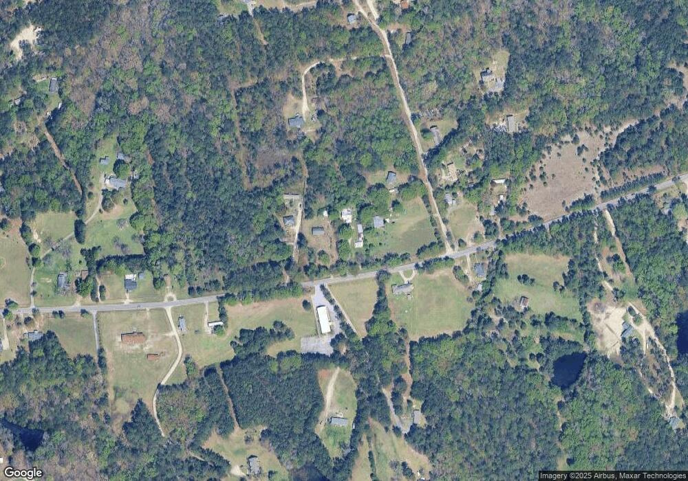
Map
Nearby Homes
- 363 Langford Rd
- 1155 Russ Brown Rd
- 247 Merrimont Dr
- 1117 Turtle Stone Rd
- 682 Bell Flower Ln
- 176 Grand Arbor Dr
- 632 Bell Flower Ln
- 1025 Eagleston Way
- 142 Monteith Rd
- 436 Langford Rd
- 791 Langford Rd
- NX 1057 Langford Rd
- 470 Langford Rd
- 1024 Beaufort Farm Rd
- 1034 Beaufort Farm Rd
- 1018 Beaufort Farm Rd
- 2053 Allan Crest Rd
- 2057 Allan Crest Rd
- 548 Portia Rd
- 19 Fangango Ct
- 737 Sandfield Rd
- 107 George Robertson Rd
- 725 Sandfield Rd
- 736 Sandfield Rd
- 801 Sandfield Rd
- 715 Sandfield Rd
- 104 George Robertson Rd
- 102 George Robertson Rd
- 112 George Robertson Rd
- 804 Sandfield Rd
- 809 Sandfield Rd
- 711 Sandfield Rd
- 121 George Robertson Rd
- 812 Sandfield Rd
- 116 George Robertson Rd
- 122 George Robertson Rd
- 704 Sandfield Rd
- 127 George Robertson Rd
- 718 Sandfield Rd
- 728 Sandfield Rd