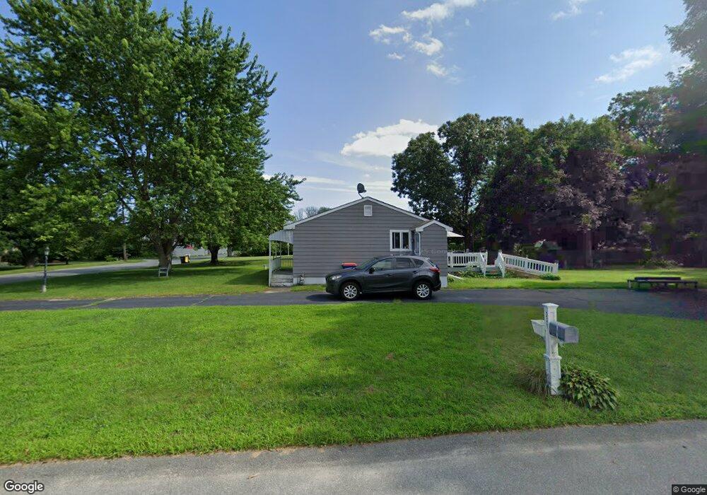
729 Sanford Rd Westport, MA 02790
North Westport NeighborhoodEstimated Value: $450,000 - $468,000
3
Beds
1
Bath
1,032
Sq Ft
$444/Sq Ft
Est. Value
About This Home
This home is located at 729 Sanford Rd, Westport, MA 02790 and is currently estimated at $458,166, approximately $443 per square foot. 729 Sanford Rd is a home located in Bristol County with nearby schools including Alice A. Macomber Primary School, Westport Elementary School, and Westport Middle-High School.
Ownership History
Date
Name
Owned For
Owner Type
Purchase Details
Closed on
Oct 3, 2011
Sold by
Moniz Melissa M
Bought by
Williams John E and Williams Jody L
Current Estimated Value
Purchase Details
Closed on
May 26, 2009
Sold by
Moniz Melissa M and Lazaro Mario A
Bought by
Moniz Melissa M
Home Financials for this Owner
Home Financials are based on the most recent Mortgage that was taken out on this home.
Original Mortgage
$250,249
Interest Rate
4.93%
Mortgage Type
FHA
Purchase Details
Closed on
May 23, 2008
Sold by
Arruda Irt
Bought by
Lazaro Mario A and Moniz Melissa M
Home Financials for this Owner
Home Financials are based on the most recent Mortgage that was taken out on this home.
Original Mortgage
$246,551
Interest Rate
5.94%
Mortgage Type
Purchase Money Mortgage
Purchase Details
Closed on
Dec 11, 1991
Sold by
Porter John M and Porter Judith A
Bought by
Williams John E and Quintin Raymond J
Create a Home Valuation Report for This Property
The Home Valuation Report is an in-depth analysis detailing your home's value as well as a comparison with similar homes in the area
Home Values in the Area
Average Home Value in this Area
Purchase History
| Date | Buyer | Sale Price | Title Company |
|---|---|---|---|
| Williams John E | $195,000 | -- | |
| Moniz Melissa M | -- | -- | |
| Lazaro Mario A | $248,500 | -- | |
| Williams John E | $80,000 | -- |
Source: Public Records
Mortgage History
| Date | Status | Borrower | Loan Amount |
|---|---|---|---|
| Previous Owner | Lazaro Mario A | $250,249 | |
| Previous Owner | Lazaro Mario A | $246,551 |
Source: Public Records
Tax History Compared to Growth
Tax History
| Year | Tax Paid | Tax Assessment Tax Assessment Total Assessment is a certain percentage of the fair market value that is determined by local assessors to be the total taxable value of land and additions on the property. | Land | Improvement |
|---|---|---|---|---|
| 2025 | $2,599 | $348,900 | $168,800 | $180,100 |
| 2024 | $2,532 | $327,600 | $149,900 | $177,700 |
| 2023 | $2,452 | $300,500 | $136,600 | $163,900 |
| 2022 | $2,340 | $276,000 | $136,600 | $139,400 |
| 2021 | $2,160 | $250,600 | $112,900 | $137,700 |
| 2020 | $2,075 | $246,100 | $108,400 | $137,700 |
| 2019 | $2,059 | $249,000 | $108,400 | $140,600 |
| 2018 | $1,748 | $213,900 | $109,600 | $104,300 |
| 2017 | $1,679 | $210,700 | $106,100 | $104,600 |
| 2016 | $1,595 | $201,600 | $102,600 | $99,000 |
| 2015 | $1,512 | $190,700 | $104,900 | $85,800 |
Source: Public Records
Map
Nearby Homes
- 735 Sanford Rd
- 725 Sanford Rd
- 14 University Dr
- 736 Sanford Rd
- 9 University Dr
- 745 Sanford Rd
- 719 Sanford Rd
- 726 Sanford Rd
- 20 University Dr
- 15 University Dr
- 730 Sanford Rd
- 21 University Dr
- 26 University Dr
- 756 Sanford Rd
- 753 Sanford Rd
- 714 Sanford Rd
- 27 University Dr
- 13 Souza Ln
- 1-3 Souza Ln
- 36 University Dr