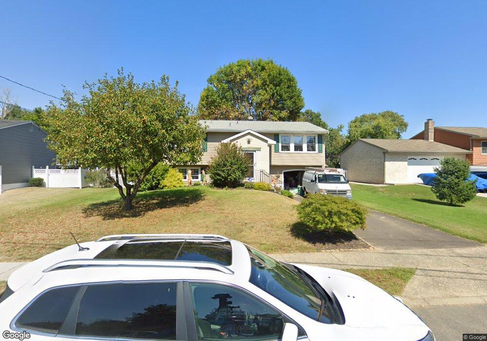
729 Sterling Rd West Deptford, NJ 08096
West Deptford Township NeighborhoodEstimated Value: $271,382 - $403,000
--
Bed
--
Bath
1,684
Sq Ft
$211/Sq Ft
Est. Value
About This Home
This home is located at 729 Sterling Rd, West Deptford, NJ 08096 and is currently estimated at $355,346, approximately $211 per square foot. 729 Sterling Rd is a home located in Gloucester County with nearby schools including Oakview Elementary School, Red Bank Elementary School, and Green-Fields Elementary School.
Ownership History
Date
Name
Owned For
Owner Type
Purchase Details
Closed on
Feb 11, 2013
Sold by
Howdershell Marvin J and Howdershell Barbara K
Bought by
Howdershell Barbara K
Current Estimated Value
Create a Home Valuation Report for This Property
The Home Valuation Report is an in-depth analysis detailing your home's value as well as a comparison with similar homes in the area
Home Values in the Area
Average Home Value in this Area
Purchase History
| Date | Buyer | Sale Price | Title Company |
|---|---|---|---|
| Howdershell Barbara K | -- | None Available |
Source: Public Records
Tax History Compared to Growth
Tax History
| Year | Tax Paid | Tax Assessment Tax Assessment Total Assessment is a certain percentage of the fair market value that is determined by local assessors to be the total taxable value of land and additions on the property. | Land | Improvement |
|---|---|---|---|---|
| 2025 | $6,094 | $174,500 | $55,300 | $119,200 |
| 2024 | $6,015 | $174,500 | $55,300 | $119,200 |
| 2023 | $6,015 | $174,500 | $55,300 | $119,200 |
| 2022 | $5,987 | $174,500 | $55,300 | $119,200 |
| 2021 | $5,595 | $174,500 | $55,300 | $119,200 |
| 2020 | $5,952 | $174,500 | $55,300 | $119,200 |
| 2019 | $5,786 | $174,500 | $55,300 | $119,200 |
| 2018 | $5,629 | $174,500 | $55,300 | $119,200 |
| 2017 | $5,499 | $174,500 | $55,300 | $119,200 |
| 2016 | $5,345 | $174,500 | $55,300 | $119,200 |
| 2015 | $5,191 | $177,900 | $58,700 | $119,200 |
| 2014 | $4,933 | $177,900 | $58,700 | $119,200 |
Source: Public Records
Map
Nearby Homes
- 2 Victorian Way
- 3 Victorian Way
- 112 N Drexel St
- 7 Victorian Way
- 83 Lynn Dr
- 46 Lynn Dr
- 302 W Red Bank Ave
- 21 S Columbia St
- 815 Harker Ave
- 266 Passaic Ave
- 210 Lawnton Ave
- 654 Frances Ave
- 193 Dubois Ave
- 1448 Victory Ave
- 195 Delaware St
- 1678 Miller Ave
- 1676 Miller Ave
- 1156 Hessian Ave
- 34 S Jackson St
- 125 S Davis St
- 723 Sterling Rd
- 735 Sterling Rd
- 743 Sterling Rd
- 360 Pixley Place
- 717 Sterling Rd
- 354 Pixley Place
- 724 Sterling Rd
- 751 Sterling Rd
- 716 Sterling Rd
- 728 Sterling Rd
- 711 Sterling Rd
- 732 Sterling Rd
- 342 Meadowcroft Rd
- 334 Meadowcroft Rd
- 736 Sterling Rd
- 326 Meadowcroft Rd
- 348 Meadowcroft Rd
- 759 Sterling Rd
- 707 Sterling Rd
- 742 Sterling Rd