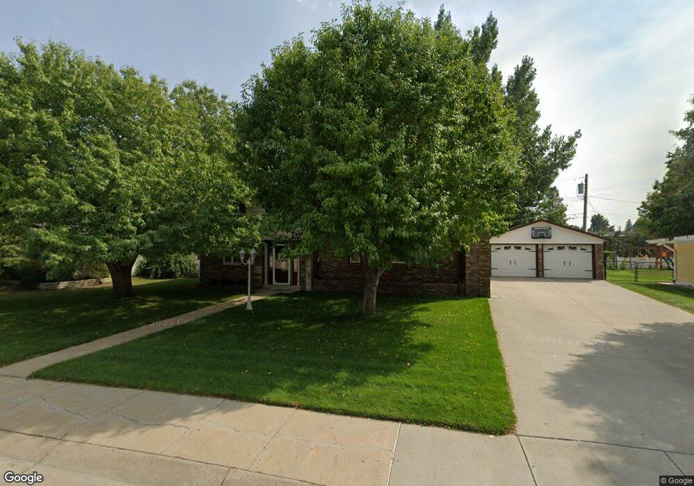
729 W 12th St Alliance, NE 69301
Estimated Value: $155,000 - $232,000
2
Beds
2
Baths
1,759
Sq Ft
$108/Sq Ft
Est. Value
About This Home
This home is located at 729 W 12th St, Alliance, NE 69301 and is currently estimated at $189,180, approximately $107 per square foot. 729 W 12th St is a home located in Box Butte County with nearby schools including Alliance High School, St. Agnes Academy, and Immanuel Evangelical Lutheran School.
Create a Home Valuation Report for This Property
The Home Valuation Report is an in-depth analysis detailing your home's value as well as a comparison with similar homes in the area
Home Values in the Area
Average Home Value in this Area
Tax History Compared to Growth
Tax History
| Year | Tax Paid | Tax Assessment Tax Assessment Total Assessment is a certain percentage of the fair market value that is determined by local assessors to be the total taxable value of land and additions on the property. | Land | Improvement |
|---|---|---|---|---|
| 2024 | $2,442 | $194,974 | $9,749 | $185,225 |
| 2023 | $3,352 | $194,974 | $9,749 | $185,225 |
| 2022 | $2,687 | $147,584 | $8,774 | $138,810 |
| 2021 | $2,510 | $136,149 | $8,774 | $127,375 |
| 2020 | $2,503 | $136,149 | $8,774 | $127,375 |
| 2019 | $2,444 | $136,149 | $8,774 | $127,375 |
| 2018 | $2,432 | $136,149 | $8,774 | $127,375 |
| 2017 | $2,447 | $131,834 | $8,287 | $123,547 |
| 2016 | $2,419 | $131,832 | $8,285 | $123,547 |
| 2015 | $2,297 | $124,850 | $8,285 | $116,565 |
| 2014 | $2,297 | $125,066 | $8,286 | $116,780 |
Source: Public Records
Map
Nearby Homes
- 1021 Dakota Ave
- 936 Platte Ave
- 819 Black Hills Ave
- 911 Emerson Ave
- 1239 Toluca Ave
- 907 Toluca Ave
- 924 Big Horn Ave
- 719 Toluca Ave
- 621 Emerson Ave
- 1019 Laramie Ave
- 904 Laramie Ave
- 20th St Emerson Ave To Colorado Ave
- 672 W 20th St
- 316 Big Horn Ave
- 420 Laramie Ave
- 615 Sweetwater Ave
- 1004 Missouri Ave
- 917 Missouri Ave
- 2039 Niobrara Ave
- 613 Mississippi Ave