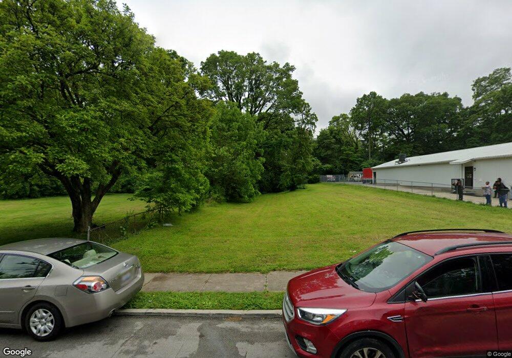
729 Whittier St Cincinnati, OH 45229
Avondale NeighborhoodEstimated Value: $174,000 - $423,196
2
Beds
1
Bath
1,331
Sq Ft
$191/Sq Ft
Est. Value
About This Home
This home is located at 729 Whittier St, Cincinnati, OH 45229 and is currently estimated at $254,049, approximately $190 per square foot. 729 Whittier St is a home located in Hamilton County with nearby schools including Frederick Douglass Elementary School, Robert A. Taft Information Technology High School, and Clark Montessori High School.
Ownership History
Date
Name
Owned For
Owner Type
Purchase Details
Closed on
Sep 30, 2015
Sold by
Bridges Barbara R and Phillips Franklin Craig
Bought by
Uptown Transportation Authority Llc
Current Estimated Value
Purchase Details
Closed on
Dec 10, 1996
Sold by
Spurel Lonzell
Bought by
Bridges Barbara R
Home Financials for this Owner
Home Financials are based on the most recent Mortgage that was taken out on this home.
Original Mortgage
$36,000
Interest Rate
7.66%
Create a Home Valuation Report for This Property
The Home Valuation Report is an in-depth analysis detailing your home's value as well as a comparison with similar homes in the area
Home Values in the Area
Average Home Value in this Area
Purchase History
| Date | Buyer | Sale Price | Title Company |
|---|---|---|---|
| Uptown Transportation Authority Llc | $197,950 | Attorney | |
| Bridges Barbara R | -- | -- |
Source: Public Records
Mortgage History
| Date | Status | Borrower | Loan Amount |
|---|---|---|---|
| Previous Owner | Bridges Barbara R | $36,000 |
Source: Public Records
Tax History Compared to Growth
Tax History
| Year | Tax Paid | Tax Assessment Tax Assessment Total Assessment is a certain percentage of the fair market value that is determined by local assessors to be the total taxable value of land and additions on the property. | Land | Improvement |
|---|---|---|---|---|
| 2024 | $223 | $3,378 | $3,378 | -- |
| 2023 | $224 | $3,378 | $3,378 | $0 |
| 2022 | $245 | $3,353 | $3,353 | $0 |
| 2021 | $238 | $3,353 | $3,353 | $0 |
| 2020 | $239 | $3,353 | $3,353 | $0 |
| 2019 | $245 | $3,133 | $3,133 | $0 |
| 2018 | $245 | $3,133 | $3,133 | $0 |
| 2017 | $236 | $3,133 | $3,133 | $0 |
| 2016 | $256 | $9,727 | $3,318 | $6,409 |
| 2015 | $629 | $9,727 | $3,318 | $6,409 |
| 2014 | $633 | $9,727 | $3,318 | $6,409 |
| 2013 | $644 | $9,727 | $3,318 | $6,409 |
Source: Public Records
Map
Nearby Homes
- 567 Stewart Place
- 3021 Melrose Ave
- 3319 Milton Ct
- 3079 Kerper Ave
- 3429 Reading Rd
- 3440 Harvey Ave
- 856 Lincoln Ave
- 252 Stetson St
- 3025 Gilbert Ave
- 816 Windham Ave
- 434 Northern Ave
- 2651 Melrose Ave
- 844 Windham Ave
- 533 Rockdale Ave
- 863 Rockdale Ave
- 207 Stetson St
- 2630 Stanton Ave
- 3219 Beresford Ave
- 2815 Highland Ave
- 3048 Gilbert Ave
- 727 Whittier St
- 731 Whittier St
- 733 Whittier St
- 737 Whittier St
- 3155 Van Buren Ave
- 715 Whittier St
- 730 Whittier St
- 3151 Van Buren Ave
- 726 Whittier St
- 3153 Van Buren Ave
- 745 Whittier St
- 742 Whittier St
- 744 Whittier St
- 640 Union St
- 746 Whittier St
- 634 Union St
- 632 Union St
- 626 Union St
- 734 Whittier St
- 630 Union St
