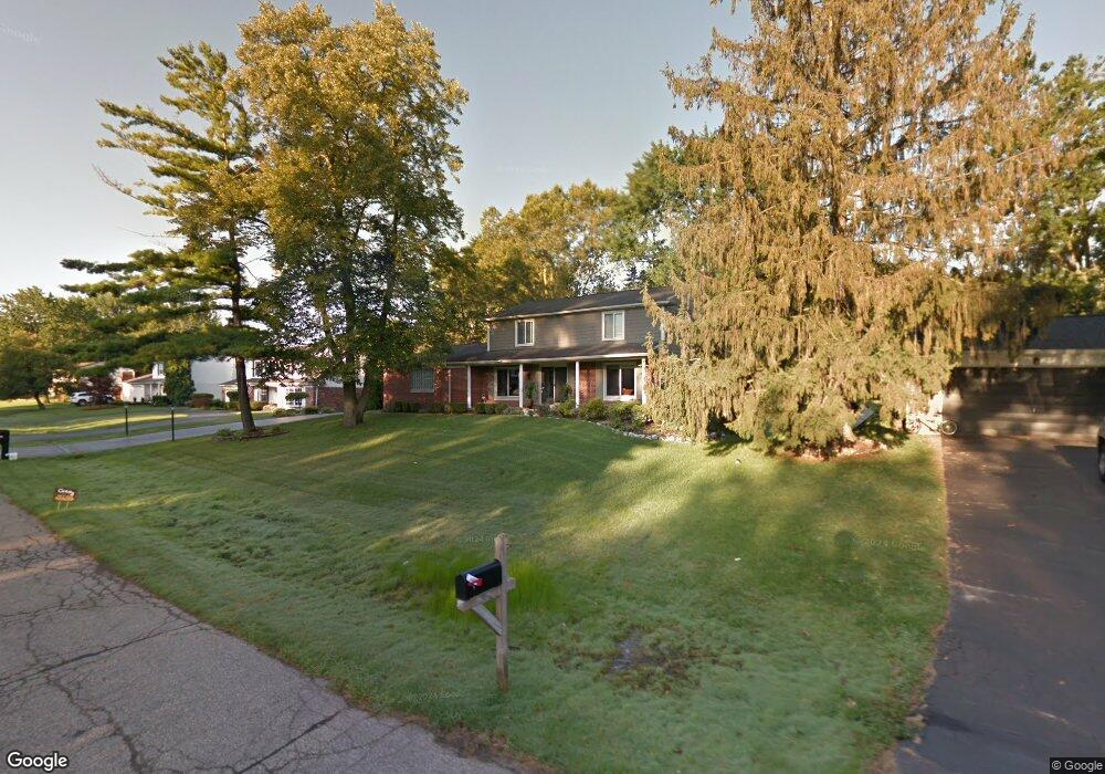
7290 Glengrove Dr Unit Bldg-Unit Bloomfield Hills, MI 48301
Estimated Value: $611,000 - $711,000
4
Beds
4
Baths
2,453
Sq Ft
$264/Sq Ft
Est. Value
About This Home
This home is located at 7290 Glengrove Dr Unit Bldg-Unit, Bloomfield Hills, MI 48301 and is currently estimated at $646,897, approximately $263 per square foot. 7290 Glengrove Dr Unit Bldg-Unit is a home located in Oakland County with nearby schools including Conant Elementary School, South Hills Middle School, and Bloomfield Hills High School.
Ownership History
Date
Name
Owned For
Owner Type
Purchase Details
Closed on
Sep 28, 2018
Sold by
Fortino Jennifer and Jennifer Fortino Trust
Bought by
Fuller Phillips Paul W and Fuller Phillips Heather Janine
Current Estimated Value
Purchase Details
Closed on
Jun 10, 2010
Sold by
Fortino Paul and Fortino Jennifer
Bought by
Fortino Jennifer and Jennifer Fortino Trust
Purchase Details
Closed on
Aug 20, 2003
Sold by
Rosen Michael and Rosen Robin
Bought by
Fortino Paul and Fortino Jennifer
Create a Home Valuation Report for This Property
The Home Valuation Report is an in-depth analysis detailing your home's value as well as a comparison with similar homes in the area
Home Values in the Area
Average Home Value in this Area
Purchase History
| Date | Buyer | Sale Price | Title Company |
|---|---|---|---|
| Fuller Phillips Paul W | $377,000 | Title One Inc | |
| Fortino Jennifer | -- | None Available | |
| Fortino Paul | $350,000 | Michigan Land Title |
Source: Public Records
Tax History Compared to Growth
Tax History
| Year | Tax Paid | Tax Assessment Tax Assessment Total Assessment is a certain percentage of the fair market value that is determined by local assessors to be the total taxable value of land and additions on the property. | Land | Improvement |
|---|---|---|---|---|
| 2024 | $4,039 | $253,270 | $0 | $0 |
| 2023 | $3,909 | $229,440 | $0 | $0 |
| 2022 | $7,346 | $199,520 | $0 | $0 |
| 2021 | $7,293 | $190,560 | $0 | $0 |
| 2020 | $3,633 | $194,180 | $0 | $0 |
| 2019 | $6,973 | $187,390 | $0 | $0 |
| 2018 | $4,775 | $178,190 | $0 | $0 |
| 2017 | $8,070 | $172,820 | $0 | $0 |
| 2016 | $4,750 | $158,800 | $0 | $0 |
| 2015 | -- | $150,840 | $0 | $0 |
| 2014 | -- | $143,940 | $0 | $0 |
| 2011 | -- | $123,450 | $0 | $0 |
Source: Public Records
Map
Nearby Homes
- 7200 Telegraph Rd
- 6952 Sandalwood Dr
- 24459 Bloomington Ct
- 32890 Whatley Rd
- 7357 W Greenwich Dr
- 4017 Hidden Woods Dr
- 4428 Old Trinity Ct
- 6940 Wing Lake Rd
- 6660 Woodbank Dr
- 23301 W 14 Mile Rd
- 25635 River Dr
- 6572 Spruce Dr
- 3880 Oakland Dr
- 32696 Ravine Dr
- 750 Trailwood Path Unit B
- 1760 Trailwood Path
- 24924 Riverwood Dr
- 32533 Robinhood Dr
- 4647 Private Lake Dr
- 25330 Devon Ln
- 7290 Glengrove Dr
- 7268 Glengrove Dr
- 7316 Glengrove Dr
- 7287 Saint Auburn Dr
- 7315 Saint Auburn Dr
- 7247 Saint Auburn Dr
- 7315 Glengrove Dr
- 7340 Glengrove Dr
- 7289 Glengrove Dr
- 7211 Saint Auburn Dr
- 7267 Glengrove Dr
- 7337 Saint Auburn Dr
- 7341 Glengrove Dr
- 7245 Glengrove Dr
- 7342 Glengrove Dr
- 7314 Saint Auburn Dr
- 7288 Saint Auburn Dr
- 7365 Glengrove Dr
- 7246 Saint Auburn Dr
- 7268 Saint Auburn Dr