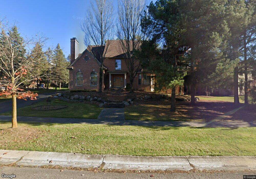
7290 Ravines Cir West Bloomfield, MI 48322
Estimated Value: $863,565 - $1,006,000
4
Beds
6
Baths
3,886
Sq Ft
$237/Sq Ft
Est. Value
About This Home
This home is located at 7290 Ravines Cir, West Bloomfield, MI 48322 and is currently estimated at $920,391, approximately $236 per square foot. 7290 Ravines Cir is a home located in Oakland County with nearby schools including Meadowbrook Elementary School, James R Geisler Middle School, and Walled Lake Western High School.
Ownership History
Date
Name
Owned For
Owner Type
Purchase Details
Closed on
Apr 18, 2007
Sold by
Stoneback H Neal and Stoneback Lillian M
Bought by
Karmo Atheer and Karmo Maha
Current Estimated Value
Purchase Details
Closed on
Mar 24, 1999
Sold by
Stoneback H Neal
Bought by
Stoneback H Neal
Home Financials for this Owner
Home Financials are based on the most recent Mortgage that was taken out on this home.
Original Mortgage
$414,000
Interest Rate
6.99%
Purchase Details
Closed on
Mar 9, 1998
Sold by
Bloomfield Pines Ltd Ptr
Bought by
Millcreek Building Co
Create a Home Valuation Report for This Property
The Home Valuation Report is an in-depth analysis detailing your home's value as well as a comparison with similar homes in the area
Home Values in the Area
Average Home Value in this Area
Purchase History
| Date | Buyer | Sale Price | Title Company |
|---|---|---|---|
| Karmo Atheer | $685,000 | None Available | |
| Stoneback H Neal | -- | -- | |
| Millcreek Building Co | $134,135 | -- |
Source: Public Records
Mortgage History
| Date | Status | Borrower | Loan Amount |
|---|---|---|---|
| Previous Owner | Stoneback H Neal | $414,000 |
Source: Public Records
Tax History Compared to Growth
Tax History
| Year | Tax Paid | Tax Assessment Tax Assessment Total Assessment is a certain percentage of the fair market value that is determined by local assessors to be the total taxable value of land and additions on the property. | Land | Improvement |
|---|---|---|---|---|
| 2024 | $6,482 | $375,270 | $0 | $0 |
| 2022 | $6,112 | $327,420 | $41,540 | $285,880 |
| 2021 | $10,128 | $322,330 | $0 | $0 |
| 2020 | $6,039 | $328,030 | $41,540 | $286,490 |
| 2018 | $9,826 | $301,030 | $41,540 | $259,490 |
| 2015 | -- | $294,590 | $0 | $0 |
| 2014 | -- | $271,100 | $0 | $0 |
| 2011 | -- | $255,430 | $0 | $0 |
Source: Public Records
Map
Nearby Homes
- 6608 Minnow Pond Dr
- 7990 Little Farm Ln
- 7296 Green Farm Rd Unit 133
- 7863 Woodingham
- 7147 Elmhurst Unit 23
- 6291 Pheasant Run
- 7453 Pepper Creek
- 6642 Carlyle Ct
- 7408 Westbury Blvd
- 6986 Crosswell Dr
- 6775 Carlyle Crossing
- 7276 Somerby
- 7288 Danbrooke Unit 125
- 7156 Sturnbridge Unit 90
- 7156 Sturnbridge
- 6517 Chelsea Bridge
- 31085 Estate Woods Ct
- 5900 Arimoore Dr
- 7659 Larchwood Dr
- 38872 Country Cir Unit 90
- 7284 Ravines Cir
- 6649 Crest Top Dr
- 6637 Crest Top Dr Unit Bldg-Unit
- 6637 Crest Top Dr
- 7276 Ravines Cir
- 6625 Crest Top Dr
- 7268 Ravines Cir
- 6646 Crest Top Dr
- 6810 Heirloom Cir Unit 12
- 6613 Crest Top Dr
- 6808 Heirloom Cir
- 7258 Ravines Cir
- 6622 Crest Top Dr
- 6813 Heirloom Cir
- 7249 Oakwood Dr
- 6815 Heirloom Cir Unit 14
- 6711 Ravines Cir
- 6687 Minnow Pond Dr
- 6601 Crest Top Dr
- 6675 Minnow Pond Dr