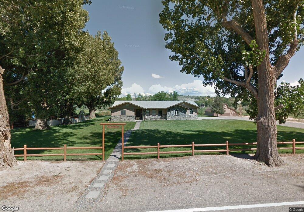
7290 S River Rd Olathe, CO 81425
Estimated Value: $512,000 - $634,000
3
Beds
1
Bath
1,788
Sq Ft
$315/Sq Ft
Est. Value
About This Home
This home is located at 7290 S River Rd, Olathe, CO 81425 and is currently estimated at $562,410, approximately $314 per square foot. 7290 S River Rd is a home located in Montrose County with nearby schools including Olathe Elementary School, Olathe Middle and High School, and Olathe Middle School.
Ownership History
Date
Name
Owned For
Owner Type
Purchase Details
Closed on
Jul 15, 1991
Sold by
Mccarty Leo M
Bought by
Branham Mattew A and Branham Terri L
Current Estimated Value
Purchase Details
Closed on
Jul 12, 1991
Sold by
S & W Colorado Joint Venture
Bought by
Branham Matthew A and Branham Terri L
Purchase Details
Closed on
Jan 23, 1985
Sold by
Willey James A
Bought by
S & W Colorado Joint Venture
Purchase Details
Closed on
Apr 29, 1981
Sold by
Cornwell Albert B
Bought by
Mccarty Leo M
Purchase Details
Closed on
Jun 1, 1979
Sold by
Brown Nelson L
Bought by
Mccarty Leo M
Create a Home Valuation Report for This Property
The Home Valuation Report is an in-depth analysis detailing your home's value as well as a comparison with similar homes in the area
Purchase History
| Date | Buyer | Sale Price | Title Company |
|---|---|---|---|
| Branham Mattew A | $27,000 | -- | |
| Branham Matthew A | -- | -- | |
| S & W Colorado Joint Venture | $15,000 | -- | |
| Mccarty Leo M | -- | -- | |
| Mccarty Leo M | $64,000 | -- |
Source: Public Records
Tax History
| Year | Tax Paid | Tax Assessment Tax Assessment Total Assessment is a certain percentage of the fair market value that is determined by local assessors to be the total taxable value of land and additions on the property. | Land | Improvement |
|---|---|---|---|---|
| 2024 | $1,933 | $30,070 | $7,310 | $22,760 |
| 2023 | $1,638 | $34,980 | $8,510 | $26,470 |
| 2022 | $1,505 | $23,910 | $4,740 | $19,170 |
| 2021 | $1,538 | $24,320 | $4,880 | $19,440 |
| 2020 | $1,361 | $21,970 | $4,740 | $17,230 |
| 2019 | $1,371 | $21,970 | $4,740 | $17,230 |
| 2018 | $1,255 | $19,580 | $3,970 | $15,610 |
| 2017 | $1,253 | $19,580 | $3,970 | $15,610 |
| 2016 | $1,195 | $19,020 | $3,820 | $15,200 |
| 2015 | $1,101 | $19,020 | $3,820 | $15,200 |
| 2014 | $929 | $17,180 | $3,820 | $13,360 |
Source: Public Records
Map
Nearby Homes
- 7528 S River Rd
- 6851 Church Rd
- 6859 Church St
- 59727 U S 50
- 6910 High Mesa Rd
- 612 S Church Ave
- 615 S Church Ave
- 58177 Garner Ln
- 7655 6075 Rd
- Lot 2(TBD) Wilson Ave
- 217 N Highway 50 Business Loop
- 9550 High Mesa Rd
- 9569 Indian Dr
- TBD (Lot 2) Gunnison Rd
- TBD (Lot 1) Gunnison Rd
- TBD (Lot 3) Gunnison Rd
- 9456 6075 Rd
- 6617 5700 Rd
- 9150 6115 Rd
- 58703 Ida Rd
- 7309 S River Rd
- 7384 S River Rd
- 7024 S River Rd
- 6999 S River Rd
- 6974 S River Rd
- 7596 S River Rd
- 6703 S River Rd
- S River Rd
- 7750 S River Rd
- 7133 5975 Rd
- 59900 Highway 50
- 7136 5975 Rd
- TBD S River Rd
- 8942 S River Rd
- 6805 Church Rd
- 59770 Falcon Rd
- 6700 S River Rd
- 6966 5975 Rd
- 6932 5975 Rd
- 59912 Highway 50
Your Personal Tour Guide
Ask me questions while you tour the home.