Estimated Value: $228,000 - $369,000
3
Beds
1
Bath
1,456
Sq Ft
$208/Sq Ft
Est. Value
About This Home
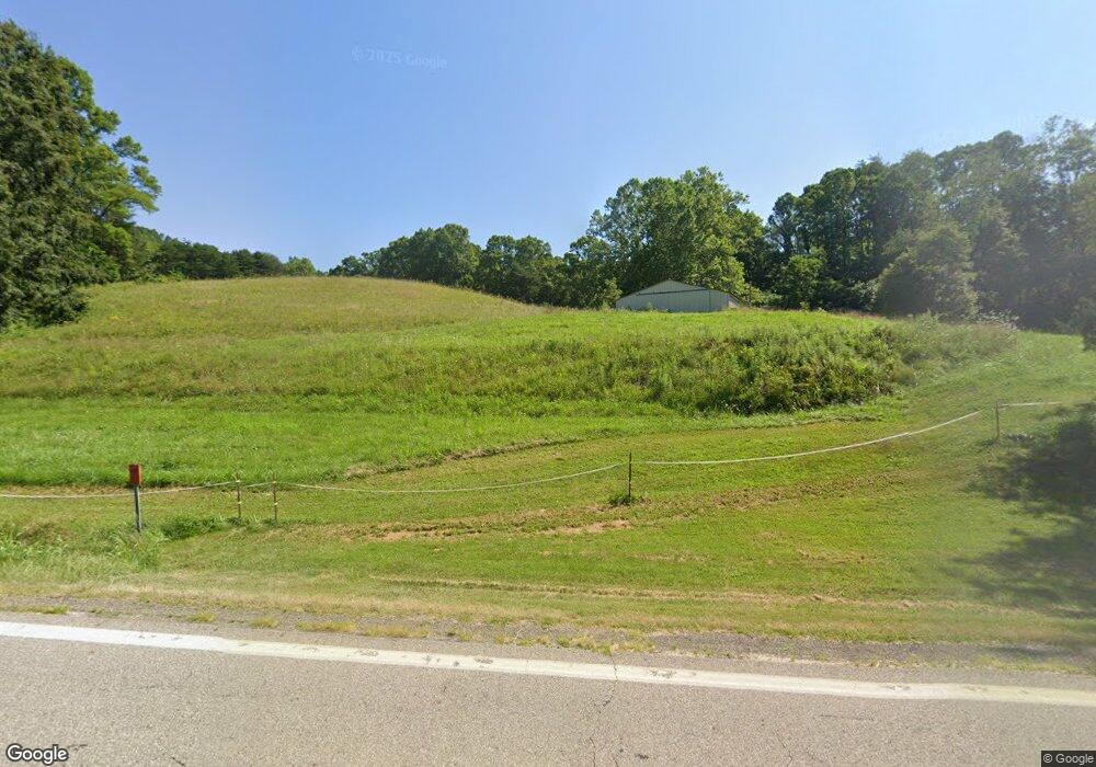
This home is located at 7290 State Route 312, Logan, OH 43138 and is currently estimated at $303,402, approximately $208 per square foot. 7290 State Route 312 is a home located in Perry County with nearby schools including Green Elementary School.
Ownership History
Date
Name
Owned For
Owner Type
Purchase Details
Closed on
Aug 7, 2017
Sold by
Dicken Bruce W and Dicken Jeanette L
Bought by
Dicken Joseph A and Dicken Dakota L
Current Estimated Value
Purchase Details
Closed on
Dec 6, 2013
Sold by
Dicken Bruce W and Dicken Jeanette L
Bought by
Mcdonald Jason L and Mcdonald Jestinah M
Create a Home Valuation Report for This Property
The Home Valuation Report is an in-depth analysis detailing your home's value as well as a comparison with similar homes in the area
Home Values in the Area
Average Home Value in this Area
Purchase History
| Date | Buyer | Sale Price | Title Company |
|---|---|---|---|
| Dicken Joseph A | -- | None Available | |
| Mcdonald Jason L | $3,400 | None Available |
Source: Public Records
Tax History Compared to Growth
Tax History
| Year | Tax Paid | Tax Assessment Tax Assessment Total Assessment is a certain percentage of the fair market value that is determined by local assessors to be the total taxable value of land and additions on the property. | Land | Improvement |
|---|---|---|---|---|
| 2024 | $1,886 | $51,510 | $9,080 | $42,430 |
| 2023 | $1,885 | $51,510 | $9,080 | $42,430 |
| 2022 | $1,747 | $44,670 | $5,970 | $38,700 |
| 2021 | $1,752 | $44,670 | $5,970 | $38,700 |
| 2020 | $1,751 | $44,670 | $5,970 | $38,700 |
| 2019 | $1,584 | $40,750 | $5,910 | $34,840 |
| 2018 | $1,556 | $40,750 | $5,910 | $34,840 |
| 2017 | $1,513 | $40,750 | $5,910 | $34,840 |
| 2016 | $1,475 | $37,890 | $5,910 | $31,980 |
| 2015 | $1,510 | $37,890 | $5,910 | $31,980 |
| 2014 | $1,425 | $37,890 | $5,910 | $31,980 |
| 2013 | $2,241 | $38,340 | $6,360 | $31,980 |
| 2012 | -- | $38,340 | $6,360 | $31,980 |
Source: Public Records
Map
Nearby Homes
- 5840 Township Road 248
- 0 Ohio 668
- 5400 Saunders Rd
- 9168 Bremen Rd
- 35041 Hunter Rd
- 4181 Van Horn Rd SW
- 0 Schmeltzer Rd
- 10132 Bremen Rd
- 12151 State Route 93 N
- 0 Bethel Rd SE Unit 225039271
- 12170 State Route 93 N
- 8941 State Route 664 N
- 9600 Larimer Rd
- 5618 Ohio 664
- 11200 Bremen Rd
- 0 Walnut Dowler Rd Unit 225043922
- 10706 State Route 93 N
- 0 Swamp Rd
- 0 Clay Hill Rd
- 2910 Township Road 185 SW
- 7285 State Route 312
- 7245 State Route 312
- 7150 State Route 312
- 7434 State Route 312
- 7639 State Route 312
- 7639 State Route 312
- 7511 State Route 312
- 6945 State Route 312
- 7052 State Route 312
- 7587 State Route 312
- 7279 Township Road 234
- 7279 Township Road 234
- 6682 State Route 312
- 7038 Township Road 234
- 7644 State Route 312
- 5472 Township Road 250
- 5500 Township Road 250
- 6925 State Route 312
- 6950 Township Road 234
- 6670 State Route 312