7293 Sea Anchor Ct Unit 2 Las Vegas, NV 89131
Estimated Value: $756,314 - $854,000
4
Beds
3
Baths
3,000
Sq Ft
$274/Sq Ft
Est. Value
About This Home
This home is located at 7293 Sea Anchor Ct Unit 2, Las Vegas, NV 89131 and is currently estimated at $821,829, approximately $273 per square foot. 7293 Sea Anchor Ct Unit 2 is a home located in Clark County with nearby schools including Betsey A Rhodes Elementary School, Ralph Cadwallader Middle School, and Arbor View High School.
Ownership History
Date
Name
Owned For
Owner Type
Purchase Details
Closed on
Nov 8, 2016
Sold by
Farmer Dwight F and Archie Jo Ann
Bought by
Farmer Dwight and Archie Joann
Current Estimated Value
Purchase Details
Closed on
May 27, 2004
Sold by
Pn Ii Inc
Bought by
Farmer Dwight F and Archie Jo Ann
Home Financials for this Owner
Home Financials are based on the most recent Mortgage that was taken out on this home.
Original Mortgage
$365,836
Outstanding Balance
$171,236
Interest Rate
5.37%
Mortgage Type
Unknown
Estimated Equity
$650,593
Create a Home Valuation Report for This Property
The Home Valuation Report is an in-depth analysis detailing your home's value as well as a comparison with similar homes in the area
Home Values in the Area
Average Home Value in this Area
Purchase History
| Date | Buyer | Sale Price | Title Company |
|---|---|---|---|
| Farmer Dwight | -- | None Available | |
| Farmer Dwight F | $457,295 | Lawyers Title Of Nevada |
Source: Public Records
Mortgage History
| Date | Status | Borrower | Loan Amount |
|---|---|---|---|
| Open | Farmer Dwight F | $365,836 |
Source: Public Records
Tax History Compared to Growth
Tax History
| Year | Tax Paid | Tax Assessment Tax Assessment Total Assessment is a certain percentage of the fair market value that is determined by local assessors to be the total taxable value of land and additions on the property. | Land | Improvement |
|---|---|---|---|---|
| 2025 | $4,337 | $226,493 | $56,700 | $169,793 |
| 2024 | $4,211 | $226,493 | $56,700 | $169,793 |
| 2023 | $4,211 | $226,345 | $66,150 | $160,195 |
| 2022 | $4,088 | $197,928 | $52,850 | $145,078 |
| 2021 | $3,969 | $167,790 | $52,850 | $114,940 |
| 2020 | $3,989 | $172,190 | $50,050 | $122,140 |
| 2019 | $3,739 | $172,149 | $37,100 | $135,049 |
| 2018 | $3,567 | $140,802 | $35,350 | $105,452 |
| 2017 | $4,364 | $133,124 | $33,250 | $99,874 |
| 2016 | $3,339 | $118,623 | $25,900 | $92,723 |
| 2015 | $3,332 | $102,925 | $22,050 | $80,875 |
| 2014 | $3,235 | $95,751 | $17,500 | $78,251 |
Source: Public Records
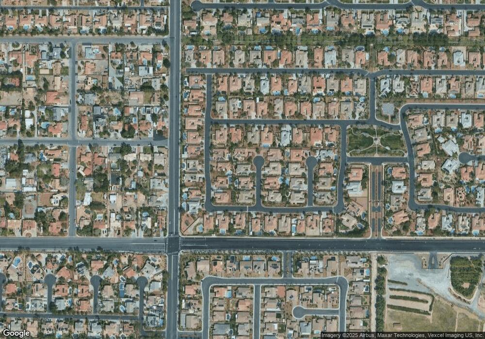
Map
Nearby Homes
- 7286 Mount Kearsarge St
- 7289 Mount Kearsarge St
- 7119 Wolf Rivers Ave
- 7120 April Wind Ave
- 7340 N Monte Cristo Way
- 7073 Winstar St
- 7141 Groveton Ct
- 7001 Via Locanda Ave
- 6900 May Basket Ave
- 7026 Appaloosa Ridge St
- 7011 Arabian Ridge St
- 7059 Falabella Ridge Ave
- 7320 Falvo Ave
- 7300 Lake Farm Ave
- 7310 Heggie Ave
- 7220 Elderly Ave
- 7400 Bisonwood Ave
- 7411 Brittlethorne Ave
- 7414 Page Ranch Ct
- 7340 Elderly Ave
- 7297 Sea Anchor Ct Unit 2
- 7294 Mount Kearsarge St
- 7290 Mount Kearsarge St
- 7298 Mount Kearsarge St
- 7285 Sea Anchor Ct
- 7294 Sea Anchor Ct Unit 2
- 7290 Sea Anchor Ct
- 7298 Sea Anchor Ct
- 7109 Spring Beauty Ave
- 7113 Spring Beauty Ave Unit 2
- 7286 Sea Anchor Ct Unit 2
- 7105 Spring Beauty Ave
- 7117 Spring Beauty Ave
- 7293 Mount Kearsarge St
- 7101 Spring Beauty Ave
- 7293 Sea Boot Ct
- 7297 Mount Kearsarge St
- 7289 Sea Boot Ct
- 7285 Mount Kearsarge St Unit 2