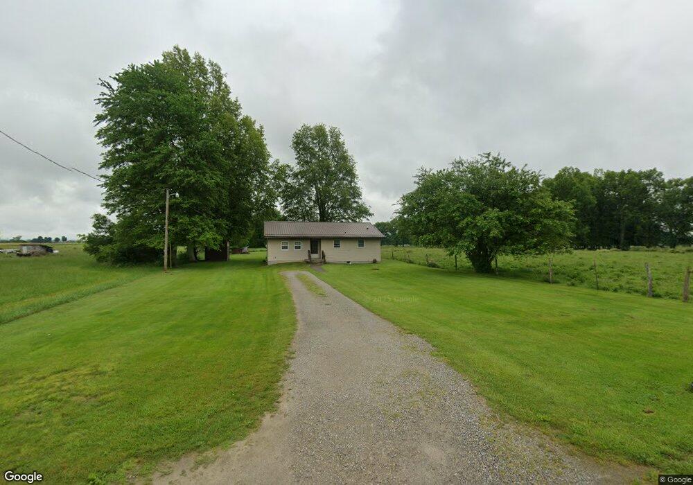
7294 West Rd Bainbridge, OH 45612
Estimated Value: $143,000 - $199,000
1
Bed
1
Bath
1,392
Sq Ft
$119/Sq Ft
Est. Value
About This Home
This home is located at 7294 West Rd, Bainbridge, OH 45612 and is currently estimated at $164,978, approximately $118 per square foot. 7294 West Rd is a home located in Highland County with nearby schools including McClain High School.
Ownership History
Date
Name
Owned For
Owner Type
Purchase Details
Closed on
Mar 27, 2006
Sold by
Rayburn Monty L and Rayburn Barbara
Bought by
Cooper Mark T
Current Estimated Value
Home Financials for this Owner
Home Financials are based on the most recent Mortgage that was taken out on this home.
Original Mortgage
$45,300
Outstanding Balance
$26,062
Interest Rate
6.38%
Mortgage Type
Fannie Mae Freddie Mac
Estimated Equity
$138,916
Purchase Details
Closed on
Jan 1, 1990
Bought by
Wagoner Clarence
Create a Home Valuation Report for This Property
The Home Valuation Report is an in-depth analysis detailing your home's value as well as a comparison with similar homes in the area
Purchase History
| Date | Buyer | Sale Price | Title Company |
|---|---|---|---|
| Cooper Mark T | $48,000 | Washington Title Agency | |
| Wagoner Clarence | -- | -- |
Source: Public Records
Mortgage History
| Date | Status | Borrower | Loan Amount |
|---|---|---|---|
| Open | Cooper Mark T | $45,300 |
Source: Public Records
Tax History
| Year | Tax Paid | Tax Assessment Tax Assessment Total Assessment is a certain percentage of the fair market value that is determined by local assessors to be the total taxable value of land and additions on the property. | Land | Improvement |
|---|---|---|---|---|
| 2024 | $984 | $32,210 | $7,880 | $24,330 |
| 2023 | $990 | $25,000 | $6,760 | $18,240 |
| 2022 | $850 | $25,000 | $6,760 | $18,240 |
| 2021 | $807 | $25,000 | $6,760 | $18,240 |
| 2020 | $692 | $20,830 | $5,640 | $15,190 |
| 2019 | $702 | $20,830 | $5,640 | $15,190 |
| 2018 | $712 | $20,830 | $5,640 | $15,190 |
| 2017 | $690 | $20,200 | $5,670 | $14,530 |
| 2016 | $691 | $20,200 | $5,670 | $14,530 |
| 2015 | $718 | $20,200 | $5,670 | $14,530 |
| 2014 | $718 | $19,220 | $5,390 | $13,830 |
| 2013 | $755 | $19,220 | $5,390 | $13,830 |
Source: Public Records
Map
Nearby Homes
- 7081 Woodland Trail
- 12130 Lakefront Dr
- 12050 Beech Trail
- 0.459ac Lakefront Dr
- 12046 Lakefront Dr
- 6901 Hill Rd
- 14240 Briar Hill Rd
- 6248 McCoppin Mill Rd
- 11515 Dundee Dr
- 11493 Highland Hills Dr
- 7085 Highland Trail E
- 7069 Forest Cove Cir
- 14703 Brier Rd
- 7139 Highland Trail E
- 6949 Highland Trail W Unit TLW
- acres +- N Beach Rd
- 5396 Ohio 753
- 11251 Petersburg Rd
- 57+-AC N Shore Dr
- 6582 Wizard of Oz Way
- 7328 West Rd
- 13094 Barrett Mill Rd
- 13016 Barrett Mill Rd
- 7158 West Rd
- 7425 West Rd
- 7201 West Rd
- 7060 West Rd
- 12936 Barrett Mill Rd
- 13184 Barrett Mill Rd
- 12854 South St
- 12945 Barrett Mill Rd
- 12917 Barretts Mill Rd
- 12908 Barrett Mill Rd
- 12893 Barrett Mill Rd
- 12960 Us Highway 50 W
- 12972 Us Highway 50 W
- 12952 Us Highway 50 W
- 12890 Barrett Mill Rd
- 12930 Us Highway 50 W
- 12875 South St
Your Personal Tour Guide
Ask me questions while you tour the home.