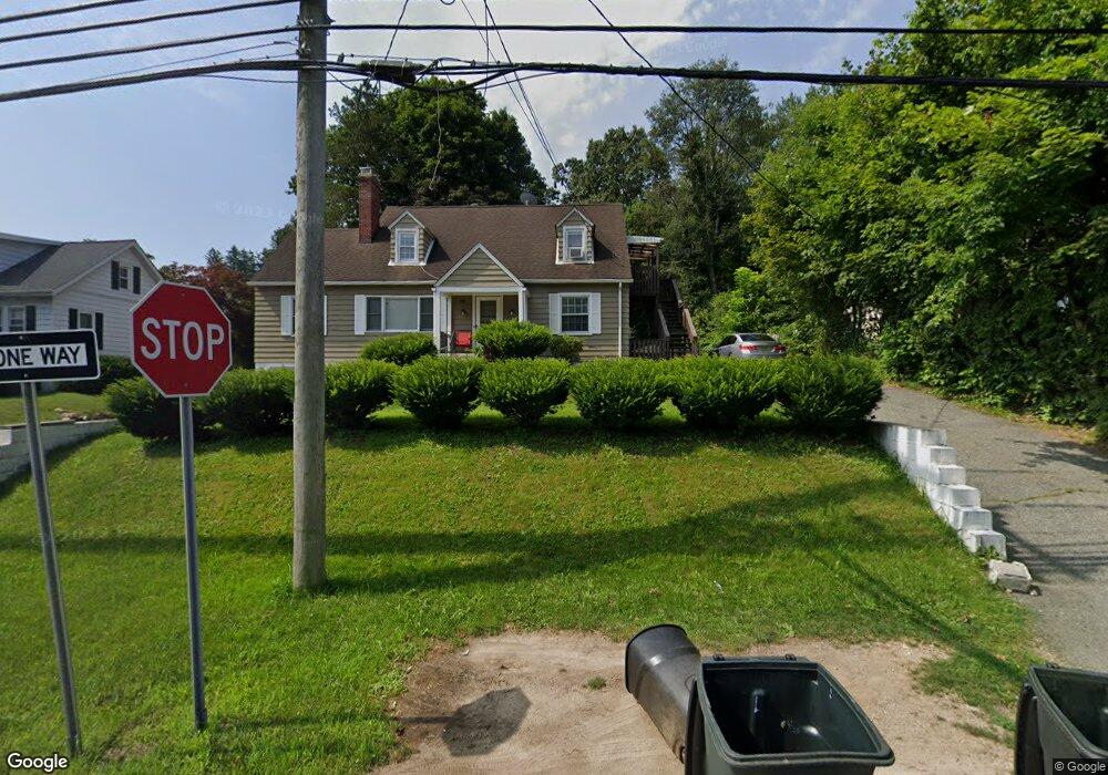
72A W Union Turnpike Wharton, NJ 07885
Estimated Value: $492,000 - $558,000
--
Bed
--
Bath
2,651
Sq Ft
$201/Sq Ft
Est. Value
About This Home
This home is located at 72A W Union Turnpike, Wharton, NJ 07885 and is currently estimated at $532,299, approximately $200 per square foot. 72A W Union Turnpike is a home located in Morris County with nearby schools including Marie V. Duffy Elementary School and A C Mac Kinnon Middle School.
Ownership History
Date
Name
Owned For
Owner Type
Purchase Details
Closed on
Apr 29, 2020
Sold by
Queen S Park Oval Asset Holding Trust
Bought by
U S Bank Trust Na and Kingsmead Asset Holding Trust
Current Estimated Value
Purchase Details
Closed on
Sep 8, 2016
Sold by
Ortiz Angel
Bought by
Queens Park Oval Assel Holding Trust
Purchase Details
Closed on
Oct 26, 2005
Sold by
Ortiz Angel
Bought by
Ortiz Angel and Ortiz Maria
Home Financials for this Owner
Home Financials are based on the most recent Mortgage that was taken out on this home.
Original Mortgage
$306,000
Interest Rate
5.93%
Mortgage Type
New Conventional
Purchase Details
Closed on
Aug 9, 1995
Sold by
Rodriguez Wilfred and Rodriguez Zorida
Bought by
Cintron Gregory and Cintron Marina Yolanda
Create a Home Valuation Report for This Property
The Home Valuation Report is an in-depth analysis detailing your home's value as well as a comparison with similar homes in the area
Home Values in the Area
Average Home Value in this Area
Purchase History
| Date | Buyer | Sale Price | Title Company |
|---|---|---|---|
| U S Bank Trust Na | -- | None Available | |
| Queens Park Oval Assel Holding Trust | -- | None Available | |
| Ortiz Angel | -- | -- | |
| Cintron Gregory | $150,000 | -- |
Source: Public Records
Mortgage History
| Date | Status | Borrower | Loan Amount |
|---|---|---|---|
| Previous Owner | Ortiz Angel | $306,000 |
Source: Public Records
Tax History Compared to Growth
Tax History
| Year | Tax Paid | Tax Assessment Tax Assessment Total Assessment is a certain percentage of the fair market value that is determined by local assessors to be the total taxable value of land and additions on the property. | Land | Improvement |
|---|---|---|---|---|
| 2025 | $10,132 | $368,500 | $98,400 | $270,100 |
| 2024 | $9,515 | $342,400 | $94,100 | $248,300 |
| 2023 | $9,515 | $317,800 | $89,800 | $228,000 |
| 2022 | $8,744 | $300,100 | $89,800 | $210,300 |
| 2021 | $8,120 | $286,600 | $89,800 | $196,800 |
| 2020 | $8,481 | $272,800 | $85,500 | $187,300 |
| 2019 | $8,120 | $263,300 | $85,500 | $177,800 |
| 2018 | $7,709 | $255,100 | $85,500 | $169,600 |
| 2017 | $7,534 | $246,600 | $81,000 | $165,600 |
| 2016 | $7,357 | $258,400 | $81,000 | $177,400 |
| 2015 | $7,726 | $255,500 | $81,000 | $174,500 |
| 2014 | $7,722 | $252,600 | $81,000 | $171,600 |
Source: Public Records
Map
Nearby Homes
- 52 W Union Turnpike
- 399 N Main St
- 22145 Westview
- 18116 Westview Unit 116E
- 18116 Westview
- 322 Richard Mine Rd
- 322 Richard Mine Rd Unit 4
- 19123 Westview Unit 19123
- 322 P7 Richard Mine Rd Unit 7
- 42 Fern Ave
- 8 Baker Ave
- 10 Fernandez Ln
- 32 Teabo Rd
- 17 Anderson Rd
- 3 Sickle St
- 75 White St
- 15 Rock Hollow Rd
- 18 Wabash Ave
- 24 Homestead Way
- 78 James St
- 72 W Union Turnpike
- 76 W Union Turnpike
- 70 W Union Turnpike
- 80 W Union Turnpike
- 7 Elizabeth St
- 62 W Union Turnpike
- 15 Elizabeth St
- 21 Elizabeth St
- 84 W Union Turnpike
- 88 W Union Turnpike
- 25 Elizabeth St
- 50 W Union Turnpike
- 14 Elizabeth St Unit 2
- 14 Elizabeth St
- 14 Elizabeth St Unit B
- 31 Elizabeth St
- 22 Elizabeth St
- 42 W Union Turnpike
- 33 Elizabeth St
- 3 Mount Pleasant Ln