73 2nd Island Rd Webster, MA 01570
Estimated Value: $356,000 - $388,000
3
Beds
1
Bath
1,160
Sq Ft
$323/Sq Ft
Est. Value
About This Home
This home is located at 73 2nd Island Rd, Webster, MA 01570 and is currently estimated at $374,642, approximately $322 per square foot. 73 2nd Island Rd is a home located in Worcester County with nearby schools including Park Avenue Elementary School, Webster Middle School, and Bartlett High School.
Ownership History
Date
Name
Owned For
Owner Type
Purchase Details
Closed on
Dec 6, 2024
Sold by
Woodcock Jane
Bought by
73 Second Island Road Irt and Maple
Current Estimated Value
Purchase Details
Closed on
Jun 5, 1987
Sold by
Francis Elizabeth A
Bought by
Woodcock George R
Home Financials for this Owner
Home Financials are based on the most recent Mortgage that was taken out on this home.
Original Mortgage
$80,000
Interest Rate
10.38%
Mortgage Type
Purchase Money Mortgage
Create a Home Valuation Report for This Property
The Home Valuation Report is an in-depth analysis detailing your home's value as well as a comparison with similar homes in the area
Home Values in the Area
Average Home Value in this Area
Purchase History
| Date | Buyer | Sale Price | Title Company |
|---|---|---|---|
| 73 Second Island Road Irt | -- | None Available | |
| 73 Second Island Road Irt | -- | None Available | |
| Woodcock George R | $94,500 | -- |
Source: Public Records
Mortgage History
| Date | Status | Borrower | Loan Amount |
|---|---|---|---|
| Previous Owner | Woodcock George R | $80,000 | |
| Previous Owner | Woodcock George R | $20,000 |
Source: Public Records
Tax History Compared to Growth
Tax History
| Year | Tax Paid | Tax Assessment Tax Assessment Total Assessment is a certain percentage of the fair market value that is determined by local assessors to be the total taxable value of land and additions on the property. | Land | Improvement |
|---|---|---|---|---|
| 2025 | $3,569 | $300,400 | $67,700 | $232,700 |
| 2024 | $3,521 | $289,100 | $65,200 | $223,900 |
| 2023 | $3,185 | $254,800 | $62,000 | $192,800 |
| 2022 | $3,098 | $221,900 | $60,300 | $161,600 |
| 2021 | $3,026 | $200,400 | $60,300 | $140,100 |
| 2020 | $102 | $193,900 | $60,300 | $133,600 |
| 2019 | $2,772 | $180,800 | $60,300 | $120,500 |
| 2018 | $2,581 | $167,700 | $57,500 | $110,200 |
| 2017 | $2,451 | $162,000 | $56,300 | $105,700 |
| 2016 | $2,400 | $158,500 | $56,300 | $102,200 |
| 2015 | $2,419 | $164,800 | $63,100 | $101,700 |
Source: Public Records
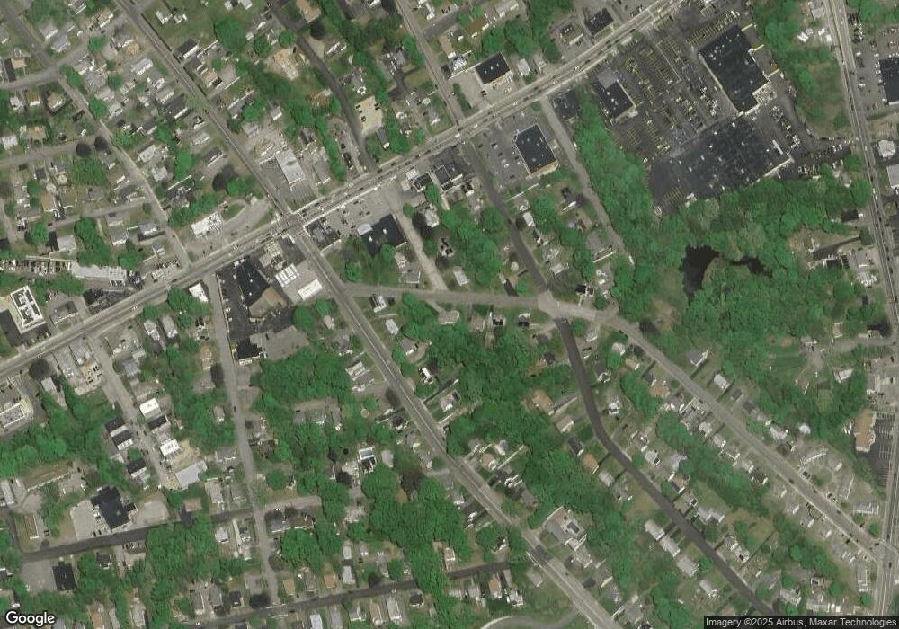
Map
Nearby Homes
- 71 2nd Island Rd
- 21 Park Ave
- Lot B Stefaniak Ave
- Lot A Stefaniak Ave
- XX Withheld
- Lot 6 Kate Rd
- LOT 38 21 Konkel Ave
- LOT B Hall Rd
- LOT240 Lakeside Ave
- LOT240 Freeman Ave
- LOT 90 Brookside Avenue Extension
- LOT 14 Anthony St
- LOT40 Kenneth Dr
- LOT 44 Riverside Dr
- LOT 13 Harvard St
- LOT12 41 Blueberryhill
- LOT 1 Sutton Rd
- LOT 3 Sutton Rd
- LOT 1 Linwood St
- LOT 4 Sutton Rd