73 Adrian Cir Constantia, NY 13044
Estimated Value: $336,000 - $410,000
3
Beds
2
Baths
2,252
Sq Ft
$164/Sq Ft
Est. Value
About This Home
This home is located at 73 Adrian Cir, Constantia, NY 13044 and is currently estimated at $369,849, approximately $164 per square foot. 73 Adrian Cir is a home located in Oswego County with nearby schools including Paul V. Moore High School.
Ownership History
Date
Name
Owned For
Owner Type
Purchase Details
Closed on
Sep 3, 2009
Sold by
Lawlee Jonathan P and Lawlee Kara J
Bought by
Musengo Robert F
Current Estimated Value
Home Financials for this Owner
Home Financials are based on the most recent Mortgage that was taken out on this home.
Original Mortgage
$25,050
Outstanding Balance
$16,457
Interest Rate
5.28%
Mortgage Type
Unknown
Estimated Equity
$353,392
Purchase Details
Closed on
Jan 20, 2004
Sold by
Soble Edwin M
Bought by
Green Lake Associates Ll C
Create a Home Valuation Report for This Property
The Home Valuation Report is an in-depth analysis detailing your home's value as well as a comparison with similar homes in the area
Home Values in the Area
Average Home Value in this Area
Purchase History
| Date | Buyer | Sale Price | Title Company |
|---|---|---|---|
| Musengo Robert F | $166,900 | None Available | |
| Green Lake Associates Ll C | -- | Riehlman, Shafer & Shafer |
Source: Public Records
Mortgage History
| Date | Status | Borrower | Loan Amount |
|---|---|---|---|
| Open | Musengo Robert F | $25,050 | |
| Open | Musengo Robert F | $133,500 |
Source: Public Records
Tax History Compared to Growth
Tax History
| Year | Tax Paid | Tax Assessment Tax Assessment Total Assessment is a certain percentage of the fair market value that is determined by local assessors to be the total taxable value of land and additions on the property. | Land | Improvement |
|---|---|---|---|---|
| 2024 | $7,192 | $175,000 | $15,700 | $159,300 |
| 2023 | $7,010 | $175,000 | $15,700 | $159,300 |
| 2022 | $6,752 | $175,000 | $15,700 | $159,300 |
| 2021 | $6,589 | $175,000 | $15,700 | $159,300 |
| 2020 | $5,716 | $175,000 | $15,700 | $159,300 |
| 2019 | $5,616 | $175,000 | $15,700 | $159,300 |
| 2018 | $5,616 | $175,000 | $15,700 | $159,300 |
| 2017 | $5,304 | $175,000 | $15,700 | $159,300 |
| 2016 | $5,331 | $175,000 | $15,700 | $159,300 |
| 2015 | -- | $175,000 | $15,700 | $159,300 |
| 2014 | -- | $175,000 | $15,700 | $159,300 |
Source: Public Records
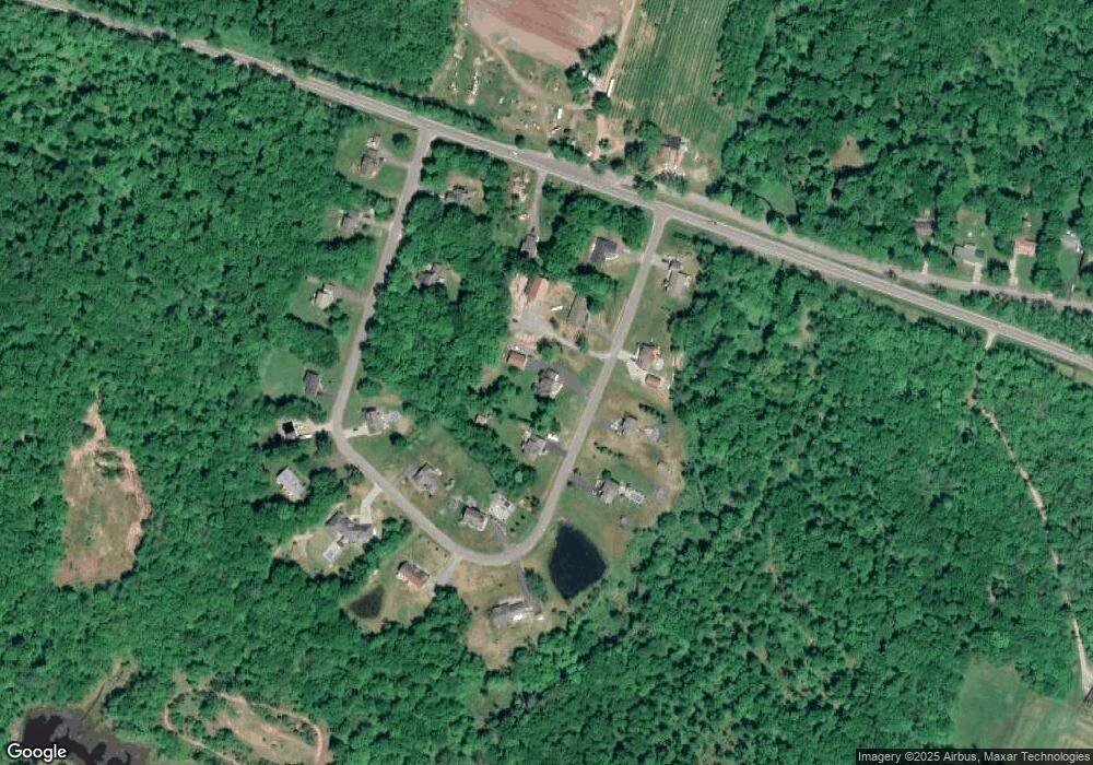
Map
Nearby Homes
- 94 Avery Rd
- 356 Lower Rd
- 37 Depot Rd
- 2334 State Route 49
- 2337 State Route 49 Unit 43
- 11 28th St
- 15 Parker Rd
- 734 County Route 23
- 160 County Route 23
- 2 Monroe Blvd
- 74 Redfield St
- 19 Whig Hill Rd
- 123 Knapp Rd
- 620 County Route 23
- 0 Cr-26 Unit S1632231
- 9 Redfield St
- 388 County Route 11
- 143 Toad Harbor Rd
- 96 Slosson Rd
- 0 Slosson Rd