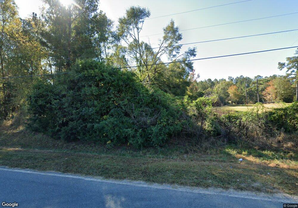
73 Allie Rd Greenville, GA 30222
Estimated Value: $203,000 - $336,000
3
Beds
1
Bath
1,544
Sq Ft
$173/Sq Ft
Est. Value
About This Home
This home is located at 73 Allie Rd, Greenville, GA 30222 and is currently estimated at $266,891, approximately $172 per square foot. 73 Allie Rd is a home located in Meriwether County with nearby schools including George E. Washington Elementary School.
Ownership History
Date
Name
Owned For
Owner Type
Purchase Details
Closed on
Jun 6, 2006
Sold by
Houston James
Bought by
Copeland Charles S
Current Estimated Value
Purchase Details
Closed on
Oct 23, 2003
Sold by
Klinkert Patricia
Bought by
Houston James & Cynthia
Purchase Details
Closed on
Jul 12, 1996
Sold by
American Heritage Cr
Bought by
Klinkert Patricia
Purchase Details
Closed on
Mar 1, 1995
Sold by
Carter Carter R and Carter
Bought by
American Heritage Cr
Purchase Details
Closed on
Aug 1, 1992
Sold by
Belinda K Hand Lot2
Bought by
Carter Carter R and Carter
Purchase Details
Closed on
Dec 1, 1989
Bought by
Belinda K Hand Lot2
Create a Home Valuation Report for This Property
The Home Valuation Report is an in-depth analysis detailing your home's value as well as a comparison with similar homes in the area
Home Values in the Area
Average Home Value in this Area
Purchase History
| Date | Buyer | Sale Price | Title Company |
|---|---|---|---|
| Copeland Charles S | $145,000 | -- | |
| Houston James & Cynthia | $110,000 | -- | |
| Klinkert Patricia | $15,000 | -- | |
| American Heritage Cr | $32,000 | -- | |
| Carter Carter R | $6,500 | -- | |
| Belinda K Hand Lot2 | -- | -- |
Source: Public Records
Tax History Compared to Growth
Tax History
| Year | Tax Paid | Tax Assessment Tax Assessment Total Assessment is a certain percentage of the fair market value that is determined by local assessors to be the total taxable value of land and additions on the property. | Land | Improvement |
|---|---|---|---|---|
| 2024 | $2,629 | $79,128 | $21,360 | $57,768 |
| 2023 | $1,999 | $57,928 | $21,360 | $36,568 |
| 2022 | $1,999 | $57,928 | $21,360 | $36,568 |
| 2021 | $2,031 | $57,928 | $21,360 | $36,568 |
| 2020 | $2,047 | $57,928 | $21,360 | $36,568 |
| 2019 | $2,053 | $57,928 | $21,360 | $36,568 |
| 2018 | $2,072 | $57,928 | $21,360 | $36,568 |
| 2017 | $2,096 | $57,928 | $21,360 | $36,568 |
| 2016 | $1,907 | $57,928 | $21,360 | $36,568 |
| 2015 | $1,910 | $57,928 | $21,360 | $36,568 |
| 2014 | $1,910 | $57,928 | $21,360 | $36,568 |
| 2013 | -- | $57,928 | $21,360 | $36,568 |
Source: Public Records
Map
Nearby Homes
- 661 Hugh O Neal Rd
- 500 Todd Rd
- 2114 Allie Rd
- The Bradford Plan at Roosevelt Hwy
- The Millie Plan at Roosevelt Hwy
- 5529 Rocky Mount Rd
- The Millie Plan at Andrews Mill
- 18760 Roosevelt Hwy
- 6348 Rocky Mount Rd Unit 3
- 6288 Rocky Mount Rd Unit 2
- 0 Andrews Mill Rd Unit LOT 2 10581693
- 0 Andrews Mill Rd Unit LOT 1 10571858
- 1606 McWilliams Barber Rd
- 1872 McWilliams Barber Rd
- 371 Hawks Nest Dr
- 95 Amanda Ct
- 1608 McWilliams Barber Rd
- 53 Coyote Cir
- 0 Amanda Ct Unit 10552958
- 0 Amanda Ct Unit 7604243
- 3085 Rocky Mount Rd
- 159 Allie Rd
- 72 Allie Rd
- 199 Allie Rd
- 198 Allie Rd
- 0 Allie Rd Unit (13.105 ac) 8411086
- 0 Allie Rd Unit 1 8411918
- 0 Allie Rd Unit 2688653
- 0 Allie Rd Unit 2958100
- 0 Allie Rd Unit 3034406
- 0 Allie Rd Unit TRACT 2A 3120441
- 0 Allie Rd Unit 226 3224306
- 0 Allie Rd Unit 7045120
- 0 Allie Rd Unit 226 7100510
- 0 Allie Rd Unit 7128956
- 0 Allie Rd Unit 7130156
- 0 Allie Rd Unit 7187532
- 0 Allie Rd Unit 7314947
- 0 Allie Rd Unit 130.75+/- AC 7319837
- 0 Allie Rd Unit 1.41+/- AC 7319806
