73 Amy Hart Path Little Compton, RI 02837
Estimated Value: $788,000 - $1,024,000
3
Beds
3
Baths
2,369
Sq Ft
$369/Sq Ft
Est. Value
About This Home
This home is located at 73 Amy Hart Path, Little Compton, RI 02837 and is currently estimated at $873,533, approximately $368 per square foot. 73 Amy Hart Path is a home with nearby schools including Wilbur & McMahon School.
Ownership History
Date
Name
Owned For
Owner Type
Purchase Details
Closed on
Jun 4, 2021
Sold by
Piemonte Kurt and Piemonte Huqing
Bought by
Piemonte Kurt and Piemonte Huqing
Current Estimated Value
Purchase Details
Closed on
Dec 21, 2020
Sold by
Carolyn Estes T and Carolyn Estes
Bought by
Piemonte Kurt and Piemonte Huqing
Purchase Details
Closed on
Dec 15, 1987
Bought by
Louise Nelson
Create a Home Valuation Report for This Property
The Home Valuation Report is an in-depth analysis detailing your home's value as well as a comparison with similar homes in the area
Home Values in the Area
Average Home Value in this Area
Purchase History
| Date | Buyer | Sale Price | Title Company |
|---|---|---|---|
| Piemonte Kurt | -- | None Available | |
| Piemonte Kurt | -- | None Available | |
| Piemonte Kurt | $215,000 | None Available | |
| Piemonte Kurt | $215,000 | None Available | |
| Louise Nelson | -- | -- |
Source: Public Records
Mortgage History
| Date | Status | Borrower | Loan Amount |
|---|---|---|---|
| Previous Owner | Louise Nelson | $50,000 |
Source: Public Records
Tax History Compared to Growth
Tax History
| Year | Tax Paid | Tax Assessment Tax Assessment Total Assessment is a certain percentage of the fair market value that is determined by local assessors to be the total taxable value of land and additions on the property. | Land | Improvement |
|---|---|---|---|---|
| 2025 | $6,263 | $1,307,500 | $209,500 | $1,098,000 |
| 2024 | $2,685 | $528,500 | $183,600 | $344,900 |
| 2023 | $877 | $176,800 | $176,800 | $0 |
| 2022 | $866 | $176,800 | $176,800 | $0 |
| 2021 | $1,230 | $203,700 | $203,700 | $0 |
| 2020 | $1,111 | $185,400 | $185,400 | $0 |
| 2019 | $1,099 | $185,400 | $185,400 | $0 |
| 2018 | $1,088 | $185,400 | $185,400 | $0 |
| 2016 | $1,051 | $185,400 | $185,400 | $0 |
| 2015 | $990 | $172,100 | $172,100 | $0 |
| 2014 | $971 | $172,100 | $172,100 | $0 |
Source: Public Records
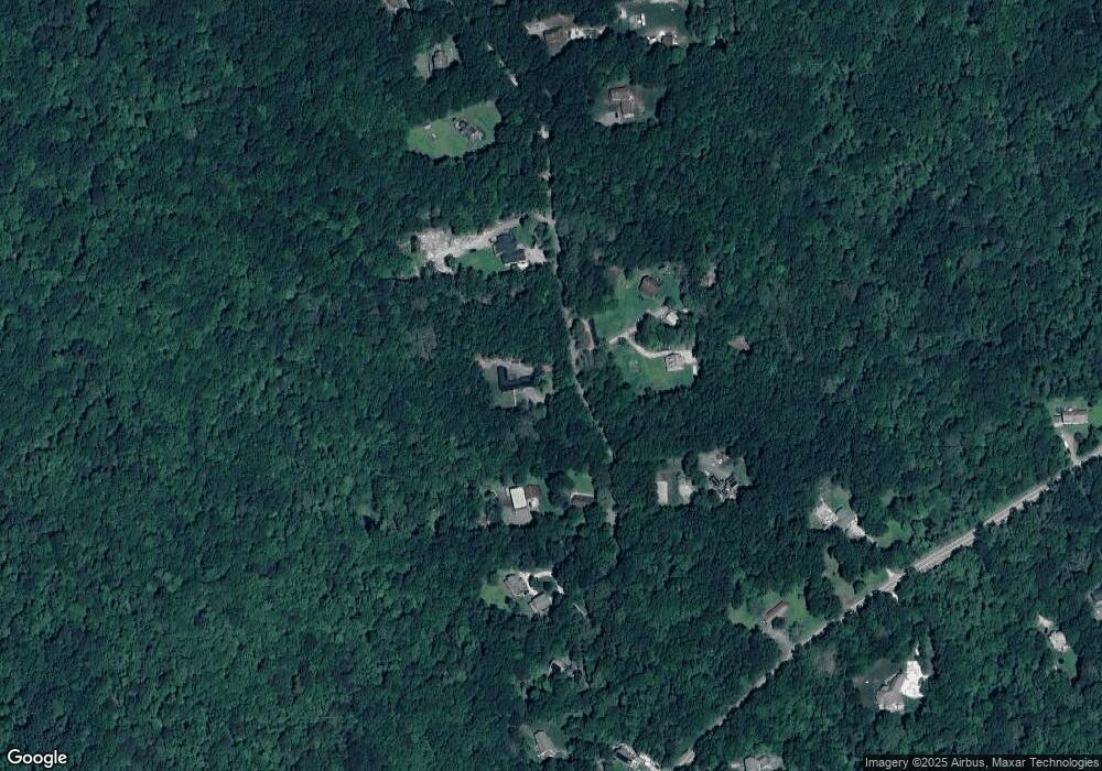
Map
Nearby Homes
- 116 Amy Hart Path
- 90 Two Rod Rd
- 83 Long Hwy
- 184 Field Stone Ln
- 245 John Dyer Rd
- 17 Quail Trail
- 0 S Lake Rd Unit 73361665
- 0 S Lake Rd Unit 1382842
- 0 S Lake Rd Unit 1400795
- 505 Long Hwy
- 255 John Dyer Rd
- 0 Willow Ave
- 24 Peaceful Way
- 19 Seabury Ln
- 60 Edmond Ln
- 3622 Main Rd
- 1346 Main Rd Unit B
- 55 W Main Rd
- 101 Adamsville Rd
- 180 W Main Rd
- 65 Amy Hart Path
- 113 Amy Hart Path
- 61 Amy Hart Path
- 81 Amy Hart Path
- 74 Amy Hart Path
- 72 Amy Hart Path
- 41 Amy Hart Path
- 111 Amy Hart Path
- 0 Amy Hart Path
- 36 Amy Hart Path
- 35 Amy Hart Path
- 17 Amy Hart Path
- 40 Amy Hart Path
- 62 Amy Hart Path
- 71 Amy Hart Path
- 82 Amy Hart Path
- 55 Amy Hart Path
- 85 Amy Hart Path
- 56 Amy Hart Path
- 109 Amy Hart Path