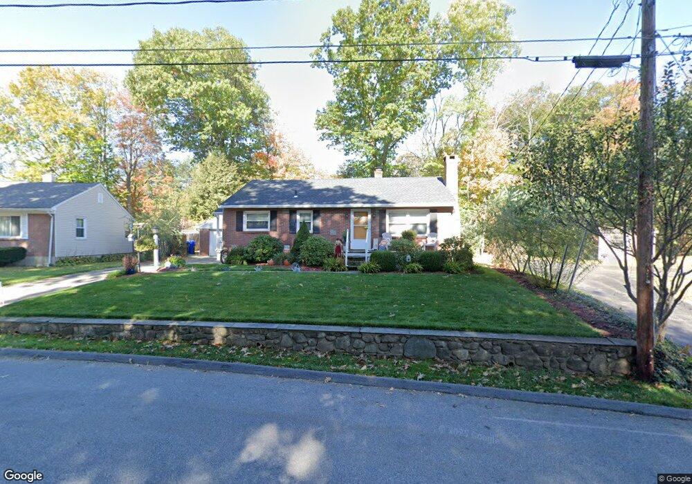
73 Arbor Dr Torrington, CT 06790
Estimated Value: $271,000 - $293,000
3
Beds
1
Bath
1,160
Sq Ft
$245/Sq Ft
Est. Value
About This Home
This home is located at 73 Arbor Dr, Torrington, CT 06790 and is currently estimated at $284,439, approximately $245 per square foot. 73 Arbor Dr is a home located in Litchfield County with nearby schools including Torrington Middle School, Torrington High School, and St. John Paul the Great Academy.
Ownership History
Date
Name
Owned For
Owner Type
Purchase Details
Closed on
Mar 26, 2015
Sold by
Calkins Alan R
Bought by
Calkins Alan R and Calkins Bernice
Current Estimated Value
Purchase Details
Closed on
Sep 30, 2011
Sold by
Hinchcliffe Vilma M
Bought by
Calkins Alan R
Home Financials for this Owner
Home Financials are based on the most recent Mortgage that was taken out on this home.
Original Mortgage
$12,300
Interest Rate
4.15%
Create a Home Valuation Report for This Property
The Home Valuation Report is an in-depth analysis detailing your home's value as well as a comparison with similar homes in the area
Home Values in the Area
Average Home Value in this Area
Purchase History
| Date | Buyer | Sale Price | Title Company |
|---|---|---|---|
| Calkins Alan R | -- | -- | |
| Calkins Alan R | $62,500 | -- | |
| Calkins Alan R | $62,500 | -- |
Source: Public Records
Mortgage History
| Date | Status | Borrower | Loan Amount |
|---|---|---|---|
| Previous Owner | Calkins Alan R | $12,300 | |
| Previous Owner | Calkins Alan R | $121,831 |
Source: Public Records
Tax History
| Year | Tax Paid | Tax Assessment Tax Assessment Total Assessment is a certain percentage of the fair market value that is determined by local assessors to be the total taxable value of land and additions on the property. | Land | Improvement |
|---|---|---|---|---|
| 2025 | $6,398 | $166,390 | $30,520 | $135,870 |
| 2024 | $4,608 | $96,050 | $30,560 | $65,490 |
| 2023 | $4,607 | $96,050 | $30,560 | $65,490 |
| 2022 | $4,528 | $96,050 | $30,560 | $65,490 |
| 2021 | $4,435 | $96,050 | $30,560 | $65,490 |
| 2020 | $4,435 | $96,050 | $30,560 | $65,490 |
| 2019 | $4,190 | $90,750 | $33,960 | $56,790 |
| 2018 | $4,190 | $90,750 | $33,960 | $56,790 |
| 2017 | $4,152 | $90,750 | $33,960 | $56,790 |
| 2016 | $4,152 | $90,750 | $33,960 | $56,790 |
| 2015 | $4,152 | $90,750 | $33,960 | $56,790 |
| 2014 | $4,123 | $113,520 | $45,490 | $68,030 |
Source: Public Records
Map
Nearby Homes
- 71 Doman Dr
- 38 Surrey Ln Unit 38
- 0 Queens Rd
- 27 Surrey Ln Unit d27
- 839 Main St Unit 56
- 839 Main St Unit 98
- 839 Main St Unit 78
- 839 Main St Unit 104
- 75 Hunter Ct Unit 75
- 79 Hunter Ct
- 682 Main St
- 23 Benham St
- 277 Brightwood Ave
- 67 Amherst St
- 483 Charles St
- 0 Stoneridge Dr
- 00 Kennedy Dr
- 00 Winthrop St & E Elm St
- 42 Harpswell St
- 130 N Elm St
- 69 Arbor Dr
- 89 Arbor Dr
- 162 College Ave
- 172 College Ave
- 234 Northside Dr
- 90 Arbor Dr
- 59 Arbor Dr
- 226 Northside Dr
- 184 College Ave
- 142 College Ave
- 216 Northside Dr
- 52 Arbor Dr
- 167 College Ave
- 157 College Ave
- 241 Northside Dr
- 255 Northside Dr
- 17 Arbor Dr
- 292 Northside Dr
- 231 Northside Dr
- 267 Northside Dr
Your Personal Tour Guide
Ask me questions while you tour the home.