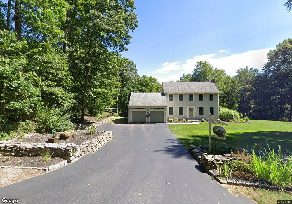
73 Borkum Rd Spencer, MA 01562
Estimated Value: $554,000 - $695,000
4
Beds
3
Baths
2,304
Sq Ft
$265/Sq Ft
Est. Value
About This Home
This home is located at 73 Borkum Rd, Spencer, MA 01562 and is currently estimated at $611,083, approximately $265 per square foot. 73 Borkum Rd is a home located in Worcester County with nearby schools including David Prouty High School.
Ownership History
Date
Name
Owned For
Owner Type
Purchase Details
Closed on
Feb 28, 2001
Sold by
Kingsley Homes Inc
Bought by
Lavallee Phillip H and Lavallee Joanne K
Current Estimated Value
Home Financials for this Owner
Home Financials are based on the most recent Mortgage that was taken out on this home.
Original Mortgage
$197,330
Interest Rate
7%
Mortgage Type
Purchase Money Mortgage
Create a Home Valuation Report for This Property
The Home Valuation Report is an in-depth analysis detailing your home's value as well as a comparison with similar homes in the area
Home Values in the Area
Average Home Value in this Area
Purchase History
| Date | Buyer | Sale Price | Title Company |
|---|---|---|---|
| Lavallee Phillip H | $246,664 | -- |
Source: Public Records
Mortgage History
| Date | Status | Borrower | Loan Amount |
|---|---|---|---|
| Open | Lavallee Phillip H | $256,000 | |
| Closed | Lavallee Phillip H | $208,000 | |
| Closed | Lavallee Phillip H | $208,000 | |
| Closed | Lavallee Phillip H | $197,330 |
Source: Public Records
Tax History Compared to Growth
Tax History
| Year | Tax Paid | Tax Assessment Tax Assessment Total Assessment is a certain percentage of the fair market value that is determined by local assessors to be the total taxable value of land and additions on the property. | Land | Improvement |
|---|---|---|---|---|
| 2025 | $59 | $506,500 | $65,200 | $441,300 |
| 2024 | $5,719 | $499,900 | $65,200 | $434,700 |
| 2023 | $5,374 | $445,600 | $65,200 | $380,400 |
| 2022 | $5,165 | $392,500 | $59,800 | $332,700 |
| 2021 | $4,997 | $355,900 | $59,800 | $296,100 |
| 2020 | $4,672 | $330,900 | $59,800 | $271,100 |
| 2019 | $4,402 | $317,600 | $55,000 | $262,600 |
| 2018 | $4,131 | $307,800 | $62,200 | $245,600 |
| 2017 | $4,124 | $295,000 | $59,800 | $235,200 |
| 2016 | $3,727 | $260,800 | $59,800 | $201,000 |
| 2015 | $3,628 | $265,400 | $65,200 | $200,200 |
| 2014 | $3,490 | $265,400 | $65,200 | $200,200 |
Source: Public Records
Map
Nearby Homes
- 68 Borkum Rd
- 65 Old Spencer Rd
- 50 Old Spencer Rd
- 9 Knollwood Dr
- 25 Clark Rd
- Lot 3 Smith Rd
- Lot 5 Smith Rd
- Lot 4 Smith Rd
- 199 Center Depot Rd
- 20 Leela Ln
- 27 W Applewood Dr
- 7 Little Muggett Rd
- 33 G h Wilson Rd
- 61 Chickering Rd
- 7 Hycrest Rd
- 8 Hycrest Rd
- 2 Wendy Place
- 6 Williams Dr
- 0 I Capen Rd
- 208 Sunset Dr